Hurricane Agatha Rapidly Intensifies
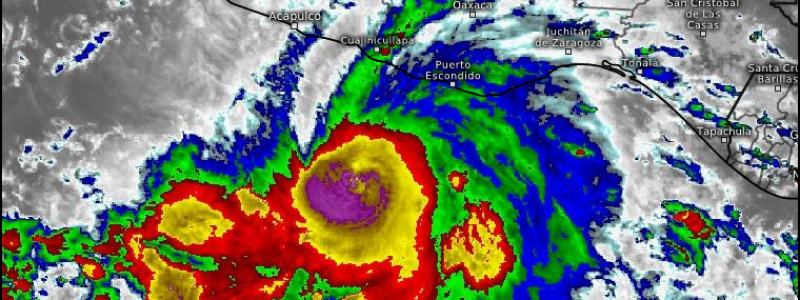
Hurricane Agatha in the Eastern Pacific is the first hurricane of the 2022 Eastern Pacific season. And, it has been a very busy little storm in the last (just under) 48 hours.
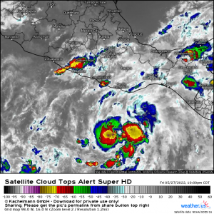
The first public advisory for Agatha (then Tropical Depression One-E) was issued at 10:00 PM CDT on Friday, May 27th.
Winds were estimated at 35 mph with a central pressure of 1006 mb.
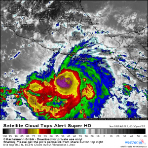
Now, as of the 4 PM CDT public advisory, Hurricane Agatha is undergoing a period of rapid intensification.
Agatha is currently estimated to have maximum sustained winds of 110 mph and a minimum central pressure of 964mb. This places it at a high-end category 2, very nearly Category 3, hurricane.
The requirement for rapid intensification, for those who don’t know/have forgotten, is an increase in wind speed of 35 kts (30 mph) in 24 hours.
As of 4 PM CDT yesterday (May 28th), Agatha’s maximum windspeed was 60 mph. The current estimate of 110 mph is an increase of 50 mph in 24 hours – well over the required threshold for rapid intensification.
Will Agatha continue to intensify? Yes, it is entirely possible.
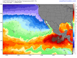
SSTs are very warm around and ahead of Agatha. It has plenty of fuel to work with.
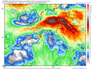
Shear, excepting the TC’s own outflow, is negligible and forecast to remain that way through landfall.
The only things that can slow Agatha down now are an eyewall replacement cycle or interaction with land. However, while an eyewall replacement cycle will halt intensification, it will cause the wind field to expand. If this occurs close to shore, a wider area will feel the hurricane force winds than would have if the EWRC occurred further out to sea or not at all. So really, an EWRC isn’t always a good thing.
Regardless of what category Agatha ends up landfalling as, life-threatening storm surge, hurricane-force winds, and torrential rains are a certainty.
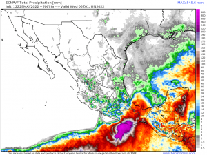
The mountainous terrain of southern Mexico will enhance the rainfall totals from Agatha through orographic lifting. The ECMWF estimates 20 inches + of rainfall on the southern slopes of the Sierra Madre del Sur mountain range. This could lead to life-threatening flash flooding and mudslides.
Those with interests in southern Mexico should already be taking action to secure life and property. Don’t wait! Conditions will deteriorate rapidly into the overnight and early morning hours.
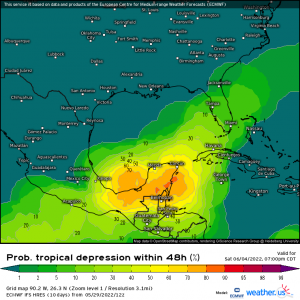
In the medium term, we’ll be watching as the remnants of Agatha traverse southern Mexico and emerge into either the Bay of Campeche or the Western Caribbean.
Redevelopment is a distinct possibility. It’s a bit too early for more details than that, but it is absolutely something to be aware of as we head into the end of the week.
