HSLC Setup to Promote Central US Severe Chances
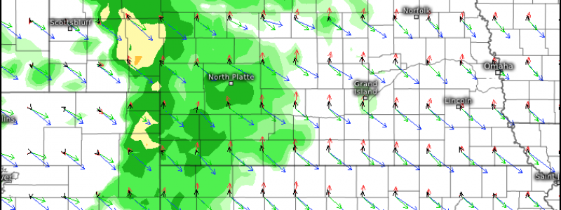
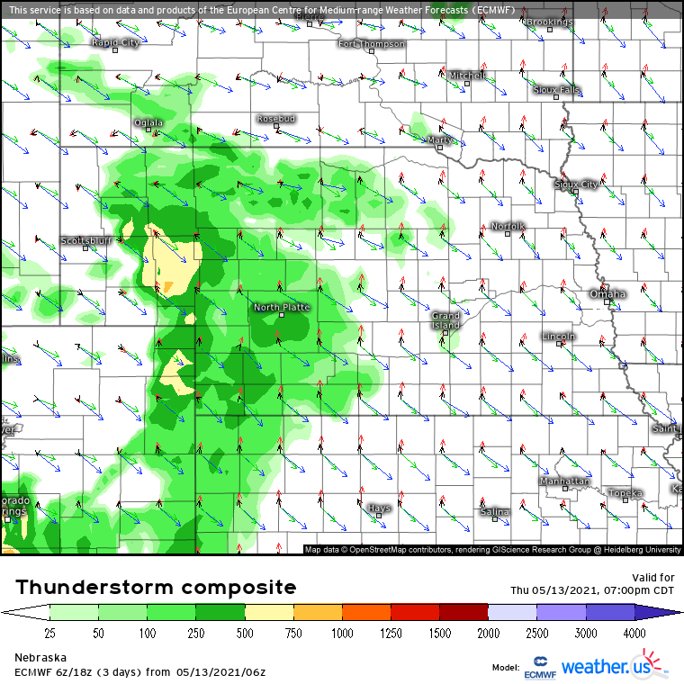
While a pattern synoptically evident for central US severe weather is still around a week out, the ingredients could come together today for a high shear-low CAPE setup in the area today.
Our discussion focuses on Nebraska and Kansas for this severe threat. A trough, highest in amplitude over the Tennessee Valley region, will overspread the aforementioned are of concern with northwesterly midlevel flow from 40 to 50 knots. A subtle shortwave riding northeast of the jet will incite limited divergence just east of the Rockies while simultaneously enhancing flow to perhaps 55 knots.
A belt of southerly flow in the low levels already exists along a fairly steep pressure gradient west of the eastern US anticyclone. As the aforementioned divergence forces mass removal aloft, pressure falls near the CO/NE border into the evening will intensify flow to locally exceed 30 knots. Just like bulk shear, this is hardly extreme, but is enough to keep storms organized, allow some degree of mesocyclone development, and foster unstable inflow favorable for storm propagation.
H0w unstable is unstable? Funny you should ask. Extremely steep lapse rates exceeding 8.5ºc/km from the surface all the way to 500mb are likely in places, but will overspread dewpoints that will struggle to exceed 50ºF. This fairly unusual profile will allow updrafts lifted sufficiently to begin rising convectively, a likelihood only with strong linear forcing. When combined with LCLs more than 1km aloft due to low moisture, tornadic storms seem like a stark unlikelihood.
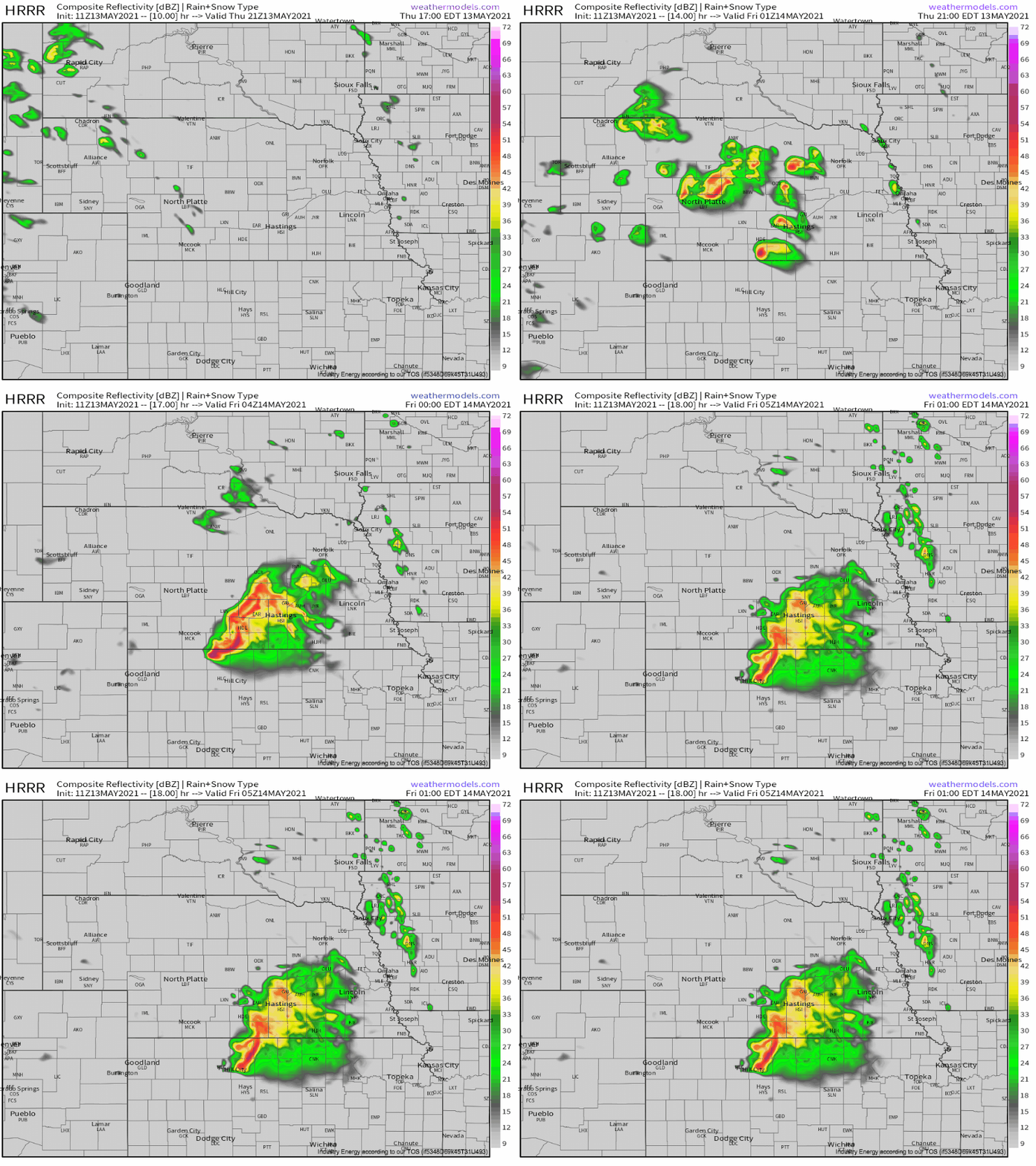
The only reason storms will be able to develop at all in this dry-as-a-bone atmosphere will be along the southeast-surging, weakly defined surface low outlined above. It should foster the development of a couple strongly forced linear segments, which will have a great shear environment for producing swaths of damaging wind. This is especially true given the stout inverted V low level thermodynamic profile. Counterintuitively as it may be, I could even see a couple significant severe (>65knots) reports, despite the lack of robust instability.
Storms will push south into Kansas, before they outpace forcing and the strongest lapse rates and lose steam late into the night.


