How Low Can You Go? Fall Chill Settles In
There’s nothing quite like watching a cool, dry air mass settle into place after a long period of well above average temperatures.
Isn’t it beautiful?
For those who may be grumbling about the loss of the warmth right now, just hush. You had your time. In fact, you had extended time.
Autumn lovers, leaf peepers – this is our week. The cold nights and cool days ahead are going to make those leaves, which have been really behind schedule so far this year, start popping big time by next weekend.
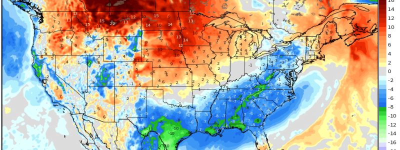
Let’s take a look at how cold it may be for the remainder of the weekend.
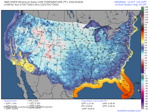
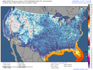
You’ll see two maps above. The first is tonight’s lows. The second is tomorrow night’s lows.
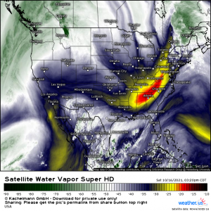
Tonight will be the coldest night for the Midwest and the South Central US. The front moved through these areas yesterday or very early this morning and the cold air has had time to really settle in. Widespread 40s are likely, even down to nearly the immediate Gulf Coast. Northern spots may be looking at 30s while the elevations of the Appalachians could come close to/dip below freezing. Frost is likely on the higher peaks in areas that are sheltered from the wind still blowing over the heights.
The Southeast, Mid-Atlantic, and Northeast will see their coldest night tomorrow. The front is still, in many cases, working its way through these locations. That true cold air won’t be fully settled in until tomorrow. Widespread low 40s are likely with upper to mid 30s in the northern reaches.
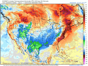
Not only are we treated to cool nights, but we’ll be thoroughly spoiled by at least two more below average days.
Shield your eyes at the end, though. Warmer weather will work its way back in ahead of the next front rolling through toward the end of the week.
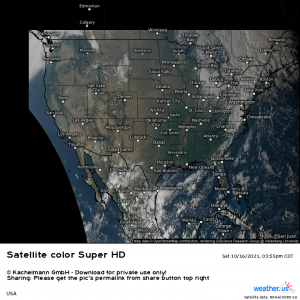
Oh, and did I mention blue skies?!
Once that front clears out, high pressure and subsiding air will dominate. Expect sunny skies, cool days, and clear, cold nights for at least a couple more days.
Get out there and live your best fall life!
