Hot, Dry Weather Persists for the Western US
Thanks to all the tropical activity recently, we’ve spent a lot of time focused on the Eastern US in our blogs. Today we’ll check in with the Western US, which, unfortunately seems much the same in terms of weather: hot, dry, and lousy with wildfires.
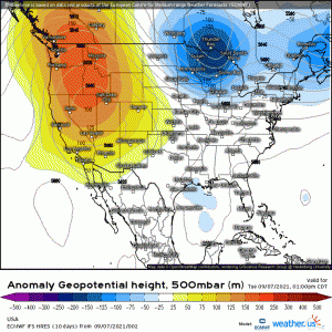
Over the long holiday weekend, a strong ridge has built over the western US. This ridge provides a laundry list of problems for the already well-done west coast.
Heat
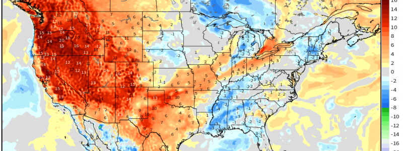
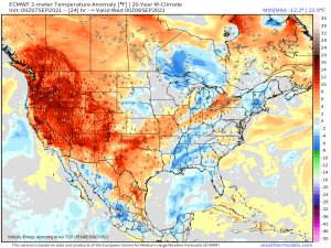
Widespread temperature anomalies of 10 to 20 degrees above average are expected for Washington State all the way down to New Mexico. This translates roughly to the upper 80s/low 90s for the valleys of WA and OR and triple digits for the valleys of CA/southern reaches of NV.
Heat advisories and excessive heat warnings have been posted for much of California and southern Nevada. This part of the country is, no doubt, weary of the constant heat this summer has brought. Unfortunately, it looks to linger a bit longer yet.
Lack of Rain
As we’ve discussed in previous blogs, the extreme drought conditions in the west contribute the excessive heat this region has repeatedly seen over the last few months.
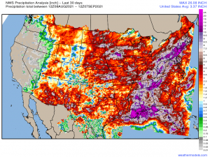
The visual the NWS Precip Analysis from the past 30 days presents is especially shocking: most of the areas experiencing the latest round of above average temps (with exception of the desert southwest and its monsoonal moisture) have received next to no measurable rain. And that’s just for the last 30 days.
The 180 day analysis is even more shocking as these areas, generally, have barely totaled an inch of rain. An inch of rain in the last 6 months! For those of us who live on the wetter eastern side of the US, that’s nearly unfathomable.
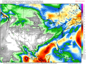
Even if we take the EPS out to next week, there is hardly a hint of rain for any of this region.
With large portions of this part of the country on fire and reservoirs like Lake Mead, which supply water for much of the western US, at record low levels, the situation is truly dire.
Wildfire Conditions
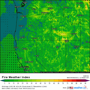
Tomorrow, as ridging persists, downsloping flow off of the Cascades will increase fire weather conditions. We already know that vegetation is dry, but the added warmth and breeziness will elevate the likelihood of any active fires or emerging fires spreading rapidly.
Air Quality
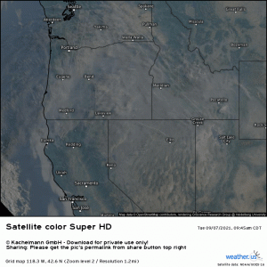
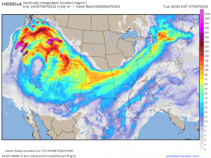
Smoke from the continuing fires in the west is evident on satellite this morning. With a ridge in place and subsiding air underneath it, this smoke isn’t going anywhere any time soon, either.
Thick smoke and poor air quality will be the norm downwind of the larger fires as long as this ridge persists. Try to limit any outdoor activities, especially if you are sensitive to changes in the air quality.
Unfortunately, above-average heat, dry weather, and sub-par air quality look to be the norm for this part of the country at least through the rest of the week. Though the long-range doesn’t look promising at this current point in time for change, this pattern has to break sometime. Fervently hoping the change comes sooner versus later for this region.


Great info, thank you for the consistent content!