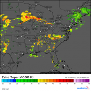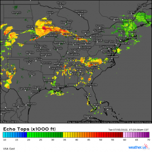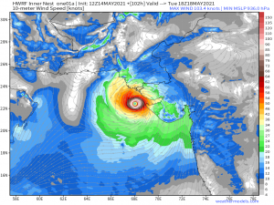
Highlighting the Cloud Tops Satellite Enhancement
We’re going to do something a bit different in today’s blog and highlight/explain one of our lesser-known products. We’ll be doing this now and then as quieter weather allows. Now, some of you may already know about and know how to use these products, which is great! But for those that don’t, this post is for you.
Today we’re going to look at the Cloud Tops enhancement available as part of our satellite products.
(gif) Link
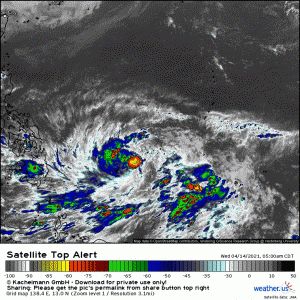
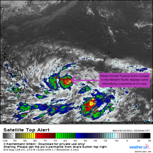
Luckily, we have an excellent opportunity to use and explain it today as a tropical storm is getting itself together in the Western Pacific.
What is the Cloud Tops enhancement?
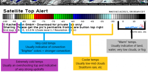
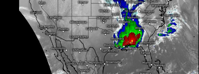
The Cloud Tops map is an enhanced infrared view from the GOES 16 geostationary satellite. As it is an infrared image, sunlight is not needed to produce an image and it can be therefore used during both day and night. Different colors are used to show different temperatures on both the land and in the clouds.
How is the Cloud Tops enhancement used?
Generally, this enhancement is used to find/analyze convection. As stated before, it can be used during both day and night time events and therefore is extremely helpful.
We use this a great deal during hurricane season. The presence and persistence of brighter colors in the clouds near a storm’s core usually indicates that the storm is producing a lot of convection and strengthening. Colder cloud tops indicate a stronger storm.
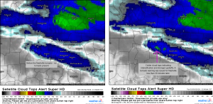
We also use it to identify intensifying thunderstorms, especially at night when any satellite products that rely on sunlight are unavailable. Here’s an example from the Tennessee Tornadoes of March 2 and 3, 2020.
So, as you can see, Cloud Tops can be very useful in a situation where you are trying to analyze convection. Hopefully this little explainer helped increase your understanding not only of what it is, but how it can be used.
Also worth noting: Here at weather.us, we not only have the real-time images worldwide, but an archive of images extending back through 2015. Have an event you want to check out using this enhancement that falls within those date ranges? Hop on over to https://weather.us/satellite/top-alert-superhd-5min.html and get to playing around with it! It’s a great tool!
