High Winds To Affect the Plains as the Next System Cranks Up
The energy from our high end atmospheric river event has begun to move east. It will cause trouble for the northern plains today and tomorrow before moving on to the east coast into the weekend. What kind of trouble, you ask? High winds, heavy snow, and blizzard conditions are all on the table.
Before we get into all that, let’s clear up a common misconception. When most people think of a “blizzard,” they think of crazy amounts of snow. Truth be told, blizzards have very little to do with the amount of snow that falls. Blizzard conditions are defined as winds of 35 mph or greater for a 3+ hour duration with enough blowing/falling snow to limit visibilities to 0.25 miles. There are no requirements for accumulations. A literal inch of snow could fall and it would still be considered a blizzard if the wind and visibility requirements are met. It’s unlikely that it would be only an inch, but you catch my meaning.
The foremost threat though, at least today, is the wind.
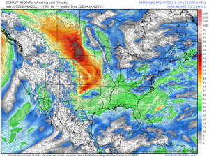
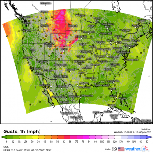
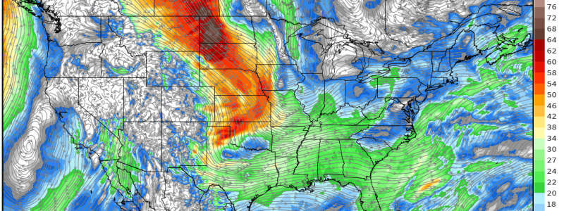
Mixing between the strong 850 mb flow and the surface will bring some of these speedy winds down as damaging gusts. The wind has already been wreaking havoc in Washington, bringing down trees and knocking out power. The flow will strengthen through the day and push into the northern and central Plains.
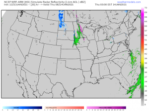
By this evening, we have a roaring low level flow with damaging gusts upwards of 70 mph possible across a large portion of the northern plains. This then perpetuates eastward overnight where during the afternoon tomorrow we introduce the chance for some generally light snow across the high plains…
…specifically over North Dakota. Should the periods of snow line up with the arrival/duration of the high wind event, we could be looking at localized areas of blizzard conditions.
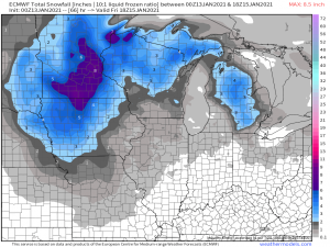
As the low closes off and undergoes frontogenesis, moisture could linger in the Upper Great Lakes (Wisconsin/Minnesota) and bring them extended periods of precipitation which could add up to modest snowfall accumulations.
There is a risk for blizzard conditions, specifically in western Minnesota, late Thursday as snowfall occurs in tandem with the high wind event.
This system will go on to become a mid-latitude cyclone, partially phase with a surface low from the Gulf Coast, and affect the East Coast into the weekend. The extent of those effects is still somewhat uncertain, however, and is the topic for another day’s blog as we still have a few days to go before it’s knocking on our doors. Stay tuned as we keep you up to date on the incoming winter weather!
