Heavy Rains Target the Mid-Atlantic Today
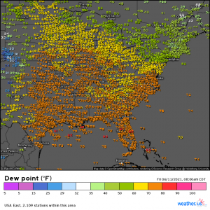
It’s barely 10 am on the east coast and already we are experiencing dew points well into the 70s in the Mid-Atlantic, Mid-West, and points south.
This oppressive “air you can wear” is indicative of the continuing presence of an air mass bearing tropical moisture in place. Over the past week or so, numerous pop-up thunderstorms have brought soaking to flooding rains to the eastern US with the heaviest seen in Arkansas and Mississippi. Today, though heavy rain is still likely in the south, the focus of the likelihood of the heaviest rains will shift to the Mid-Atlantic.
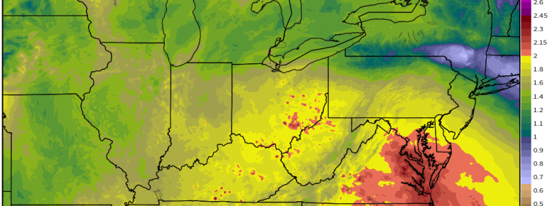
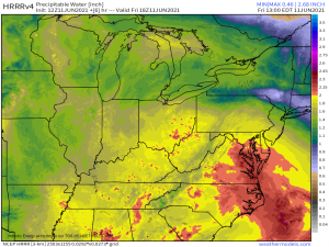
Deep moisture in place and focused over the Mid-Atlantic, specifically North Carolina, Virginia, and Maryland, will allow storms that form in the unstable, humid summer air to tap into that moisture and produce locally heavy rainfall. Without much of a guiding flow, these storms will also be slow-moving, leading to long-lasting heavy rain in a small, specific area – typical behavior for summertime air mass thunderstorms.
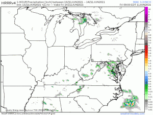
Don’t take the above map too literally as the exact location of pop up thunderstorms is notoriously hard to predict with any accuracy and models tend to struggle with it. However, this is a good illustration of the rainfall potential of the storms that do form. We can see some deeper red values inside a few of these, indicating rainfall rates of potentially 2 inches per hour or greater. Flash flooding is a concern today for this area. These storms will continuously “bubble up” throughout the day with multiple waves of rain likely, possibly in the same areas with training of storms.
If you’re out and about today, use caution in your travels. Think twice before driving over a flooded roadway. Floodwaters can often be deceiving and may be deeper than they appear. Furthermore, the road may very well be washed out underneath and you’d never know until you attempted to drive over it. Remember: it only takes roughly 12 inches of water to float a regular-sized vehicle.


