From Below to Above Average: A December Warm-Up
So, Eastern US dwellers, have we been enjoying the colder weather?
In the last few weeks we’ve experienced cold shot after cold shot bringing us some of the coldest lows yet this season. Personally, I love a frosty morning, but I’m well aware that there are those that hate it. This week’s forecast is for that group.
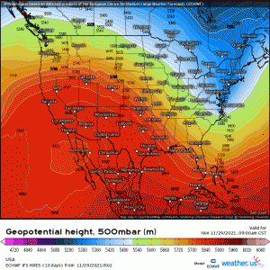
As we move through the week, a ridge out west will begin to build eastward. Troughing remains in place over much of the Northeast and – with the exception of a brief warm up late week – they stay cooler and unsettled with the occasional clipper system moving through. For much of the rest of the country, however, this means a dry, sunny, and much warmer week. You know – plain old boring weather.
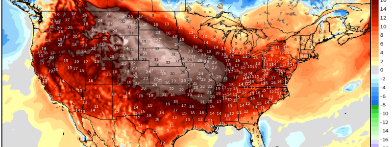
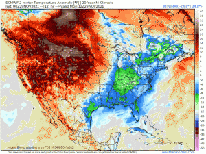
Temperatures 15 to 25 degrees above average will dominate the western half of the US through midweek. That heat then shifts east later in the week bringing temperatures 10 to 20 degrees above average first to the Central US and then to the Eastern US by week’s end.
This translates to highs in the 50s and 60s for some of the Northern Plains states and highs in the 60s and 70s for the south central states and southeastern states. It will be a great week to get those outdoor Christmas lights put up, I guess.
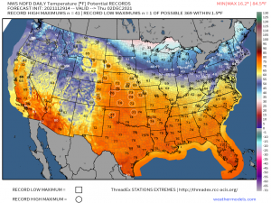
As long as the forecast verifies, we could be looking at the possibility of breaking quite a few record highs by Thursday.
We will retain the possibility of broken maximum temperature records through the week, including today. Thursday, however, seems to have the most potential for a more widespread record-breaking heat.
In the long term: an interesting signal for severe weather is appearing consistently on multiple model runs for both the GFS and ECMWF for parts of the south around Dec 8th. Second severe season is technically underway here, however, it’s been a no-show so far. This signal is interesting and definitely not abnormal, but it is still ~10 days out. We’ll have to see how it develops through the week before we start considering it seriously.


