Friday Severe Update
As a potentially potent round of severe weather gets ready to kick off this afternoon, I thought I’d publish a quick update on what’s expected.
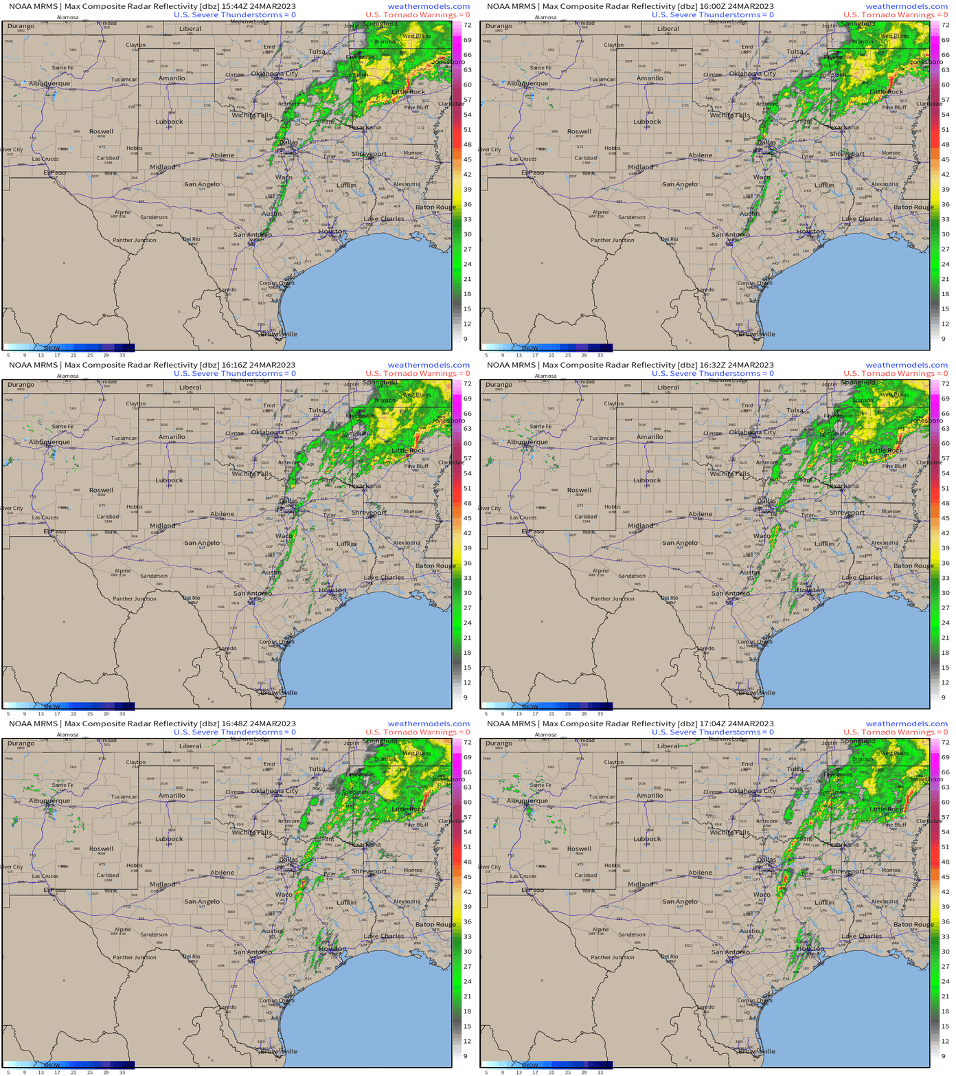
As of roughly 1 pm Eastern, storms are beginning to blossom across Eastern Texas. At this time, they are sub-severe. However, they are not expected to remain that way for much longer.
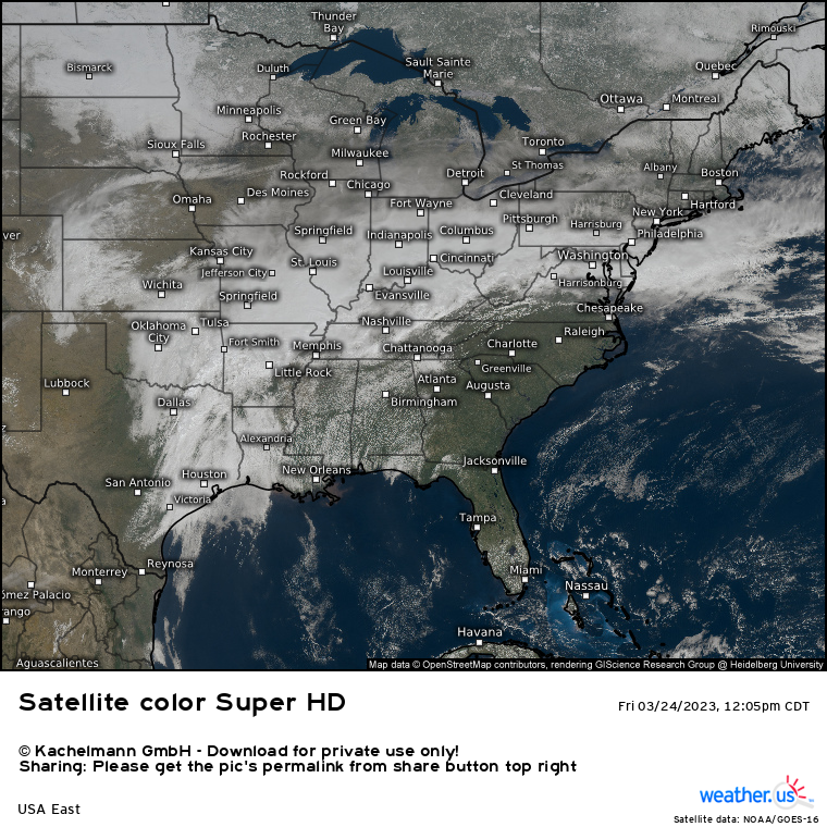
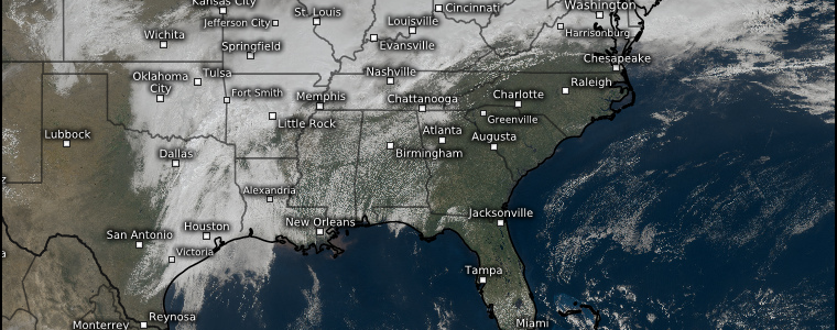
Current satellite imagery shows broken cloud cover over much of the South.
Temperatures are climbing into the 80s while dew points are quickly edging toward the 70s. It’s safe to say that destabilization is well underway. As the newly forming storms move into an environment primed to power strong storms, they will likely quickly become severe.
What kind of hazards are we expecting?
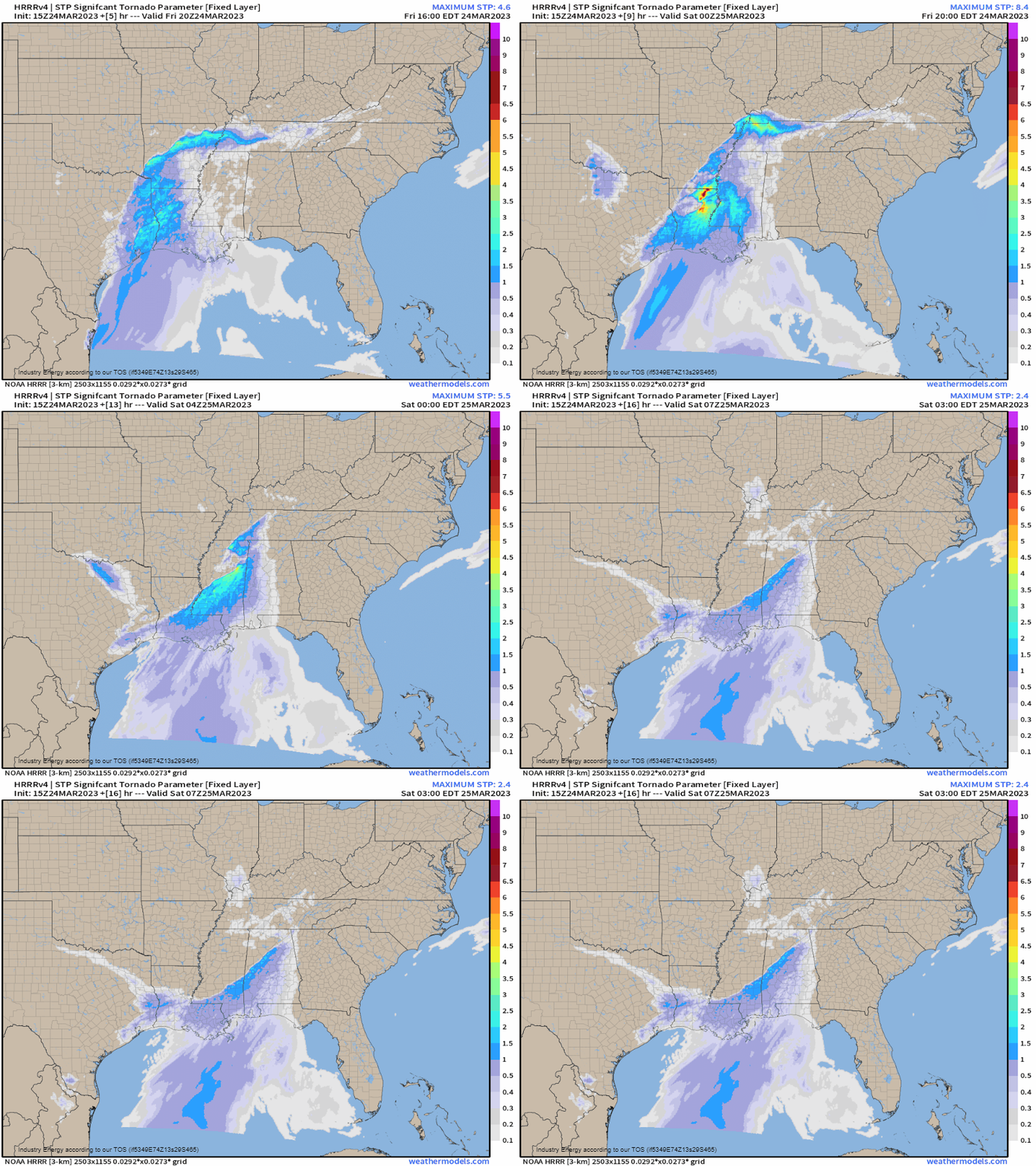
Discrete storms are expected to be able to form in the open warm sector ahead of the cold front. With more than adequate shear available, we are looking at a tornado threat both with the discrete cells and embedded in the line that is expected to materialize later on. Any of these tornadoes have the potential to be strong – especially storms enter the most unstable, highly sheared environment expected to be in place over Louisiana, Arkansas, Western Tennessee and Mississippi.
Additionally, mid-level dry air and strong winds aloft indicate a damaging wind threat as a QLCS (line of storms) becomes the dominant mode.
Some large hail is also possible, especially within the initially-discrete storms.
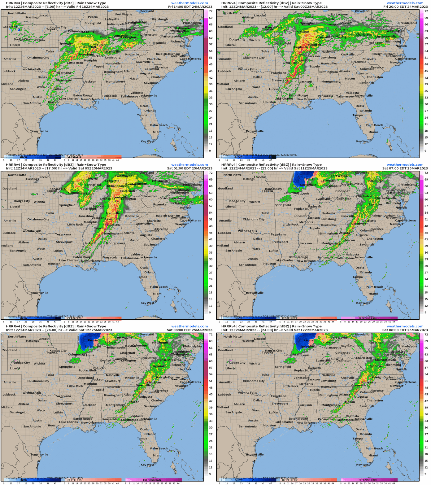
As far as timing goes: the event is expected to really kick off in the next couple of hours. It should be at it’s peak by the late afternoon/into the early evening hours. The threat will diminish some as the sun goes down, but a few tornadoes and damaging winds will still be possible in the overnight hours as the line pushes into middle Tennessee and Alabama. By the early morning hours, it should be winding down with only isolated severe storms possible.
Take Action:
- Have multiple ways to receive warnings, including at least one that will wake you if your area is expecting a nighttime threat.
- Have your safe space ready to go and know your plan to shelter if you should need it.
- If you are traveling home from work or school in the late afternoon/evening hours during an expected active time, know where you can pull off and shelter along your route if the need should arise.
- Warn your family, warn your friends. If you know people under risk for severe weather today, make sure they are aware. Let’s reduce the amount of people caught unaware.


