Forecasting Yaas, a Potentially Damaging Indian Ocean Cyclone
A large area of low pressure in the Northern Indian Ocean, recently upgraded to the delineation of Cyclone Yaas, could end up a significant weather threat to parts of India over the next two days. It seems that it could approach a highly-populated section of the coast near Kolkata, meaning a close meteorological look at the storm seems prudent.
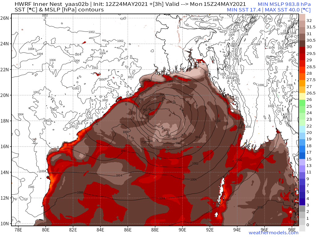
Yaas will evolve amidst a basin with SSTs several degrees above average almost universally, with values well exceeding those known to be supportive of intensification. This is an initial signal that, barring disruptive atmospheric processes, Yaas will probably strengthen to at least a degree over the next several days.
When I say “disruptive atmospheric processes,” I mean any interactions between the broader environmental flow and the cyclone’s circulation that prevent it from most effectively and efficiently utilizing the energy provided by the warm ocean to deepen its central pressure. This most often presents itself as wind shear, which disorganizes the fairly fragile structure that is most conducive to runaway intensification.
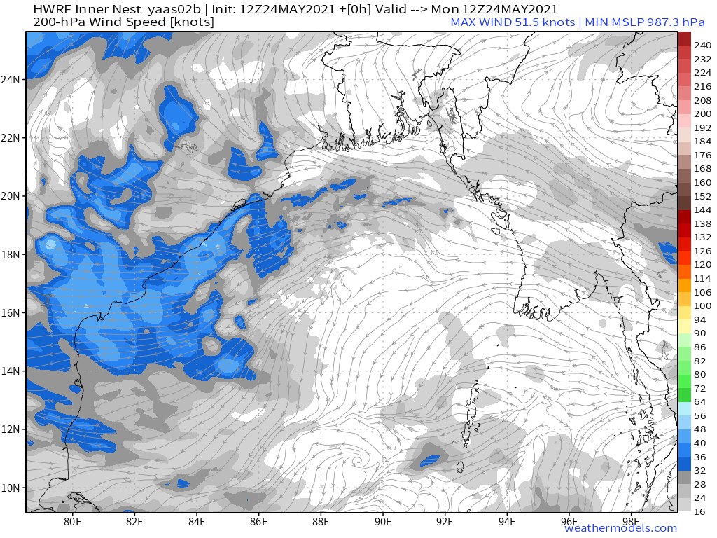
As far as this consideration, it looks like continuing easterly flow high in the atmosphere along the southern periphery of broad ridging centered over Asia has been shearing the developing cyclone, and will continue to, nudging the storm to the west and preventing runaway intensification despite very supportive SSTs.
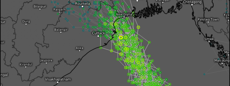
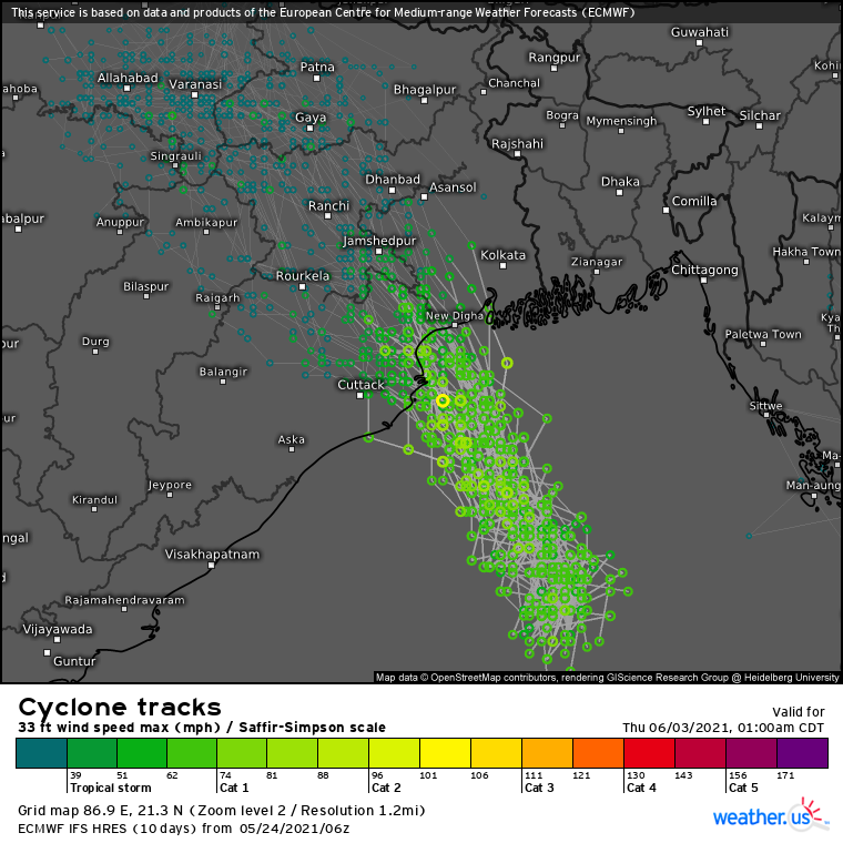
This shear will likely remain easterly to southeasterly for the next couple days, steering the storm towards a landfall somewhere in northeast India, while simultaneously putting a lid on potential intensification.
Forecasting for this storm has been an interesting experience. Yesterday, with easterly shear underestimated by many models, a landfall by a category 2-3 equivalent storm further NE towards the Hooghly river delta seemed possible, which could have well sent a powerful surge up the river and towards parts of the extremely populous Kolkata metro. Luckily, the incorporation of shear into the forecast makes such a potential catastrophe much less likely.
With that being said, it isn’t that the storm is suddenly now a non-issue. Landfall of a large, albeit fairly disorganized, cyclone in a concave-shaped coastline will lead to surge concerns compounded by numerous low-lying population centers in the area. And heavy rain and strong winds will batter parts of a country currently overrun by the world’s worst COVID outbreak, including the 15 million person Kolkata mega-metropolis. But it does look like the worst of a potential disaster will be averted with this storm.


