Flash Flooding Threat as Unusual Pattern Targets Carolinas
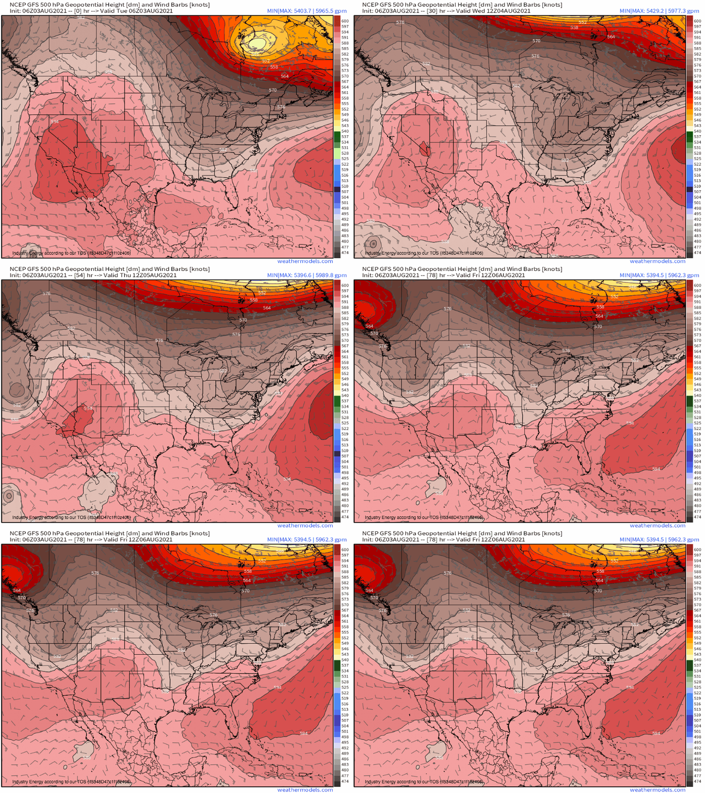
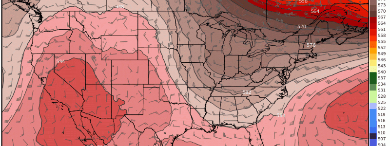
Summertime conditions and Wintertime synoptics often spell trouble, as the jet contorts itself into February arcs amidst the rich moisture and instability of August. Such will be the case this week, as a slow-moving trough more reminiscent of nor’easters than heat waves brings prolific rainfall to the coastal Carolinas.
The set-up will evolve as a building Atlantic ridge and increasingly distant midlevel energy force low heights pooled over the east coast into an increasingly cutoff trough. With an increasingly pronounced blocking regime to east and west, the trough will sit in place until it can finally retreat north into the jet over Canada.
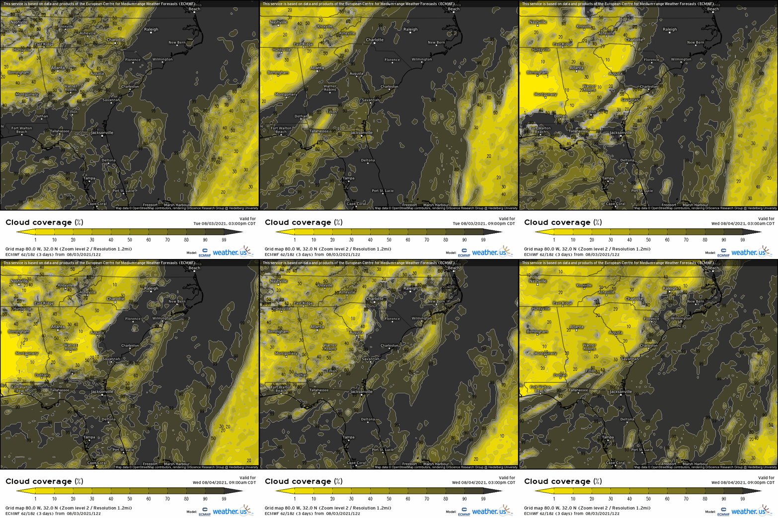
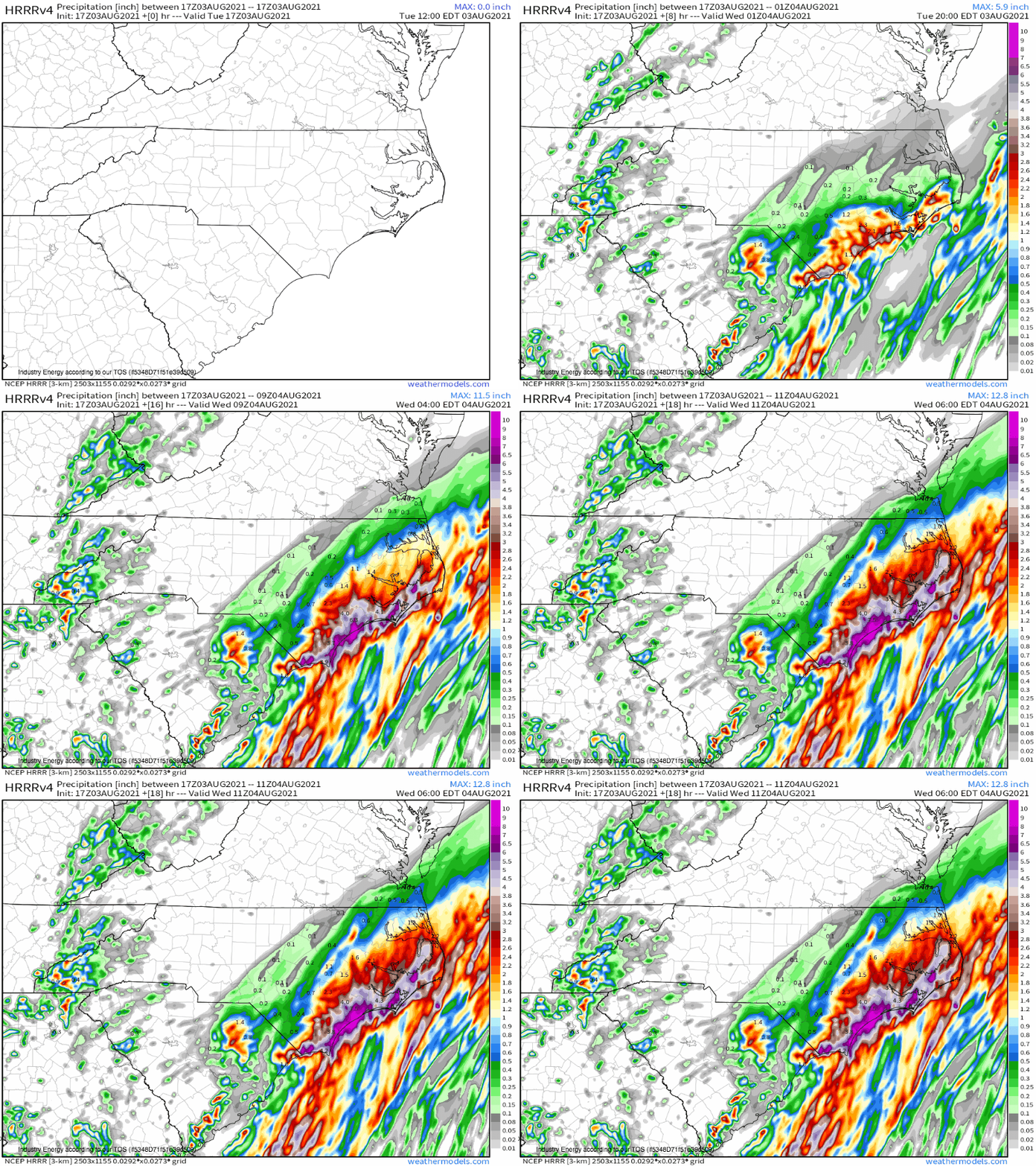
This sluggish midlevel procession will leave a swath of coastline from the Carolinas to Cape Cod quite favorable for the type of twisty, rising air that spawns systems of low pressure. As these lows develop again and again over the same area during the next few days, they will ensure pretty persistent stormy weather over the Southeast, which Meghan wrote about in her blog yesterday. But it’s becoming increasingly apparent that, amidst this widespread regime of heavy rain, a swath of land over the coastal Carolinas could see a particularly serious flash flooding threat. The widespread storminess can be seen in cloud cover modeling, which shows an unseasonably persistent synoptic-scale weather event.
Flash flooding occurs when heavy enough rain falls in a short enough time to overwhelm the drainage at the junction between infrastructural and natural absorption. What sewer systems, soils, and streams all have in common is a tolerance spectrum- all three (and the uncountable factors that influence each) are way more effective at controlling drainage and preventing runoff in certain conditions than others. For sewer systems and streams, drier is generally better- the less water in the system, the more rain can be safely shuttled away before flash flood concerns arise. For soils, some degree of moisture keeps absorption potential high- parched earth is bad at discouraging runoff. However, any degree of soil saturation beyond modest moistening is enough to reduce absorptive capacity, which increasingly encourages flash flooding. So, while drainage is a complicated equation between natural and manmade factors, long-term anomalous rain can uniformly decrease its capacity.
This is how rain can prepare a hydrological system for flash flooding. It doesn’t need to be prolifically heavy or occur in a short amount of time- it just needs to sustain enough pressure on drainage pathways to keep streamflow high, soil saturated, and sewers full. Within this type of regime, imbedded storms with short duration, very heavy rainfall can much more easily produce flash flooding.
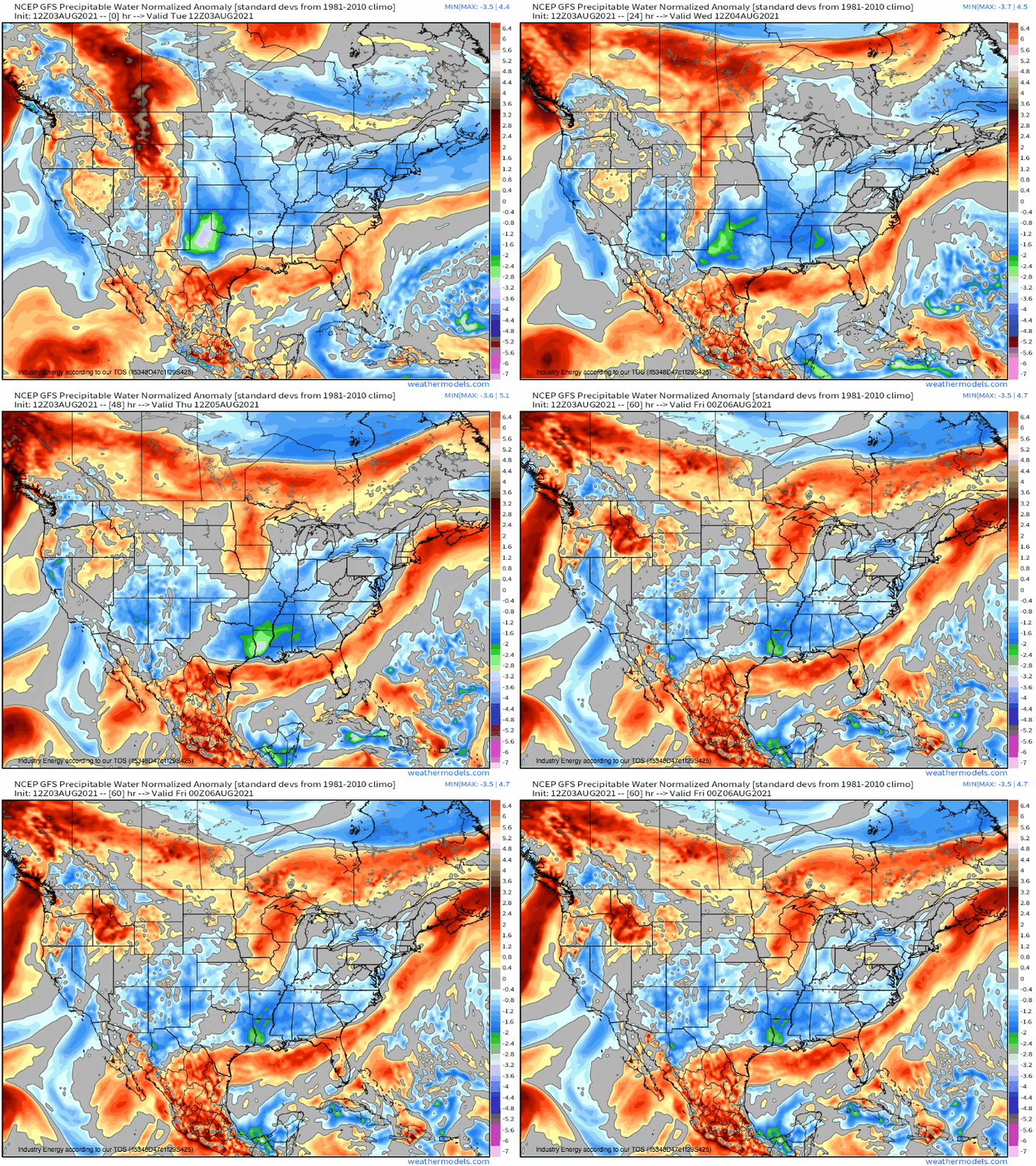
The broad, ‘cool sector’ convergence set to occur over the Carolinas should favor stratiform rain, which has small droplets compared to convective rain. We often think of low-density precipitation when we hear stratiform, which is to say there’s relatively little water in a certain parcel of the atmosphere compared to convective rain. This is because stratiform rain often occurs in low-moisture, cool season events with more knots of 500mb flow than degrees of dewpoint. But this setup will be different, and will feature enough tropical moisture advected from the Gulf to maintain a fairly extreme degree of efficiency even with the sub-optimal precipitation mode. This can be seen in anomalous PWATs, not an easy achievement this time of year in this part of the country.
That’s all to say that, when non-thunderstorm rain falls in the Carolinas over the next few days, it will be heavy. Perhaps it will not along be enough for flash flooding, but it will certainly set the stage by diminishing the ability of the hydrological system to efficiently whisk away moisture through streamflow, absorption, and anthropogenic drainage. Then, when thunderstorms do occur, which seems probable given forcing for ascent in the vicinity of such excessive, near-Gulf moisture, they can cause flash flooding with ease.
Watch out for flash flooding in the coastal Carolinas, folks. This could be a pretty dangerous mixture of heavy, long-duration stratiform rain with widespread imbedded thunderstorms.
