Feeling Hot – Sweltering Temperatures For Much of the US
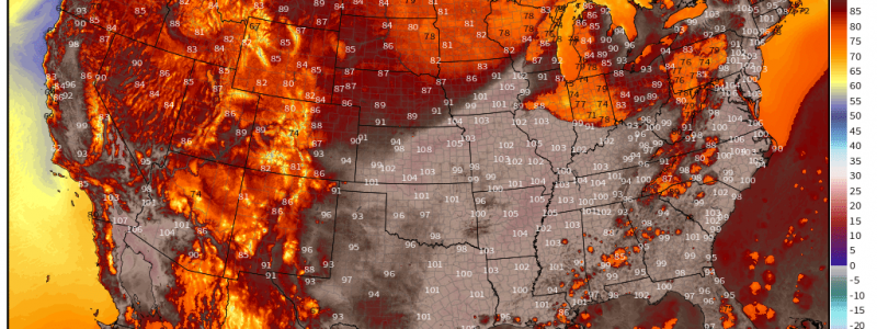
The heat is on once again for both the Northeast and the Northwest.
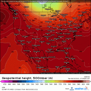
A rather broad ridge with a maxima over each of the aforementioned regions is in place and is resulting in temperatures above normal. Let’s take a look at each region separately.
Eastern US
The eastern US, with it’s proximity to the warm waters of the Gulf, typically experiences dew points much higher than those out west. These dew points can take a hot summer day and turn it downright oppressive. Such heat will be the case in this region over the next few days.
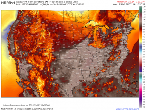
The combination of temperatures soaring into the 90s (an perhaps beyond) and dew points in the 60s and 70s has prompted the issuance of heat advisories for both Wednesday and Thursday and even Excessive Heat Warnings from Philadelphia to New York City.
With dew points in the tropical range, your body’s ability to cool itself will be hindered – higher dew points mean more moisture in the air and less evaporation occurring. So, while you will undoubtedly sweat, the sweat will not be able to evaporate, reducing the amount of cooling received through evaporation. In a heat like this, it is important to remain hydrated and even indoors, if possible, during peak heating hours.
Northwest
The Northwest is no stranger to heat this summer. Multiple heatwaves, including the record-shattering event experienced in late June, have impacted this region lately. And, as we’ve discussed before, these already toasty temperatures have been enhanced by the extreme drought in place over much of the region.
Refresher: A certain amount of energy is allotted for evaporation. When there is no excess moisture available either in the ground or in the air, that energy then goes into heating the air/surface. The result – higher temperatures.
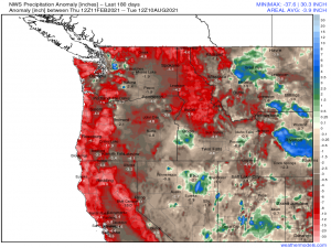
The region in extreme drought isn’t hard to spot in the precipitation analysis below.
Over the last 180 days – roughly from February to the present – some areas have risen into double digit deficits.
Looking at the deficits mapped above, its easy to see why we’ve been seeing such extreme heat – and, to add to it, this building heatwave won’t be so weak.
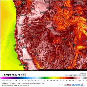
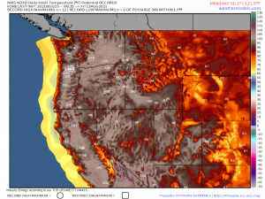
In fact, if it weren’t for the jaw-dropping heat experienced here in late June, this may have set a few all-time records, at least for some cities. Other cities (such as Seattle), unlike the late-June event, will remain cooler this time around with the triple digit heat confined mainly to the valleys.
Now, that’s not to say that records won’t be set. Daily record high maximums have the potential to be broken.
Thursday seems to have the greatest potential for more widespread record temperatures. These will not, however, be enough to threaten the all-time high records, many of which were set a mere month and a half ago.
Still, this is a dangerous heat for those without climate control installed in their homes. Overnight lows in the valley areas will remain in the upper 70s or even into the 80s. Minimums such as these do not allow the body to cool sufficiently and “reset” from the heat of the day. Heat stroke is common in these conditions, especially, as mentioned above, among those without access to climate control for further cooling.
It will be very important to practice heat safety for the next few days – stay hydrated, stay as cool as possible, and check on your family, friends, and neighbors. Especially check on those who are more vulnerable (the elderly or sick). Work together to keep everyone as cool as possible.
A parting thought in case anyone needs something good to dwell on while they sweat: the beginning of meteorological fall is only 21 days away!
