Eyes on the Gulf
Though conditions are currently unfavorable for any substantial development in the Atlantic Basin, we always have to be wary of frontal boundaries that stall over open water.
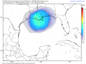
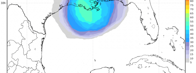
Enter this little area to watch in the Central Gulf.
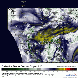
Currently, we have a cold front sagging south. It’s pretty well-defined on water vapor imagery – you can see the clear boundary draped from North Carolina to Alabama before dipping further south along the coast.
This sluggish boundary will, in the short term, provide a focus for rounds of showers and storms for this part of the Southeast. As the tail end of the front dips into the Gulf, however, we could see some tropical mischief attempt to spin up.
Development depends on a few things, though.
- What part of the front attempts to develop. Is it further out in the Gulf? Closer to land? Essentially over land?
- How long, if at all, it can stay over the water.
Attempted development further away from land with more time over water would give us the best shot of seeing either a tropical depression or (maybe) a tropical storm.
Any attempt closer to land with minimal time over water most likely won’t allow enough time for a TC to “spin up.”
We’ve seen a few of these old boundaries try to develop so far this season. With each one, regardless if it was successful at attaining TC status, the major impact was the rainfall.
This potential disturbance won’t be any different. The biggest impact will be the rainfall.
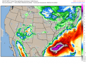
Quite a bit could fall over the next 7 days. Not only from the potential disturbance, but just from storms firing along that sluggish/stalled front.
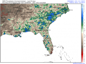
Some of this region needs the rain.
Others, however, do not. Flash flooding will be a possibility – especially where we see storms training along the boundary or persistent, slow-moving storms.
Tropical moisture will be available to tap into and, as we’ve seen a few times this past week, these “little” showers can dump a lot of rain in a little bit of time. Use caution in your daily travels if it is raining heavily. It may not take much to flood certain areas, especially as the week wears on.
I’ll be watching this potential disturbance and will keep you updated on Twitter and here in the blog if necessary as we move into the latter half of the week.
