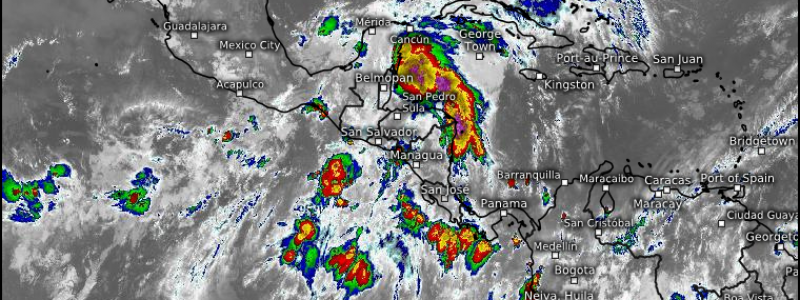
Explaining the Tropics: The Central American Gyre
Today I’m going to do a short explainer on a term you may hear a lot during hurricane season, especially in early and/or late season: The Central American Gyre (CAG).
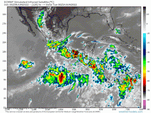
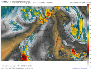
The CAG is a broad area of low pressure along the Intertropical Convergence Zone (ITCZ) that produces showers and thunderstorms daily. A CAG can develop in April, May, or June but is more common in the fall months of October and November.
The CAG can last a few days, or it can persist for a few weeks; it depends a great deal on the overall flow. Converging air is required. Air converging in the low levels has nowhere to go but up, resulting a region of low pressure.
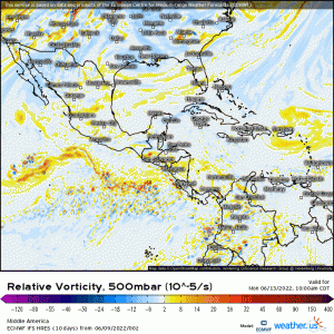
As it is an area of low pressure, it contains areas of vorticity or “spin” within it.
Occasionally, heavy clusters of thunderstorm activity can serve to “organize” an area of vorticity, leading to break off from the gyre. If atmospheric conditions are conducive, tropical development can occur.
Additionally, a tropical wave arriving in an environment like the CAG can also initiate development.
Gyres that set up early in the season (May or June) are often responsible for early-season development. We experienced this as recently as last week’s Tropical Storm Alex.
What eventually became Alex formed as Hurricane Agatha’s remnants entered into the CAG. It mixed with the other activity in the broad low before coalescing and eventually breaking off. Shear and dry air kept it from developing beyond a disturbance initially, but it finally gained that name off of the Southeast coast.
As this is a term you’ll hear often during hurricane season, I felt we needed a brief explainer for those not in the know. Hopefully someone learned something new today!




Thank you. A very enlightening explanation!