Euro vs GFS: A Tale of Two Outcomes
Good Morning!
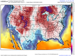
Well, as advertised, it is COLD this morning.
We are seeing temperatures in the 20’s all the way down into the Florida peninsula. Watch out for falling iguanas!
Love it or hate it, the extreme cold won’t last. This morning will be the coldest and it will start to gradually warm through the remainder of the week.
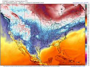
By Friday, we have 70’s back on the board across the Eastern Gulf while the rest of the country remains relatively mild.
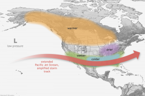
We aren’t going to see any wide-spread warmth any time soon, though. Although we do have a La Nina event occurring in the Eastern Pacific, our pattern will favor El Nino-like conditions for at least the near future.
(Image from NOAA)
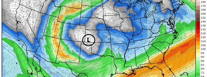
A winter El Nino pattern tends to favor a strong southern jet stream, like the subtropical jet we have been seeing this past week, along with colder, wetter conditions for the south and Atlantic coast. This pattern looks to persist, for now, through the next 7 days at the least.
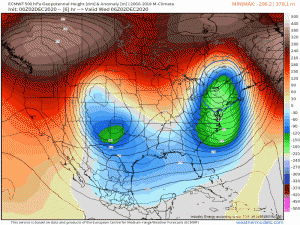
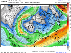
Anomalous heights persist with signals of warmth to the north and cold in the south with systems continuing to move through the southeast and up the Atlantic coast. Though we have one system still moving on out of the far northeast, our next system is cranking up over Texas and Oklahoma. Unlike the previous system though, there is still quite a bit of uncertainty with this new one. We’ll take a look at that today.
Currently, there is an upper level low bringing snow and rain to parts of the southern plains. Over the next few days, this low will track east/northeast and undergo cyclogenesis. This is where the uncertainty comes in.
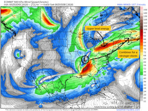
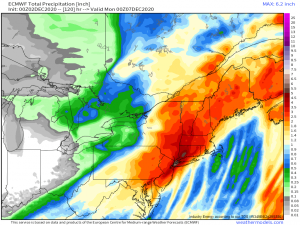
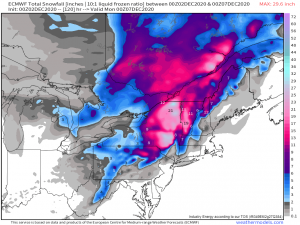
The Euro suggests that the upper level low will exit the Plains and combine with energy coming out of Canada to produce a strong coastal storm. This scenario would likely bring high winds, heavy rain, and heavy snow (on the back side of the low) to the Northeast over the weekend.
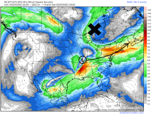
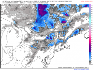
The GFS, however….
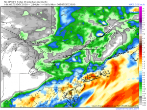
…is not on board with the two areas phasing and produces a much weaker storm. Less wind, moderate rain, and much less snow.
Okay, I’m going to show you a few maps now, for comparison’s sake only, so we can see the difference in the two solutions. Don’t get excited and DON’T take either one as a solid, 100% chance forecast.
Euro solution:
GFS solution:
As you can see from the VAST difference between the two models, the intensity of this incoming system really hinges on whether or not it can get an assist from the energy on it’s way out of Canada. As we are still ~4 to 5 days out from this event, things obviously can and will change.
The southeast will see rain over the next few days as this system really gets going. After that, though an Atlantic coastal storm is a likelihood, the intensity is still very much up in the air. Stay tuned to our Twitter and blogs! We will be keeping you informed as always.
Wishing y’all a wonderful day!
