Early Season Snow Possible in Central Rockies
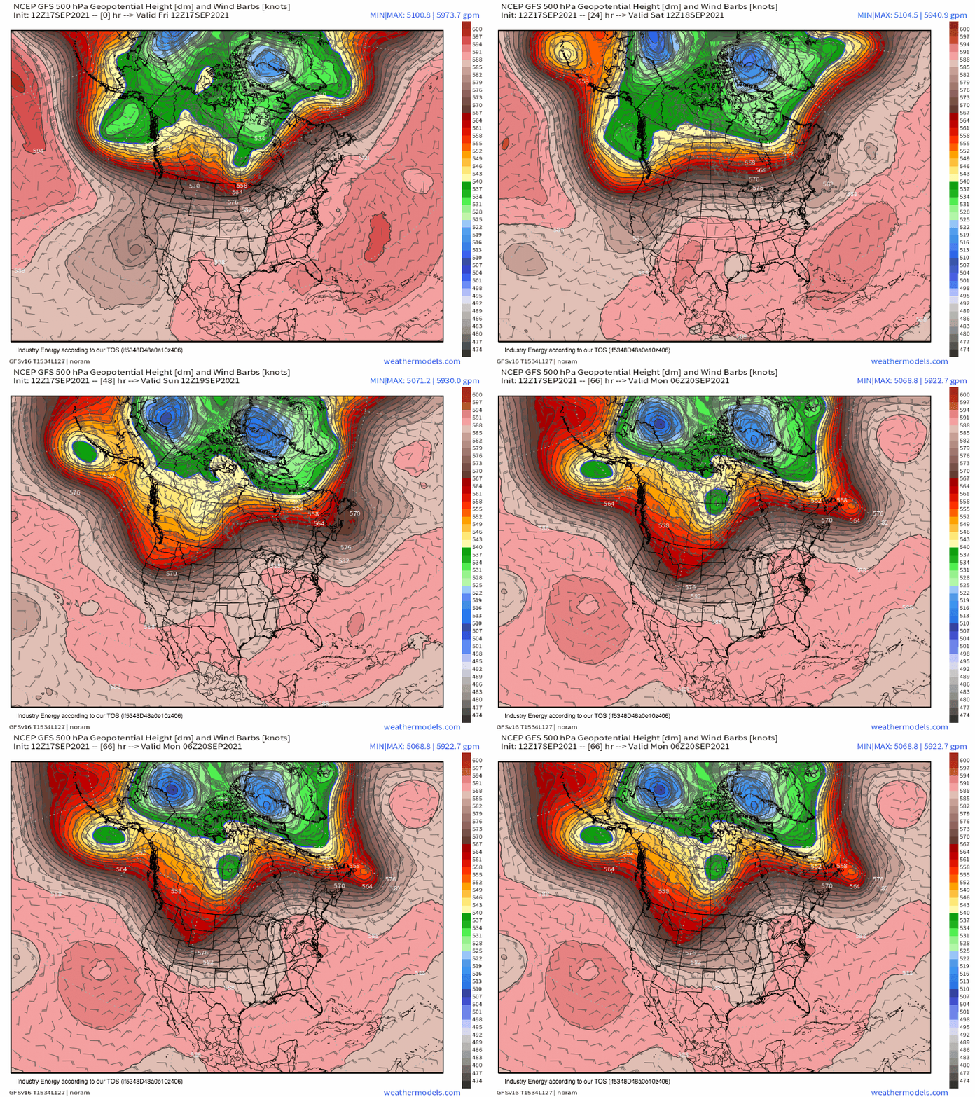
A midlevel trough of unusual intensity stretched across the northeast Pacific is responsible for a significant atmospheric river event across the Pacific Northwest today into tomorrow, as written about by Meghan in her recent blog. As the associated energy shifts across the North American coast, the depression aloft will unravel to a degree while shifting south towards the central Rockies.
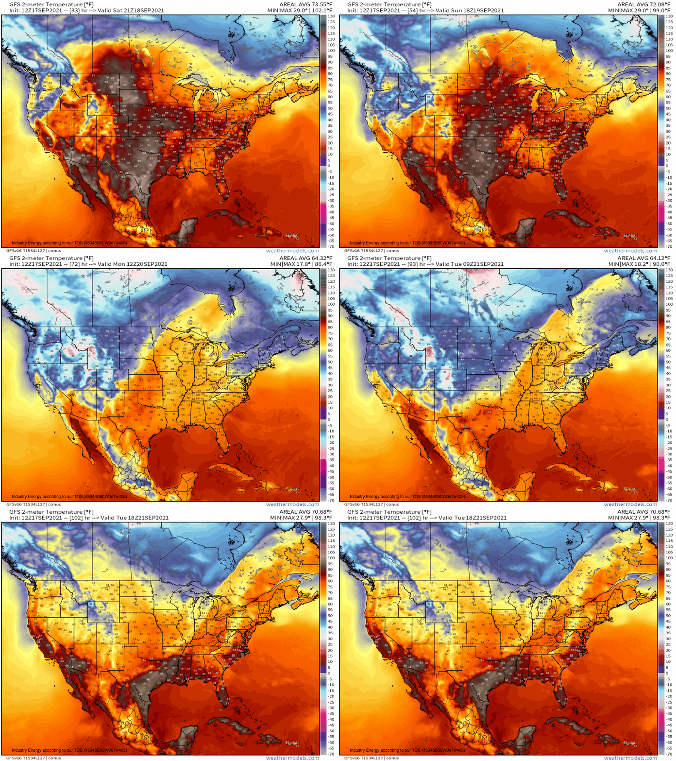
A powerful low-level cyclone responding to divergence ahead of the trough will consolidate over the Rockies into the work week, as polar air aloft spills south and sinks towards the surface. The result will be a (seasonably) frigid airmass in place over parts of the region, with below-freezing temperatures fairly widespread at high altitudes.
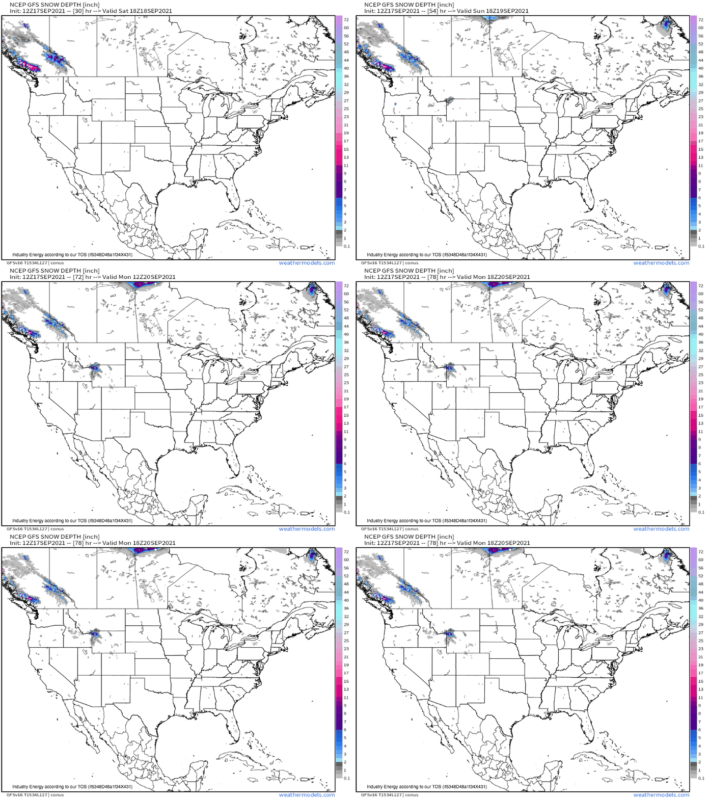
As any remnants of Pacific moisture that weren’t squeezed out by West Coast topography are lifted to condensation by the low-level cyclone, heavy snow could develop where high altitude makes up for September solar angles- the first semi-widespread snow of the season!
While impacts should, frankly, be limited, it’s a meteorological curiosity that nonetheless excites winter lovers like myself. Soon, snow will envelop much more of the country…


