Drier = Hotter
When you picture a summer day in the Southeast, the first thing that may come to mind is the “stickiness” or high moisture content of the air. Ordinarily, hot summer days do indeed involve higher dewpoints here as the wind flows in off of the Gulf of Mexico or Tropical Atlantic.
That’s not the case for parts of the Southeast today.
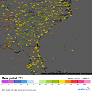
Using the map above, you can see that while dewpoints in the upper 60s and 70s exist, specifically west of the Appalachians, areas east of the mountains seem uncharacteristically dry.
Why is this occurring?
Downsloping!
Downsloping occurs when air is forced to descend from a higher elevation – the peaks of the Appalachians, in this case. As the air descends, it warms and dries out, thus resulting in enhanced high temperatures and lower dewpoints.
Though this effect is generally more pronounced in areas with higher mountains – such as the West Coast – it can and does happen in the Appalachians as well.
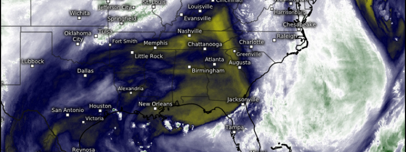
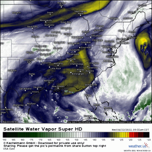
If you’ll refer back to the water vapor loop, you’ll note that the flow around the ridge is allowing air to move in from the NNW. This air is ascending the Appalachians on the west side and then descending on the east side. The Appalachians are oriented from southwest to northeast, allowing them to take decent advantage of this flow and produce some fairly impressive drying downwind.
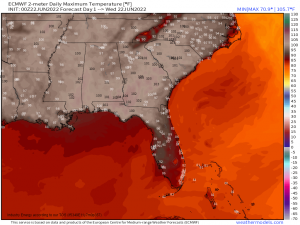
Drier air is easier to heat than moist air, as I’ve mentioned before. Though not particularly pronounced, a regional maximum is noticeable in the areas just downwind of the Appalachians. Drier air could make the difference between high temperatures of just under 100 or just over 100.
Remember, the Appalachians aren’t nearly as tall as the Rockies or the Cascades. Air has a shorter slope to travel down, resulting in less dramatic heating/drying. However, it is still plainly occurring today as the drop in the dewpoints is noticeable via observations.
If you’re in central GA today and you’re a couple degrees hotter than your friends in Central AL, now you know why!
**Special thanks to my classmate, Tim Ealer, who inspired this blog through our forecast discussion today.


