Dangerous Heat Likely Today
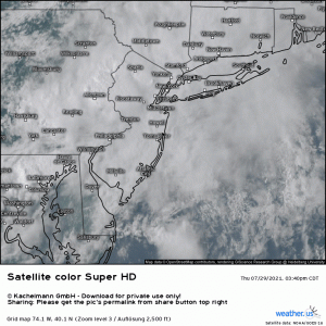
After a couple days of some significant severe weather, we’re back to talking about the heat. But before we do so, I’d just like to share a satellite loop of the complex that produced multiple tornadoes in the southeast Pennsylvania/central New Jersey area last night.
The intensity and persistence we saw with these storms is a rare occurrence in the Mid-Atlantic and lends more to what might be observed on the Plains. NWS Mount Holly will be out surveying the damage and determining the final count and intensity of the tornadoes over the next few days. Regardless of the final numbers, this is likely a day that will go down in Mid-Atlantic weather history.
Back to the topic at hand.
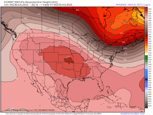
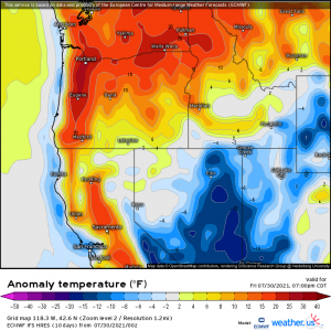
A trough is beginning to dig in over the northeast. As it does so, the strong ridge that has been baking the central US will be booted west. The result? Increasing heat in the Northwest and then Canada and below average temperatures for the eastern US.
Now, don’t get too excited. I’m not talking about the type of cool down that makes you want to break out the hoodies and pumpkin spice lattes. Instead, just a slight reduction in humidity and temps a couple of degrees below average. But hey, after roasting for most of this week, it’s a welcome thought, isn’t it?
But first, as the trough takes awhile to really dig in, there will be a few more days of heat.
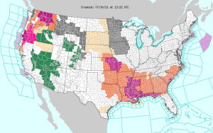
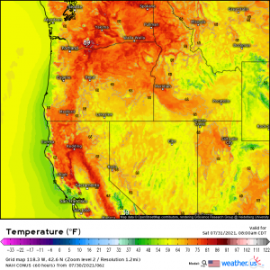
Combine that heat with dew points reminiscent of a tropical locale and you get widespread heat advisories and excessive heat warnings posted by the NWS as we see in the map above. Also notice the heat advisories and warnings posted for the Northwest as they too will see temperatures much above average today as the “heat dome” begins to slide north and west. More on that later.
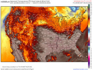
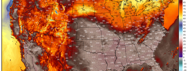
In regards to the heat + humidity combo, widespread highs in the 90s combined with dewpoints in the mid-to-high 70s will result in a simply oppressive heat later this afternoon.
“Feels like” temperatures will be sent soaring into the triple digits, making it very hard to find much relief outdoors today. Honestly, even your pool isn’t going to cut it. This is an excellent day to remain inside with your shades closed, not much activity, and drinking lots of water. Saturday and Sunday look to be similar so, you know, maybe just make a weekend of it.
As to the Northwest/California…
Temperatures will climb well above normal today, especially in the valley areas. Downsloping winds, which warm and dry the air as it descends, will add to the heat already building. Temperatures in said valleys could very well surpass the 100 degree mark during peak heating. In addition, there will be very little relief overnight as lows are expected to remain in 80s, or even the 90s.
The daytime heat and lack of cooling at night will persist at least into Sunday. Have ways to keep yourself and your family cool.
Remember to practice heat safety this weekend. Stay indoors if possible during peak heating hours. Check on the more vulnerable members of your community. Make sure they, and you, are staying hydrated.
