Dangerous Flooding Ongoing in Southern Texas
As a named system, Elsa has been getting the lion’s share of attention this week as it made landfall in the Big Bend of Florida yesterday and continues to crawl northeast through the mid-Atlantic this morning. There is, however, a rather serious flooding event unfolding in another part of the Gulf.
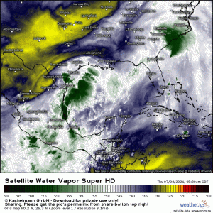
An unnamed low bearing tropical moisture with very little upper-level steering flow to influence it has been sitting over the Texas Gulf coast. This firehose of moisture has brought training storms with extremely heavy rain and seems to have no intention of moving any time soon. In fact, it is expected to remain in place with rain continuing through Friday.
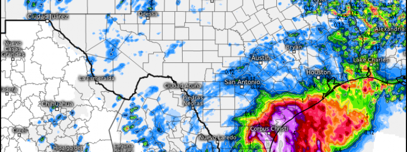
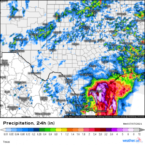
In the last 24 hours, a decent portion of the southern Texas Gulf coast has received anywhere from 3 to 8+ inches of rain, prompting flash flood warnings and even flash flood emergencies as waters quickly rose to dangerous levels in the streets and in neighborhoods.
Unfortunately, as mentioned, it’s not over yet. A quick look at radar will show rain falling right now with much more just offshore.
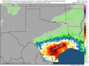
The NWS model suggests, with most other models in agreement, another 2 to 6 inches possible in this area through Friday. More heavy rain will only exacerbate the flooding ongoing in this oversaturated region.
Here’s where I remind you to “turn around, don’t drown.” Be mindful that, not only do you not know if the road is washed out underneath floodwaters, but you may not know how deep it truly is either. Remember that it only takes 12 inches of water to float a regular-sized car. Also, if your neighborhood is prone to flooding and vulnerable, have a plan to deal with any sudden influx of water, including removing yourself and any pets from harm’s way.


