Cyclone Mekunu nearing landfall in Oman
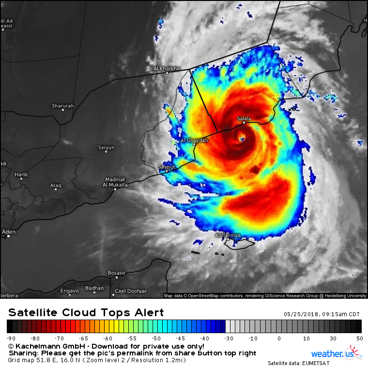
Update: bad news for the coastal city of Salalah, Oman as Cyclone Mekunu is intensifying prior to landfall, now Category 3 equivalent at 100-knots (12Z). The eye has cleared and convection around it has deepened.
Satellite Loop: (Link)
Over the past several days, we’ve been watching the development and track of Cyclone Mekunu (85-90 knots Category 2 equivalent) off the coast of Yemen/Oman on the Arabian Peninsula. Cyclones or hurricanes in this part of the world occur during the pre-monsoon months of May and June & again in October, but may occur as embedded systems within the monsoon itself. Earlier in the week, we had a tropical cyclone in the Gulf of Aden bringing odd weather all the way to Djibouti.

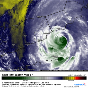
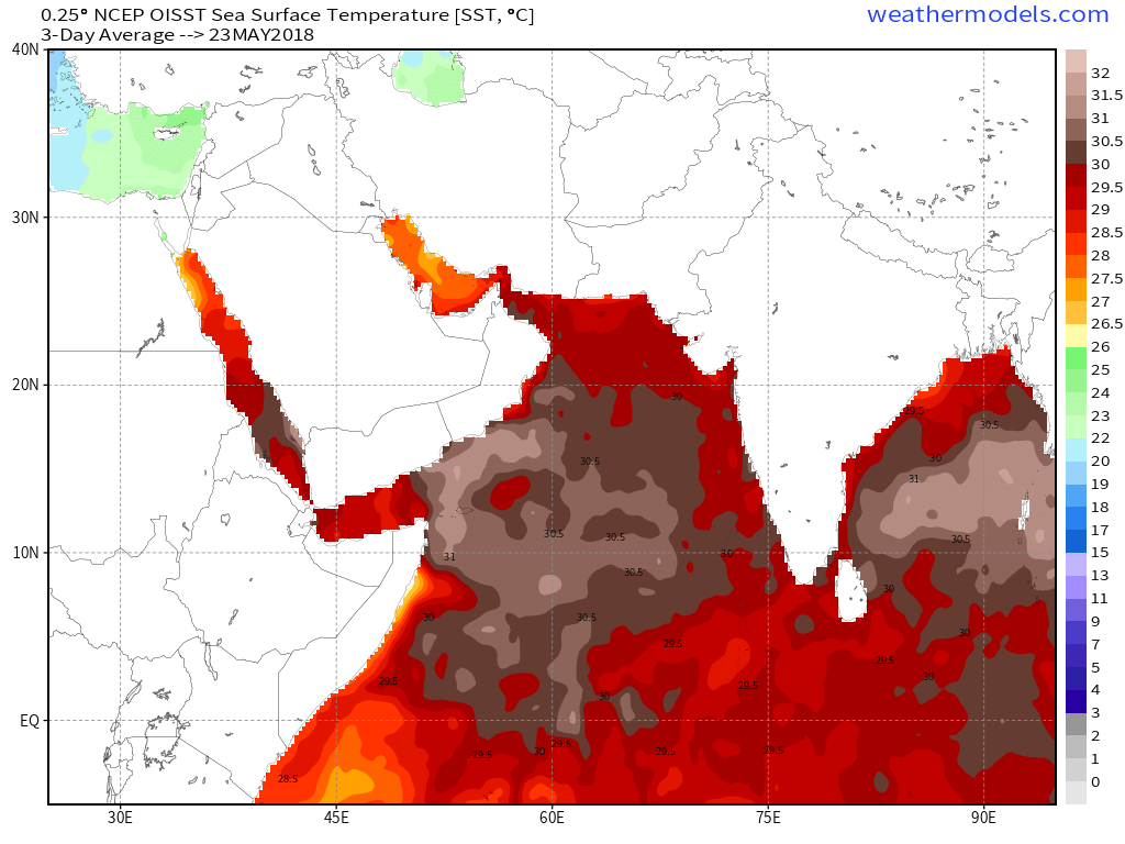
Here is a water vapor image as Mekunu approaches the coastline early Friday morning. The central core of the cyclone has been battling environmental dry air but has sustained deep convection or thunderstorms over very warm Sea surface temperatures (SST). Indeed, the ocean waters here are some of the warmest in the world right now over 30° C.
You can view satellite imagery on weather.us: (3-hour loops)
Water vapor and Visible and Color Infrared
Expect impacts include very gusty winds above hurricane force and heavy, flooding rainfall for areas that typically receive little precipitation during the year. The region is known for its dust storms not tropical storms.
On our weathermodels.com site, we have many tools available to view the progress of Cyclone Mekunu and other global weather events. The best model historically is the ECMWF or European model and its ensemble system.
We provide the “spghetti” tracks from the ECMWF EPS (ensemble system) for Mekunu. There are also many other products that are useful on the Weathermodels “Lab” site including EPS Cyclones (Link) preview for the next few days until Hurricane Season starts on June 1st in the North Atlantic.
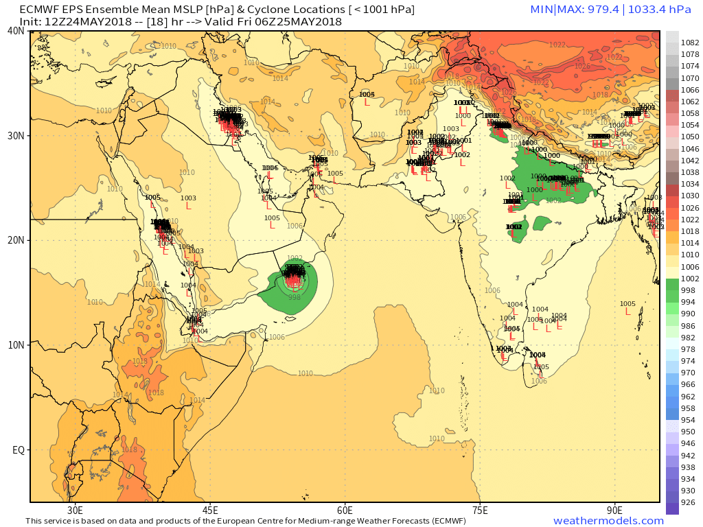
This ECMWF EPS map highlights cyclone locations including Mekunu. The storm tracker unfortunately picks up “heat lows” as well over the deserts of the Middle East and India which tend to follow the diurnal or day/night cycle.
You can view global SST pages here.


The Cyclone Mekunu made a landfall in Dhofar.
Our thoughts and prayers are for all those in the vicinity of the Cyclone Mekunu.
The elaborate arrangements by the government agencies are very impressive.
With warm regards + best wishes
Sameen Ahmed KHAN
Assistant Professor
Department of Mathematics and Sciences
College of Arts and Applied Sciences (CAAS)
Dhofar University
Post Box No. 2509
Postal Code: 211
Salalah
Sultanate of OMAN http://www.du.edu.om/
http://SameenAhmedKhan.webs.com/
http://scholar.google.com/citations?user=hZvL5eYAAAAJ
https://www.researchgate.net/profile/Sameen_Ahmed_Khan
http://www.scopus.com/authid/detail.url?authorId=8452157800
https://publons.com/author/504341/