Cooler, Drier, Wetter, Hotter: A Look at the Upcoming Pattern Flip
Are you over the air-you-can-wear? Tired of sweating while sitting still? Well, have I got an atmospheric process for you! The first big “summer cold front” is on the way.
Actually, to be more specific, it’s more like two cold fronts.
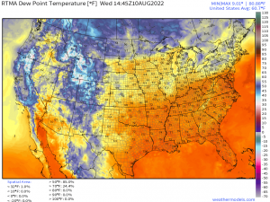
One is currently draped over the Mid-West. You can identify it where dew points in the 70s stop sharply and become dew points in the 60s or even 50s.
The second is surging out of Canada. This one can be identified by the line where dew points change sharply from the 60s to the 50s and even 40s. Much drier continental air is on the way!
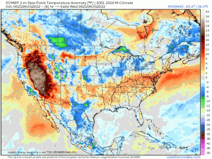
If you watch the eastern half of the US carefully, you can see the first front followed by the second front quite clearly in the Dew Point Anomaly map. The first front knocks the humidity back a bit before the second front pulls in the drier continental air.
The result?
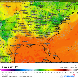
By Friday morning, many of us are not sweating while sitting still as dew points dip into the 50s or even 40s if you’re a few thousand feet above sea level. But let me be clear on this: this isn’t a late-fall type front where it moves through and the temperature drops 20 to 30 degrees. Sure, temperatures will drop a bit, but the most sensible change we’ll feel is the switch from humid to comfortable.
Unfortunately, this front will not push all the way to the Gulf Coast, so tropical humidity will remain in place there. Sorry, folks. It will, however facilitate prolonged unsettled weather here, but we’ll get to that in a minute.
So, obviously drier air is great for those receiving it. But what about the adverse affects of this change on other parts of the nation?
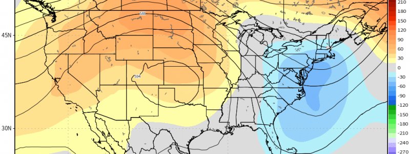
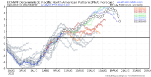
The Pacific North America Pattern (PNA) is a good place to look. If you don’t recall my blog on teleconnections, give it a review to familiarize yourself.
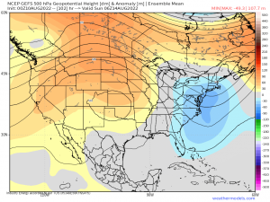
The PNA is a good teleconnection to use to diagnose the placement of the trough-ridge pattern for the US. When in the positive phase, ridging is present over the Western US, generally leading to above average temperatures. Conversely, troughing is present over the Eastern US, generally leading to below average temperatures.
So then, while the eastern US is cooling off a bit, it stands to reason that the west will be baking under a ridge.
Which, after a few days of moving into place, is exactly what we see on the ensembles and deterministic models.
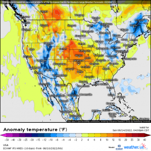
What does that look like as far as temperatures go?
Well, for those not under the trough and not under the influence of the Southwest Monsoon, it looks like an extended period of above-average temperatures. Yes, summer burns on.
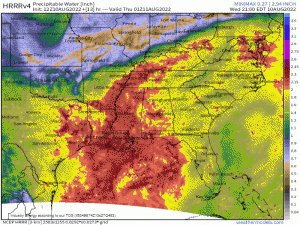
Additionally, these incoming fronts have the potential to cause more flooding issues for the waterlogged Central Appalachian region and, later, the Gulf Coast.
Deep moisture flowing northward will pool along the slowly southward-moving frontal boundary. As showers and storms propagate along this boundary, training may occur. As this region is already saturated, it won’t take much for flash flooding to materialize.
In fact, we currently have a slowly moving mass of showers and storms along the Alabama/Tennessee border that is reported to be causing some flooding.
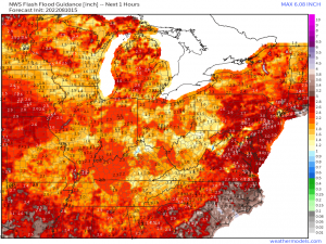
As mentioned, FFG values are low. For those who don’t know, this is the amount of rainfall it would take in one hour’s time to overwhelm the ground’s ability to absorb it and result in flash flooding. I said it above: it won’t take much for many locales.
Eventually, though, the fronts will push through… only to stall near the Gulf Coast.
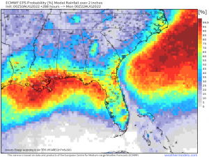
The stalled front will provide a boundary and focus for storms to fire against repeatedly, leading to a very soggy weekend ahead for the Gulf Coast. Totals in excess of 2 inches are most likely nearer to the actual coast, as depicted by the probabilities above.
So, to summarize all that:
Expect it to become drier and slightly cooler in some of the East. It’ll be rather soggy initially in the southeast, then become more focused along the Gulf Coast through the weekend. As for the Western US, ridging builds in and temperatures will climb in regions where monsoonal moisture is out of reach.


WELL WRITTEN POST, UNDERSTANDABLE LANGUAGE!