Cold Rain to Colder Mornings
Earlier this week there was plenty of chatter about the models hinting at a strong (winter) storm impacting the Northeast during the busy Thanksgiving travel period. I mentioned the possibility in Monday’s blog and also on my personal Twitter account – but also mentioned that every moving part would have to align perfectly for it to occur.
Well, that rarely happens in the weather world. Blockbuster storms, while not extremely rare, occur rather infrequently – and this WON’T be one of them.
While it looked promising on both the Euro and GFS, along with the ensembles earlier this week, they have since gotten their acts together and the result is… rather underwhelming.
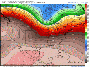
While we still have a fairly significant dip in the jet stream which will allow that Arctic air to flow south, the shape of the trough has changed – and that’s important. Instead of a “bowling ball” of cold air descending, we now have an elongated trough.
That bowling ball would have indicated a stronger storm. One that was able to really wrap the precip around the backside to allow for the wintry weather many were anticipating.
This elongated trough, not so much.
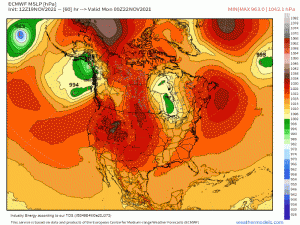
With our primary dynamic support (low pressure) staying in Canada, this will present as a frontal system. Once the energy passes into the Atlantic, several secondary lows then form. Each then vying for dominance before one emerges victorious and the strong “bowling ball” low some had been hoping for forms, just well out to sea. Bummer.
So what does this translate to as far as precip type goes?
Winter weather lovers, look away for a minute. You’re not going to want to read this.
Rain.
Yep, just rain for most.
The greatest snow chances exist, like they do for most winter fronts, near the lakes and elevations of the interior Northeast. The northwesterly flow on the back side of the system will kick off a round of lake effect snow. Most models currently indicate, at best, a few inches accumulation. A major travel impactor this will not be.
The bigger story will be the cold. The Arctic air dipping south will provide some of the coldest temperatures so far this season for many.
Models generally agree that by Monday morning, that 32 degree line will extend as far south as Birmingham and Atlanta. This is an adjustment from predictions earlier in the week when models had the freezing line extending all the way to a few miles shy of the immediate Gulf Coast. That’s yet another indication that there have been some serious changes from previous model runs.
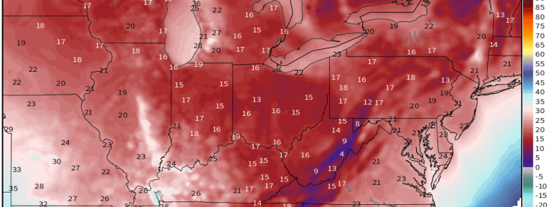
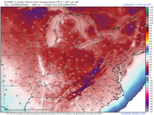
To add to the frigid morning lows, winds will be gusty on the back side of the system. Brutal wind chills could be an issue.
Widespread wind chills in the teens seem likely throughout the upper Eastern US by Tuesday morning. It’s worth noting, though, that the chilliness of both the low temperatures and the wind chills have trended up – or become warmer – over the last few model runs. The southern extent of the cold has retreated some as well. It hasn’t been dramatic, but it’s something worth watching in subsequent runs leading up to the event. The less that trough digs, the warmer the more southern locations will trend.
At any rate, enjoy the cold rain and colder mornings. Maybe something interesting will materialize in the next few weeks.


