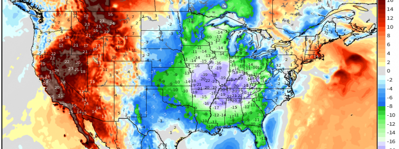
Chilly Weekend Ahead
Maybe it’s just me but I’m starting to feel that since Winter got a later-than-usual start, it is purposely barging frequently into Spring solely to punish us.
Logically and historically, cold blasts are common for Spring as we transition from the cold to warm season. These cold snaps occur as the jet stream fluctuates between dipping south and lifting back north before completely migrating north for the summer.
I’m just saying, it kind of feels intentional.
Anyway, it’s time once again for the Eastern US’s weekly post-severe-weather cool down.
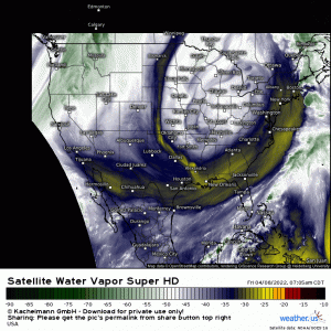
We’ve been under the influence of a rather large, bowling ball-esque upper low for a few days now.
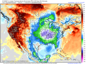
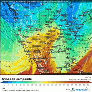
The last bit of warm air present over the far southeast and extreme coastal northeast will soon be pushed away by the cold air wrapping around the back side of the low.
Consequently, many of us will be significantly colder today (and tomorrow) as this air settles in.
As if the cold air isn’t enough, the last bits of moisture near the center of the upper-level low will facilitate cold rain showers or perhaps even accumulating snow, depending on where you reside.
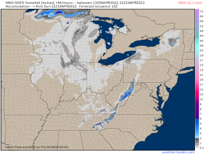
It’s not a blockbuster storm by any means, but by the latter half of the weekend, many of us could see a few novelty flakes while others, enhanced by elevation or lake-effect snow, could see a few inches.
The big winners here will obviously be the south and central Appalachians. Naturally colder conditions due to elevation and upslope flow acting to squeeze out any excess moisture over the tops of those mountains will lend to bigger totals. From the Smokies of East Tennessee to the Blue Ridge of Western North Carolina to the Allegheny Mountains of West Virginia, elevations above 3000 ft or so have the potential for at least an inch or two while totals in excess of 6 inches will be possible for the highest peaks.
In addition, 1-3 inches are possible via lake effect snow downwind of the Great Lakes. Larger totals could be possible where enhanced by elevation – such as in northeastern New York.
There is good news about our cold snap: it won’t linger.
By Monday, we’ll be back to our regularly scheduled multi-day severe threat. Details on this threat are still a bit fuzzy; we’ll discuss them in Monday morning’s blog.
But is this our last cold snap? Don’t get your hopes up.
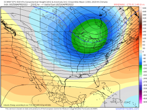
Ensemble modeling continues to suggest rather significant troughing materializing once again next weekend. Like I said, it feels intentional.
But for now: grab a book, a hot coffee, and a blanket and plan to hibernate for the weekend. I know I will be.


Fyi…Richmond Va.
Awesome weather information. The analysis and comments really work for me. Thanks for making sense of the goings on.