Blustery, Chilly Night Ahead for the Northeast
The northernmost low attached to yesterday’s creeping cold front is making its presence known today across the Northeast, Mid-Atlantic, and even into the southern Appalachians.
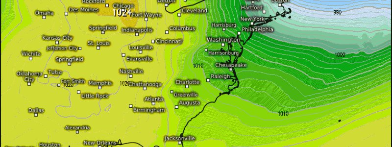
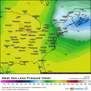
The low, which has deepened considerably since this time yesterday, will strengthen a bit further as it continues spinning away from the US. Add this to a strong area of high pressure building into the Midwest and we have quite the pressure gradient between the two, causing today’s unrelenting winds.
These winds can and have been gusting to or even over 60 mph and causing quite a bit of damage along the way. This is more than a nuisance find-your-trash-can-in-the-neighbors-yard sort of wind. We’ve seen reports of trees down, branches falling on cars, and power poles/wires down leading to power outages.
Take this wind seriously. It can do/has already done decent damage. If you don’t have to travel, don’t. Treat this as you would a severe thunderstorm warning: stay inside and away from windows. Broken branches or other small debris can become dangerous projectiles in a higher gust.
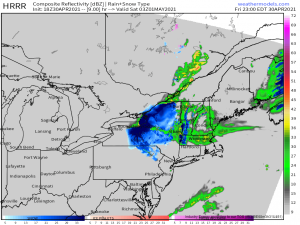
Unfortunately, this wind is a northwesterly wind, which, at least for this part of the country, means that it’s bringing an unseasonable chill along with it. Temperatures, especially in the interior northeast, are set to fall below freezing. Lake effect snow and snow in the elevations of interior New England are real possibilities overnight.
However, the main story is still the wind, which is expected to continue through the night and then gradually lessen throughout the day tomorrow. Cold temperatures and a howling wind leads to concerns about the wind chill.
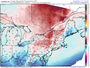
By sunrise tomorrow morning, widespread wind chills in the teens and 20s could be felt, more so in the elevations than the valleys. Is this ridiculously cold? Well, no, but when temperatures were just in the 70s and even 80s not two days ago, it’s not going to be pleasant. If you must be out and about in the morning, dig those winter coats, hats, and gloves back out and make sure your skin is protected if you’re outdoors longer than a minute or two.
Fortunately, by the afternoon the winds will abate and temperatures, with the exception of the elevations, begin to rebound. It’s possible that the southern and coastal reaches of this region could be back in the low 60s while the more interior/northern reaches see 50s. Stay warm til then!


