Below Average Temperatures Continue to Plague the South
It’s another soggy day for the south as waves of rain and storms continue to roll along/near a stationary front draped just north of the Gulf of Mexico.
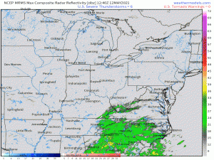
Direct your attention, if you would, to far northeastern Tennessee/southwest Virginia. Did you spot it? Yes, that is SNOW (and/or sleet) showing up on the radar over the mountains. In mid-May! Which brings me to the topic of today’s blog: It’s cold!
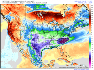
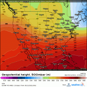
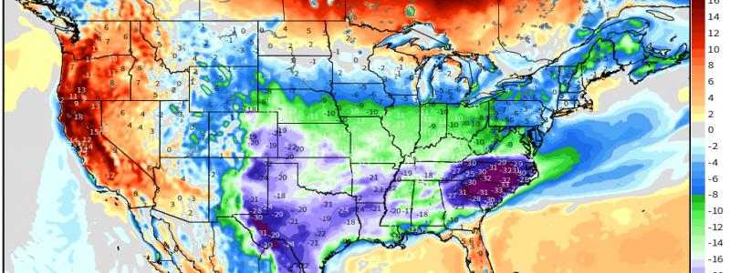
A dip in the jet stream is allowing cold air from up north to bleed southward. We are seeing widespread temperature anomalies of 10 to 15 degrees below average with concentrated pockets in Texas and the Mid-Atlantic of up to 30 degrees below average!
In my 8 years living in the south, this feels like easily the most consistently chilly spring I’ve experienced and, not going to lie, I hate it. Actually, let’s take a look at how far below average we’ve been lately.
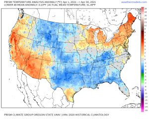
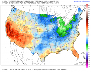
The first map is April 2021’s average temperature anomalies. A large part of the south, and the center of the country as well, for that matter, observed temperatures below average. It wasn’t anything crazy, just slightly cooler than normal. But then look at May so far, or up to May 11th at least. Deeper blues in the mid-south and even the addition of greens (colder) to the Mid-west and Northeast. I’d expect more deep blues and greens to show up on that map after this weekend as the latest cold snap sticks around for a day or two, further pulling our average temperature down. So, yes, for the Mid-south/Plains, it’s been a consistently chilly spring with no real, lasting, above average anomalies to balance out the cold.
Fortunately, as we approach the end of the weekend, we transition from trough to building ridge and will once again warm up. For now, guidance suggests that by this time next week, areas that are below average today will be edging back into the above average category.
For now, however, it’s a great day for a nap. Go take advantage of it, if you can!
