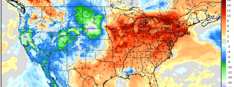
Back to Above Average This Week
We’ve been tweeting and blogging a lot about the upcoming active period kicking off today for the West Coast. And with good reason too – it’s a big deal!
We’ve seen a record-shattering summer of antecedent drought conditions which exacerbated temperatures experience during multiple heat waves, which further enhanced drought, which lead to so, so many fires …they’ve had a lot on their plate. But finally, finally, the northern branch of the jet stream will deliver a conga line of troughs that will steer a firehose of moisture via multiple atmospheric rivers into the western US. You can read about that pattern here via Jacob’s blog from yesterday.
But weather doesn’t just happen in one area of the world. Yes, these troughs will be digging in to the west coast, but what happens there affects what happens downstream as well. So, what does this mean for the other half of the country? Well, if you’re a fan of fall, it’s nothing you’re going to want to hear.
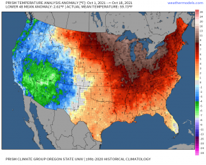
It’s no secret that fall, so far, as been well above average for the Eastern US.
Living here in the southeast, I’m pretty sure I’ve sent my kid to school in long pants all of one time this school year since their early August start date. While a warmer fall is to be expected considering our latitude, we normally get a few shots of cold air here and there. They’ve been astonishingly hard to find this year.
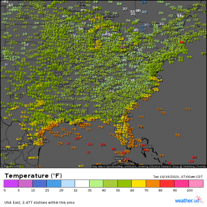
Fast forward to today. We woke up to these morning lows:
Refreshing, isn’t it.
But the question on everyone’s mind is: will it stick this time?
Short answer: no.
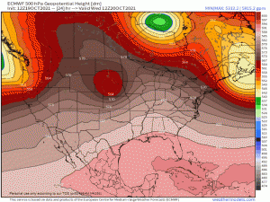
The wave train will be rolling but with the northern branch of the jet stream still locked up fairly far north, with the exception of the occasional dip bringing in a front, a decent portion of the Eastern US remains either in zonal flow as the troughs escape north or under a building ridge.
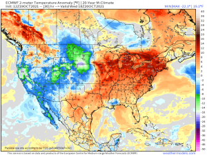
Yes, this means the return of some humidity, though thankfully not on par with what we experienced in the beginning half of the month, and above average temperatures.
Yay…
Now, it won’t all be above average. Occasionally, a front will roll through, briefly knocking back temperatures and humidity. Unfortunately, there’s nothing like what we have been experiencing the past few days in sight, though – at least over the next week.
The troughs that do manage to roll through to the Eastern US instead of heading north could bring some spicy weather with them, particularly next week. Something to keep in mind as we move forward, especially if it doesn’t trend down, but no solid details yet.
For now, soak up that last little bit of truly chilly air before warmth returns.
