As Nor’easter Winds Down, Snow Threat Continues for Maine; Finger Lakes
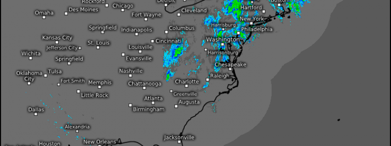
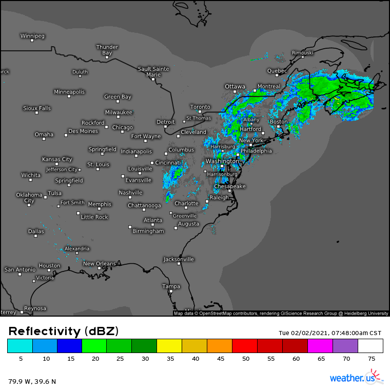
The brunt of the long-duration nor’easter, and of our articles about said nor’easter, has largely passed. An increasingly diffuse band of midlevel forcing fawning out from the cyclone is interacting with still ample moisture advection to send a band of snow careening through the interior northeast, stretching from Binghamton to Caribou. More scattered snow and sleet showers continue in the band’s wake, inching up the incredible snowpack over parts of the interior northeast.
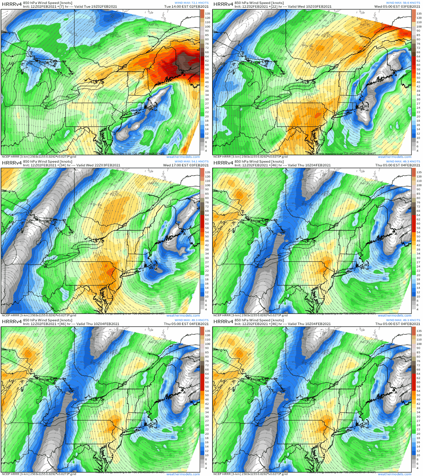
The snow band over northern New England, working inland into Maine, is responding to the tertiary cyclone development we’ve been writing about. This development is arcing a low level jet into the coast, carrying excessive oceanic moisture with it. Where it’s able to interact with midlevel lift, heavy snow is falling.
This aspect of the continued evolution of the nor’easter is pretty typical: heavy snow locally to 2″/hr will spread inland, with incredible snowfall rates allowing accumulation of very powdery snow exceeding a foot for some.
Like everywhere else, light, pseudo-convective showers will fill in after the main snow band passes. This is because the snow band sits along 700mb convergence that represents something of a warm frontal boundary a few thousand feet off the ground. As the snow band passes, so too does the boundary, and the warmer, dryer midlevel air is less supportive of heavy stratiform snow banding. Rather, in many places the air aloft will be too warm for snow, despite a frozen ground, and sleet or even freezing rain will fall. The dry air also increases lapse rates, helping storms take a showery, convective-esque appearance.
The second area of interest in the wake of the nor’easter’s main act is in a rather inconspicuous location: the finger lakes of west-central New York.
This cyclone is taking its sweet time to move away, and will stick around through at least early Thursday. But impacts will continue to diminish for many, as forcing is increasingly removed from moisture. There will be one exception, though, where the landscape will inject moisture into dry, cold air: near lakes. Atypically, though, we aren’t talking about the Great Lakes, but the Finger Lakes.
At fault is the belt of northerly and north-northwesterly low level flow rushing around the slow-to-depart cyclone, amidst still favorable synoptic-scale support for lift.
What will be happening is called finger lake enhancement: as northerly winds with a degree of synoptic support blow through Wednesday night, a good bit of moisture will be added to parcels as they cross Lake Ontario. But it is only once they overlap with the optimal NNW fetch of the finger lakes that they will reach saturation, before a combination of frictional convergence and frigid temperatures forces condensation downwind.
The result? An additional coating of several inches of snow will accumulate for locations such as Ithaca through the next 36 hours, adding to the ~12″ of more typical nor’easter snow picked up over the last day.
Well, for the millions waking up to a significant snowpack, enjoy it! I’m off to ski.


