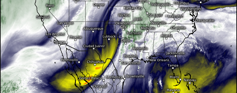
Another Winter Mid/Deep South Severe Event Likely
As expected, a somewhat more potent severe threat has materialized for a portion of the Mid/Deep South today as the mesoscale models came into range showing greater instability than previously suggested by global models.
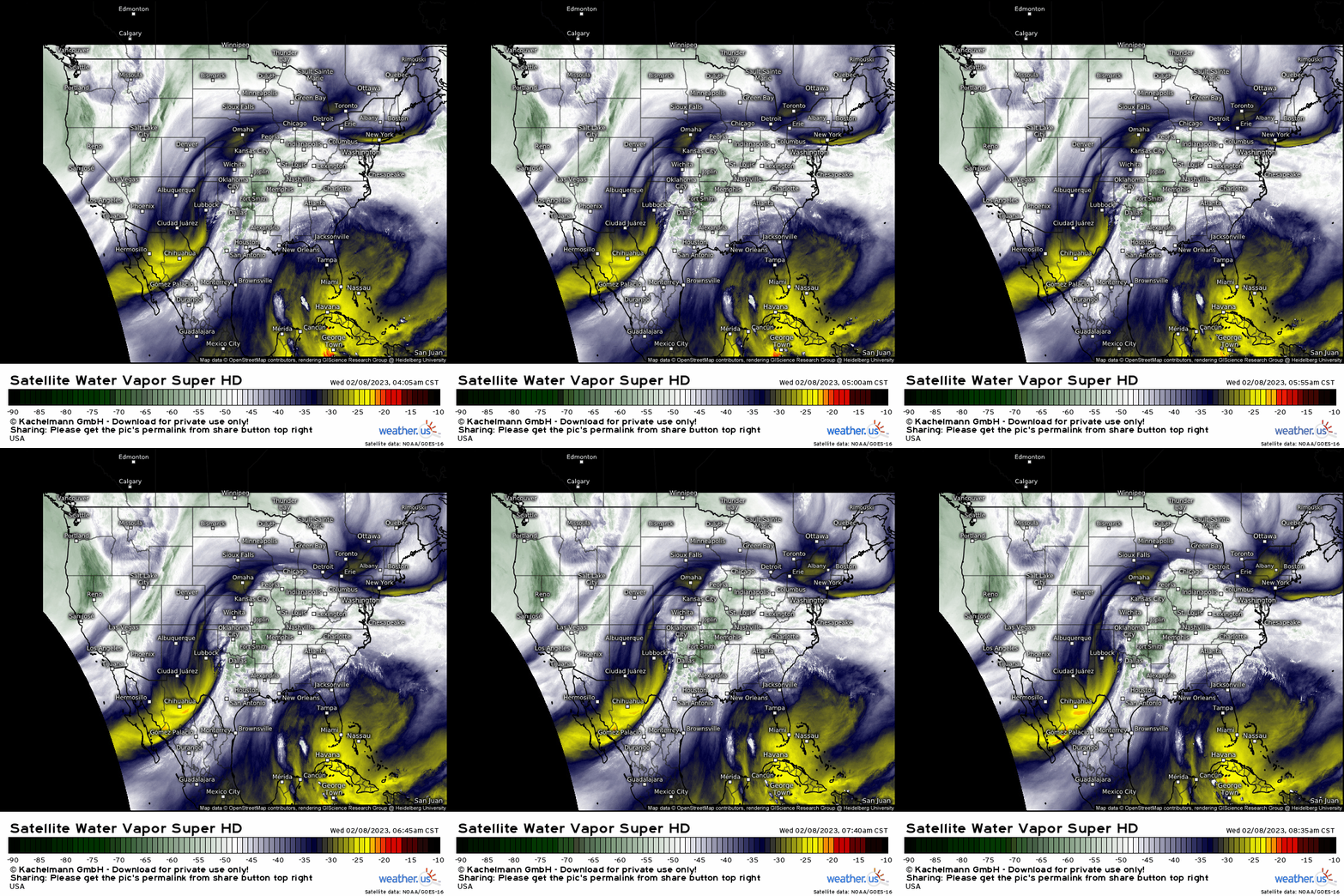
The trough facilitating our potential for severe weather is evident on water vapor imagery this morning, as is the moisture ahead of it streaming northward.
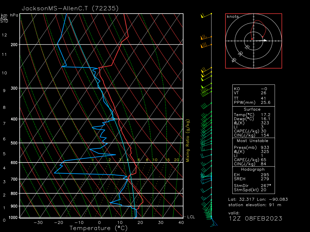
An observed 12Z sounding from Jackson, MS shows an atmosphere that is currently capped, but definitely has potential for severe weather – especially as broken cloud cover over the region along with the continuing northward transport of moisture work to erode that cap.
Directional shear is good with winds backing to the SSE.
Speed shear is lacking at the moment, but that should change throughout the day as the associated surface low deepens some and moves closer to the region, allowing the low-level jet to increase.
Judging by the morning sounding, it’s not hard to imagine a tornado/damaging wind threat evolving later in the day as heating/moisture advection does its work. Most of the ingredients are already showing up.
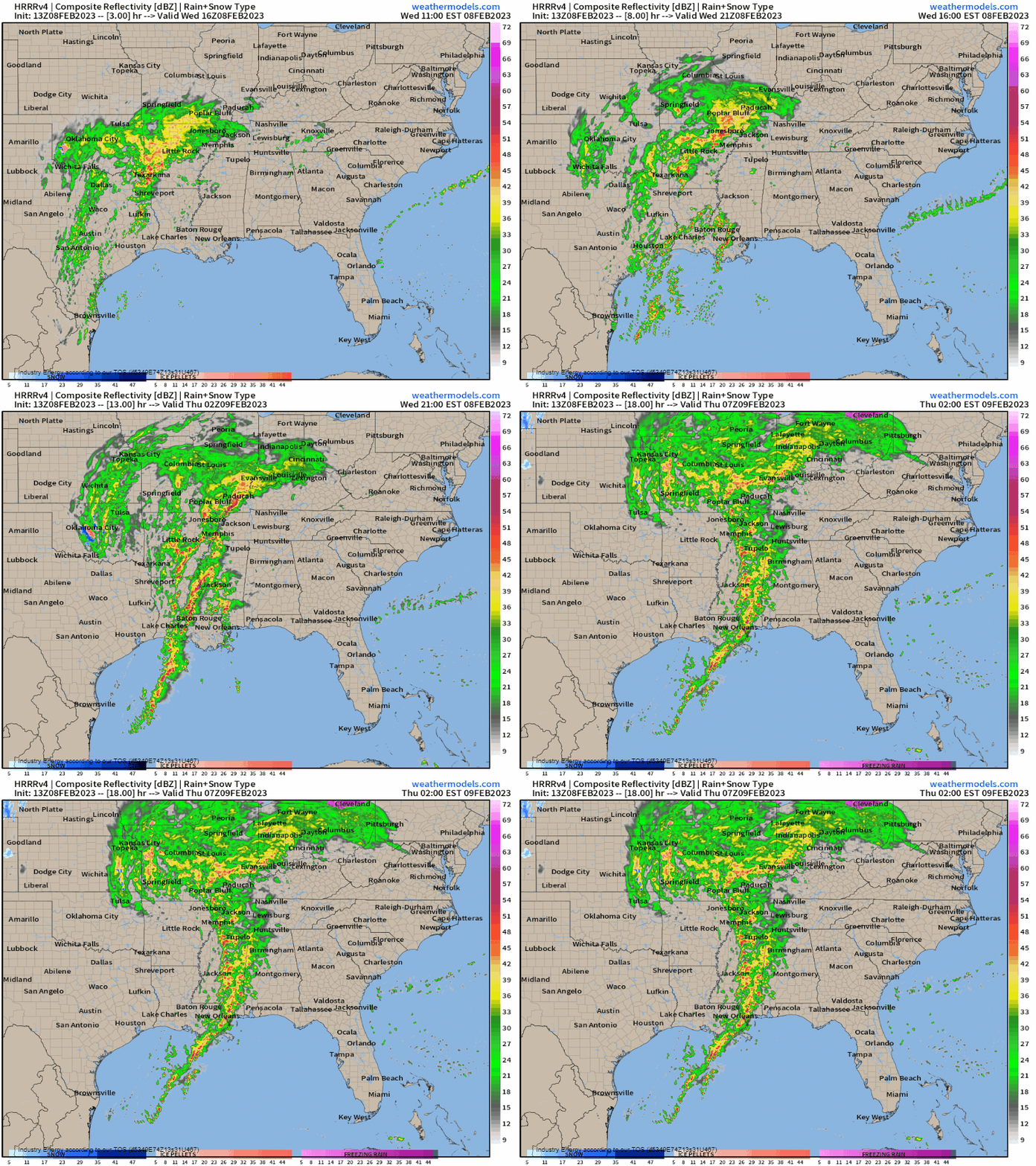
Pre-frontal storms should begin to develop in earnest as we enter the afternoon hours. The area from eastern Louisiana to the Arkansas border and east through Central Mississippi appears to have the “best” ingredients for severe storms. Here is where the possibility of an initially discrete mode (single supercells) and, consequently, the tornado threat is highest.
Storms are expected to evolve into multiple broken lines as the afternoon wears into evening. As we approach the overnight hours, these multiple lines are expected to merge into a single line and slowly weaken as it moves into less favorable conditions. Still, damaging winds and a tornado or two can’t be ruled out, at least in the early portion of the overnight hours.
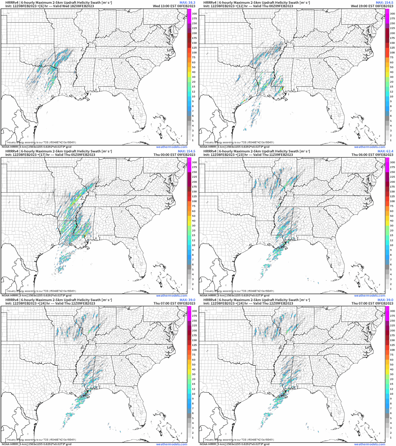
Using the Updraft Helicity parameter, we can get a feel for where the strongest, most persistent rotating updrafts may be located.
Remember, this is not to be taken verbatim in location or as a certainty of tornadoes. This parameter merely shows where the ingredients come together best to potentially produce rotating storms. Whether or not those rotating storms produce tornadoes is more of a matter of what’s going on in the lower levels – directional shear, low-level storm-relative helicity, etc.
That said, the best potential appears to be over the area I highlighted in a previous paragraph.
Take Action:
- As mentioned above, at least part of this event will extend into the after-dark and overnight hours.
- Anyone expecting severe weather today should have their weather radio ready to go, with at least one other way to receive warnings.
- Know your plan to shelter and be prepared to act if a warning is issued – not just for tornado warnings, but for severe thunderstorm warnings as well as their winds can also pack a punch.


