Another Plains Severe Threat
There’s no rest for the weary as we roll into yet another day that holds a severe risk.
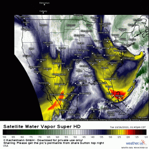
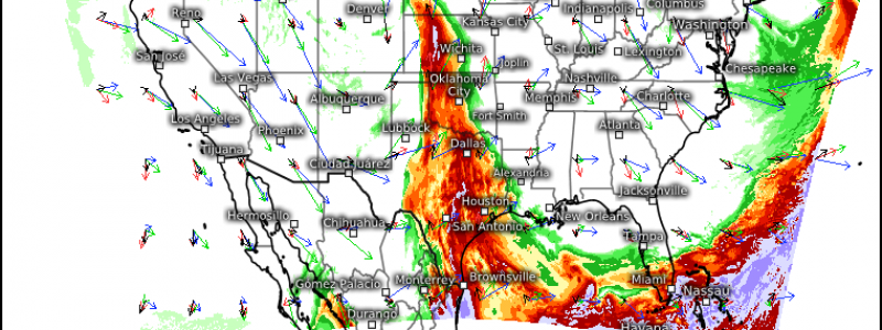
A mid-level trough, roughly located over the southern Rockies, is pivoting eastward. As it descends the mountains and a surface cyclone forms, the deepening cyclone combined with a dryline will help to kick off convection later this evening.
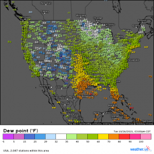
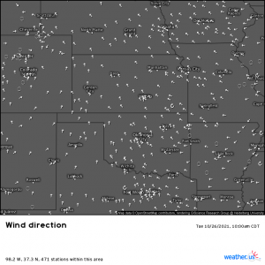
The dryline is pretty evident in this hour’s dewpoint observations, as is the warming ahead of the incoming trough. That zone of 60/70 degree dewpoints is where we’ll be watching for severe weather this evening.
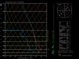
Currently, there is a rather stout cap in place over this area.
This is an observed sounding taken at Amarillo, TX a few hours ago. As mentioned, there is a strong cap in place. It will likely take extra lift – such as the approaching front – to break through this cap and allow for any severe weather. This is forecast to occur as we move into the evening.
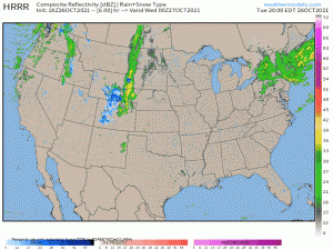
Discrete cells will likely be able to form early in the event. Over time, as the cap truly breaks, upscale growth into a line is forecast.
Hazards
All hazards are on the table for this event, especially early on.
With current surface winds backing from the southeast and sufficient speed shear in place as well, tornadoes are possible. They will be more likely in any discrete cells that form early but will remain possible as the convection transitions into a line later in the period.
Severe hail is also possible, though the largest hail threat will be confined to the early period when discrete cells are forecast to exist.
Damaging winds will become the primary threat as we progress into the overnight hours. An isolated tornado will remain possible with any supercells embedded in the line.
As always, have multiple ways to receive warnings. This event will start in the evening hours and and continue overnight – likely into the next morning – so be sure to have at least one way that will wake you if need be. Again, if you’re in the area expecting overnight activity, I suggest considering sleeping in your safe space to cut down on time wasted between getting the alert, getting out of bed, and scrambling for shelter.
Stay safe!
