An Intensifying Pressure Gradient In the Interior West Brings High Winds to Southern California
It’s another gorgeous, cloud-free, warm day across the southern tier of the US today thanks to moderate air blowing in from the Pacific during a mostly zonal flow. While a gusty-at-times southerly flow will advect in warm air to the eastern third of the country this afternoon, assisting in them achieving above average high temperatures, a high wind event of a different caliber is taking shape out west.
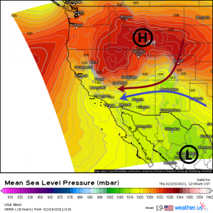
A trough (that will later disrupt the spring-like bliss in the east) is sliding south over the interior west and will allow high pressure to build in east of the Sierra Nevada mountains.
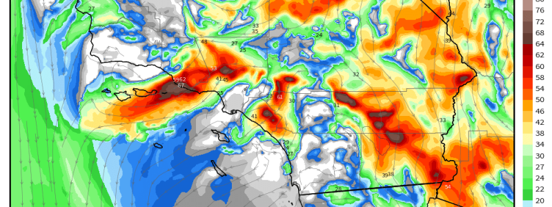
With strong high pressure in the north and an area of low pressure to the south in relatively close proximity, the resulting pressure gradient combined with the flow around both pressure centers will funnel strong winds over the Sierra Nevadas into the valleys of southern California. The gradient will intensify and shift from a more northerly orientation during the day today to northeasterly later this evening, lining up perpendicularly to the mountain range and maximizing the effects of the winds.
Link
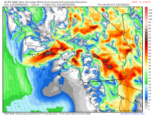
Gusts will, of course, be highest along the peaks and ridgelines of the mountains as the elevated terrain offers less friction to slow the winds. Here, we could see sustained winds of 30 to 45 mph and gusts approaching or maybe exceeding 70 mph.
In the valleys, sustained winds of 20 to 35 mph with gusts approaching 50 mph can be expected. A high wind warning has been issued for the affected areas for tonight through tomorrow morning.
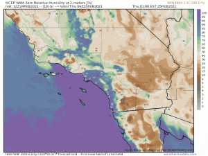
In the past when we’ve blogged about a Santa Ana wind event, it would usually come with a critical fire risk. That, thankfully, is not the case this time. Though this is downsloping and the winds will warm and dry out the valleys as they blow through, ahead of this event the air is pretty saturated.
So while these winds bring in much drier air, it’s not quite as dry as during some of the more extreme fire risks we saw a few months ago. This area has also seen about an inch of rain in the past 30 days (source) which doesn’t sound like much especially if you’re one who is used to the at-times torrential rains of the southeast, but, it’s southern California and a little goes a long way. My point is, conditions have changed since last time we saw a critical fire risk.
The windy weather diminishes by tomorrow afternoon. Until then, batten down the hatches and secure any loose items.
Have a great day!


