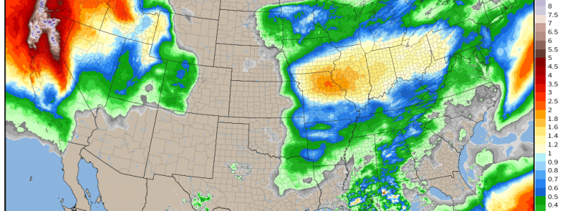
Amidst Welcome California Rain, Dangerous Flooding Possible
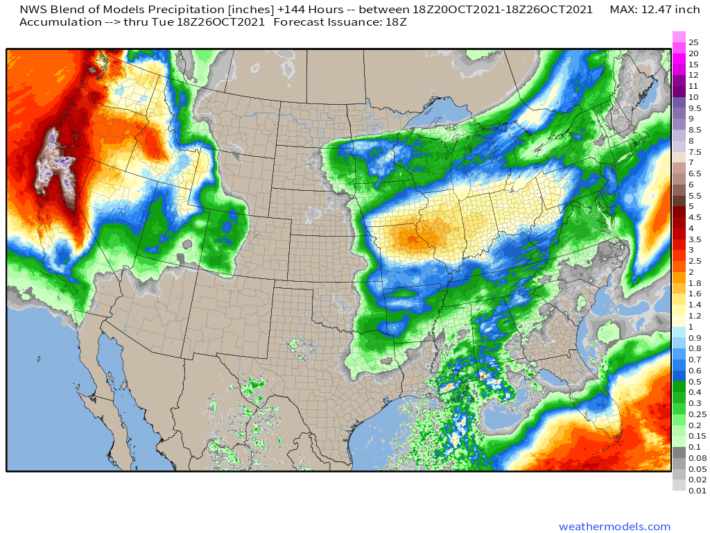
A substantial, repetitive atmospheric river (AR) event will likely impact the West over the next couple weeks. As we’ve discussed, the pattern will be largely beneficial, with substantial rain likely to incrementally improve the state’s dire drought. That being said, though, an increasing probability of rain so heavy as to cross the line from beneficial to dangerous bears watching Sunday into Monday.
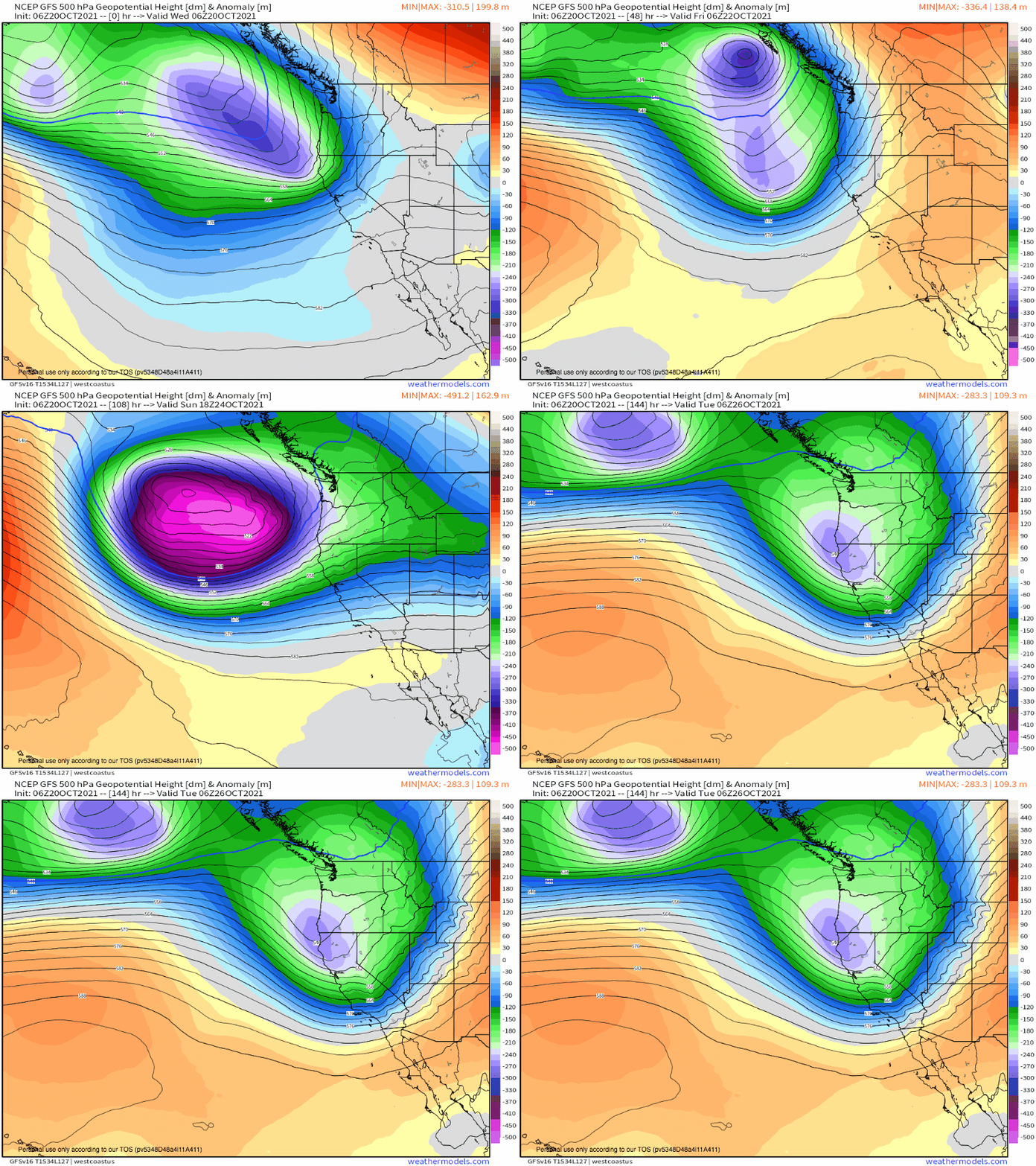
The setup for multi-week heavy rain, as a whole, will essentially consist of a long-lasting, gigantic closed low sitting off the West Coast. As a string of impulses feed into the low over the coming days, periodically enhanced divergence aloft will encourage local low-level jet maxima overwhelmingly supportive of poleward moisture transport from the central Pacific.
One of these will develop over the weekend, as the low deepens in response to a phasing shortwave. Such deepening will occur nearly parallel to the height lines, as shown above, a sign that the resulting mass removal could ‘train’- in other words, the low level jet will not waver much in latitude.
This is confirmed by a look at model guidance, which supports intense integrative vapor transport remaining fairly immobile, sucked towards the coast by the unwavering and very intense low level jet.
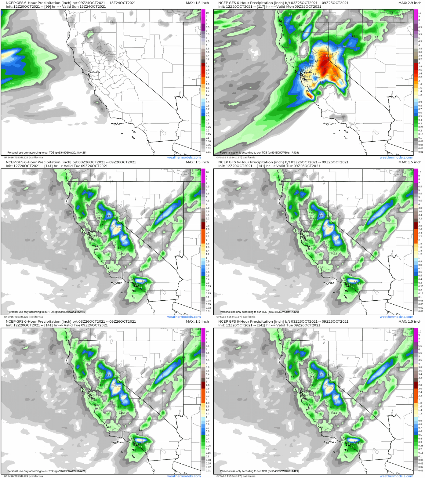
As all of this moisture is pulled into the Californian coast into the early work week, it’ll be forced to condense by convergence along coastal friction and topographical ascent. The result will be extremely heavy rain, which will slowly fan down the coast over ~48 hours. The motion of the midlevel cold front, which dictates the northern edge of the moisture transport, will locally parallel its orientation due to the driving cyclone’s cyclonic loop off the Pacific coast, leading to several hours of prolific rain. Locally, rain could well cross from beneficial to hazardous, with a threat for landslides- especially where land is rendered vulnerable by burn scars or steep topography.
Remember, the impacts of an atmospheric river event are a function of moisture flux and longevity. This setup seems likely to feature both in excess. The result should be considerable short duration rainfall, piling up to event totals that could approach a foot.
Notice, also, how persistent heavy accumulations of precipitation are against the high Sierras. Here, considerable snow amidst blizzard conditions should boost the snow pack by quite a bit going into the early wet season.


