A Taste Of Fall
Let’s take a break from talking about summer heat today and focus on weather that will likely be welcome by many: a taste of fall.
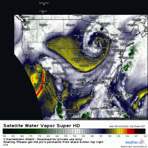
A beautiful upper level low can be seen over the Midwest this morning via water vapor imagery. Yes, it is pulling moisture in ahead of it and I’ll cover that in a minute, but check out that dry air behind it!
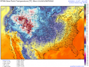
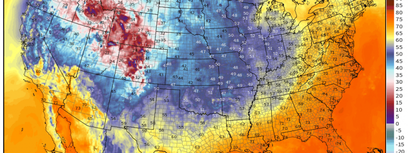
Dewpoints in the 40s are present over the upper Midwest and the central/northern Plains states. Additionally, dewpoints in the 50s are sliding in to the Ohio and Tennessee River Valleys.
I don’t know about you, but I’m excited. Summer is great and all, but I’m a big fan of not sweating the second I step outside.
Now, we already know that this a drier airmass, but what does the change mean for our temperatures?
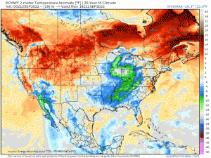
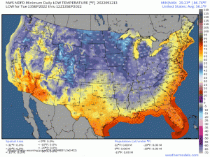
Initially, it means both cooler days and cooler nights, at least through tomorrow. After that, daytime temperatures remain at or slightly below normal while the biggest difference is felt at night. Why is that?
Well, drier air is easier to heat, but it’s also easier to cool. So while dry, sunny days will lead to warm afternoons, clear nights will allow radiational cooling to do its thing. As the sun goes down and the land begins to cool, all that heat, in the form of longwave radiation, escapes into the atmosphere. With no clouds (evidence of moisture) to block its escape, nighttime temperatures will dip into the “crisp” or “refreshing” range.
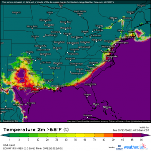
By tomorrow morning, those sticky overnight lows (at/above 68 degrees F) are confined to mostly coastal locations and, of course, Florida.
In fact, many of us will have 2-4 good, cool mornings before humidity starts creeping back in ahead of the next big front.
Get out the sweaters and pumpkin spice then open those windows and enjoy it! I know I will.
One last thing: I mentioned that this upper level low is wrapping in moisture earlier in this blog. As the low slides off to the northeast, the moisture may become a problem for some.
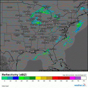
The sluggish movement of the low will lead to persistent cloudiness in the vicinity of the low as well as training waves of rain over the Midwest today and the Northeast tomorrow. This could result in flash flooding issues.
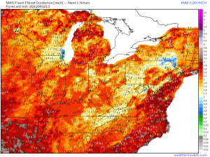
FFG values are low in several parts of the Midwest – where issues may be seen today – as well as into the Central Appalachians/Pennsylvania/New York, where issues may arise tomorrow.
As always, use caution if you’re out and about. Don’t drive through floodwaters.
An extended stretch of much drier weather is ahead, however, as high pressure settles in.
