A Soggy Week Ahead for the Southeast
If you’re in the mid-Atlantic or the northern half of the south/southeast, you may have noticed a change in the air this morning as you stepped out the door.
Cooler and (more importantly) drier air is settling in courtesy of a digging trough.
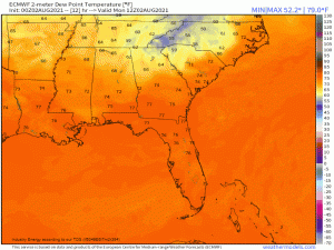
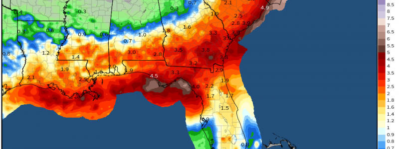
Unfortunately, the front associated with the trough won’t dig all the way to the Gulf coast. This leaves those along both the Gulf coast and the southern Atlantic coast with two problems. The first is no brief respite from the tropical humidity. Second, not only will the front not pass through, it will stall over the southeast, providing a boundary for the constant training of showers and storms throughout the work week.
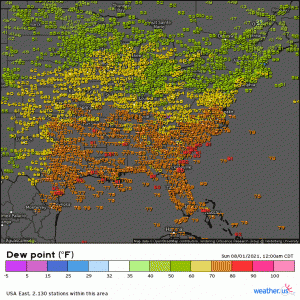
The contrast in dew points in the animation above shows pretty well where the front will stall.
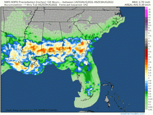
The southeast hasn’t exactly been dry this summer, especially places like Mississippi, Alabama, and Georgia. These states will be the focus of the rainfall today before the potential shifts to the Atlantic coast tomorrow.
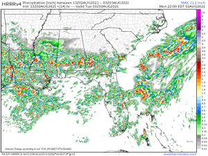
Some fairly heavy rain is currently moving out of MS into AL and more is expected to fire up along the frontal boundary further south this afternoon.
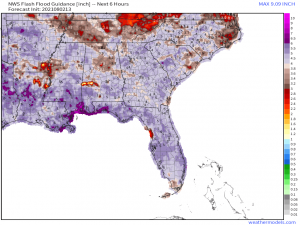
The flash flood guidance for the next 6 hours suggest relatively high thresholds in both states though there are a few notable exceptions. These would be the Birmingham metro, which has flooded repeatedly in the past week, west-central Alabama, northeast Louisiana, southeast Arkansas, and west-central Mississippi.
Current guidance suggest the greatest threat for excessive rainfall will remain south of the both the Birmingham metro and the vulnerable area in AR/MS which is good news for them. Concern remains for west-central AL and NE LA.
With storms capable of locally heavy rainfall estimated to be firing around these areas today, these are the locations I would watch for flash flooding.
I probably sound like an old, broken record by now but: please use caution if you’re out and about in this region later today. Don’t drive over a flooded roadway. I’ve seen far too many videos of people doing just that this summer and it almost always leads to either a close call or actual disaster. Water depth can be deceiving. Often it is much deeper than it appears. Also, the road may be washed out underneath and you won’t know until you’re directly over it. Driving through waters to save a few minutes on your commute isn’t worth your life.
As mentioned, the excessive rainfall threat will shift to the southeast Atlantic coast tomorrow and will remain there for most of the week.
We will, no doubt, need to discuss flash flooding concerns here as the week progresses, so stay tuned for that.
There is one benefit, however, to this stalled out front.
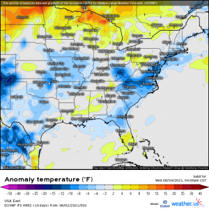
Though dew points will remain tropical due to the lingering moisture, the persistent cloudiness accompanying the constant showers will lead to temperatures decently below average along the coast/a bit inland. High temperatures generally in the high 70s to low 80s are expected as the stalled frontal boundary hangs out.
