A Record-Breaking Cyclone?
Fiona has been a hurricane for roughly 6 days now. It attained hurricane status on Sept. 18 and then quickly strengthened in the following days, topping out at a category four. Though it has weakened to a category three in the past 12 hours or so, it still packs a potent punch as it races north-northeastward. However, it’s about to undergo a transition and become a very dangerous cyclone.
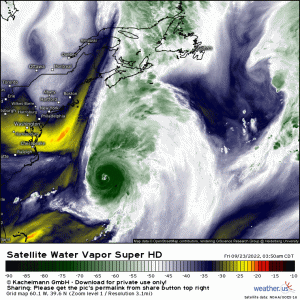
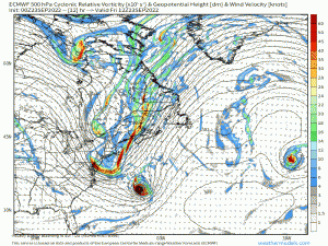
Through use of water vapor imagery, we can clearly see a trough exiting the Eastern US and preparing to phase, or merge, with Hurricane Fiona. While this is awe-inspiring imagery, it’s also a punch to the gut. Fiona, or what it becomes, won’t move harmlessly out to sea. It has its sights set on Atlantic Canada.
Once this trough swings out and grabs Fiona, the hurricane will begin to transition to an extratropical cyclone – basically a mid-latitude cyclone. The transition will allow Fiona’s wind field to expand and the central pressure to plummet, making an already powerful hurricane an even more dangerous storm.
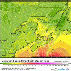
When the wind field expands, it increases the distance from the center that maximum winds are found. So, instead of being confined to a small eyewall around a hurricane’s eye, hurricane-force winds can now be found miles away from the center.
The NHC official forecast suggests that Fiona, or what it becomes, will come ashore in Atlantic Canada equivalent to a category 2 hurricane. Based on this estimate, sustained winds of up to 110 mph can be expected with higher gusts. The highest wind speeds will likely be found near or at the coast as friction tends to slow winds some further inland. Widespread power outages and structural damage will likely result.
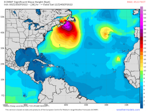
These intense winds will also result in storm surge and large waves.
Wave heights exceeding 40 ft could be observed uncomfortably close to the coast. So, whether from storm surge or large waves, if you reside in Atlantic Canada and your location is vulnerable to coastal flooding, it might be wise to evacuate if you have not already.
In addition to rain, wind, and water hazards mentioned above, this storm has the potential to be record-setting for Atlantic Canada.
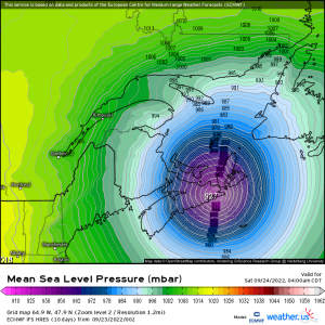
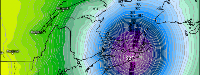
Models agree that the storm’s central pressure at landfall will be within a few millibars of 930 mb. Should this verify, it will break the record for lowest pressure recorded on land in Atlantic Canada. The record, as it stands now, is 940.2 mb, set at St. Anthony, Newfoundland in January of 1977.
Atlantic Canada is no stranger to these strong cyclones, but one of the magnitude forecasted is unprecedented. I cannot overstate how dangerous this storm will likely be. If you reside here or have family/friends that do, be prepared. Conditions will begin to deteriorate later today so rush any preparations to completion.
