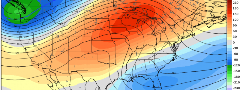
A Much-Needed Break
After another active day and night yesterday – in which more people unfortunately lost their lives to severe weather – a line of storms continues to march eastward ahead of a cold front.
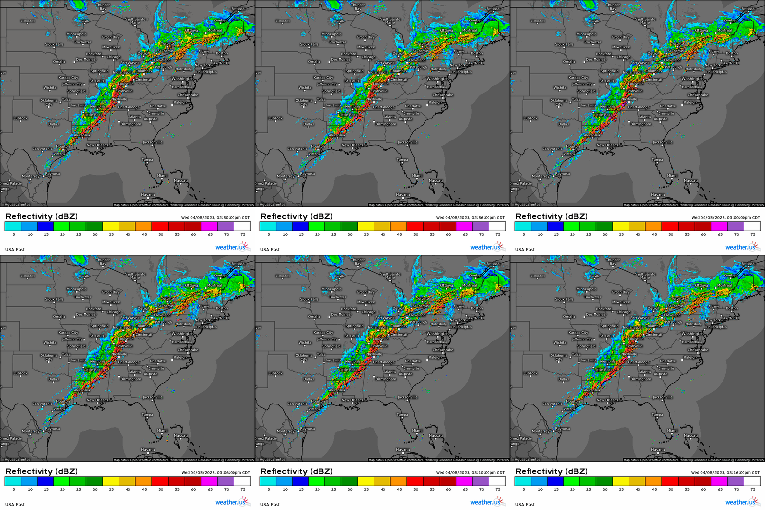
Parts of the line have become severe at times, and the threat will linger into the overnight hours as it pushes eastward into an airmass that currently feels a bit more like summer than early spring. A marginal threat will exist for the Mid-Atlantic tomorrow before this system finally exits our shores.
Three straight weeks of deadly severe threats has us all tired and wondering “Will we get a break soon?” The answer, in a word, is yes.
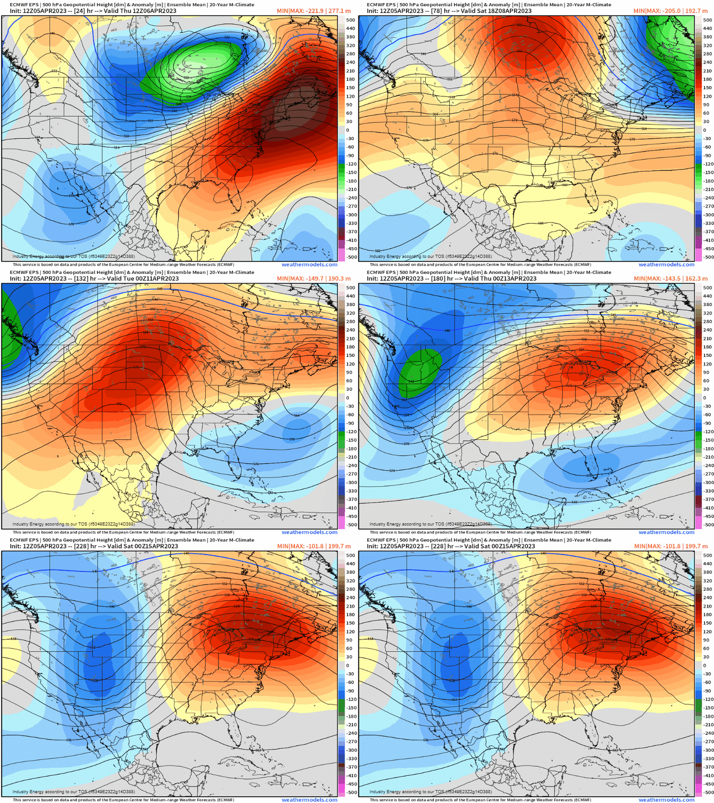
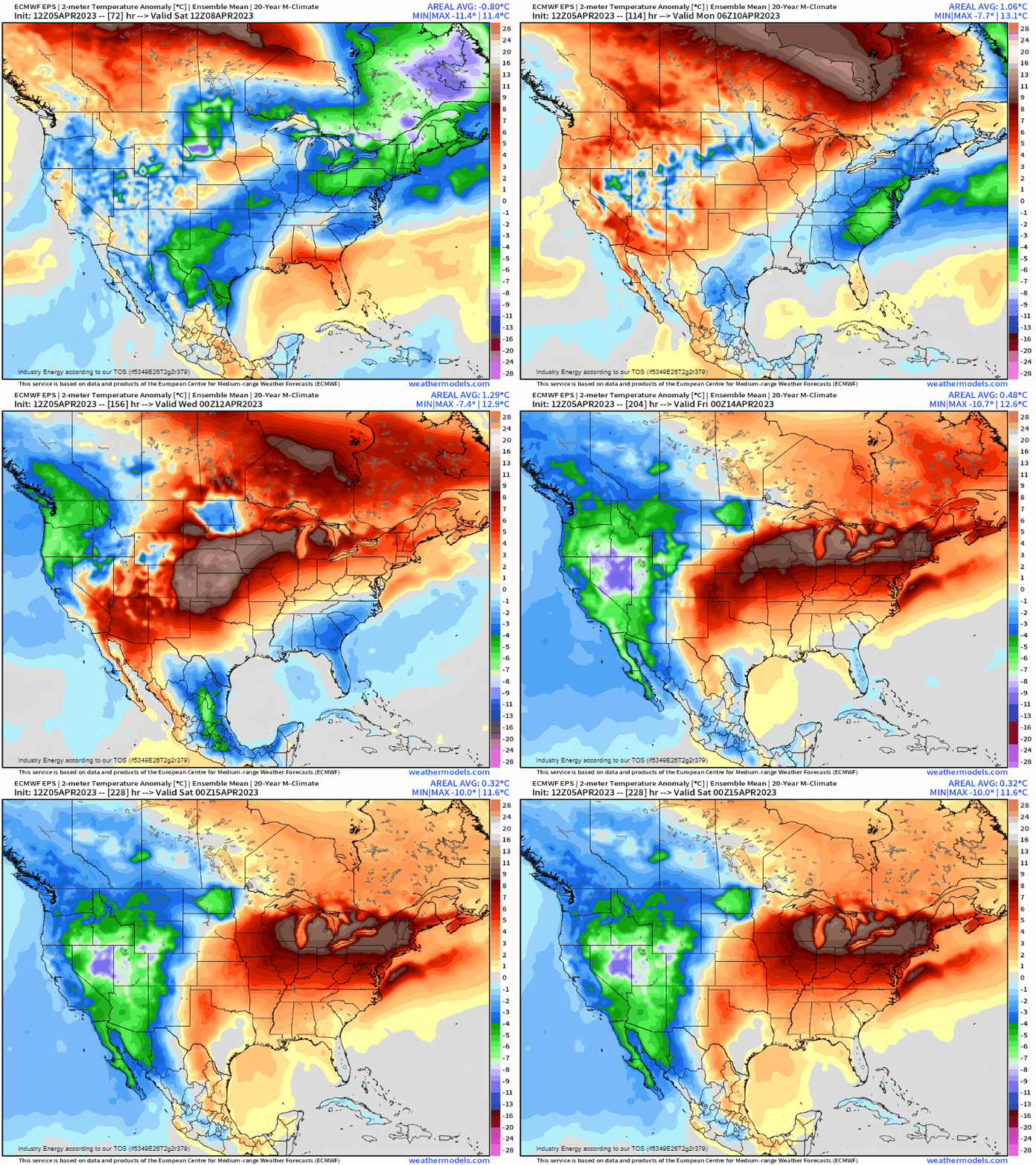
After our current system exits eastward, model guidance suggest strong ridging building into first into the west, and then quickly transferring east. Some troughiness could persist over the Southeast US via the subtropical jet as a split flow materializes early next week, but it doesn’t look to pose a severe threat at this time.
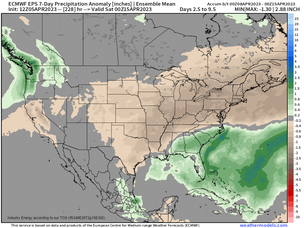
With the exception of the Southeast (due to the aforementioned developing southern-stream trough), those east of the Rockies look much drier than average as ridging dominates over the next week.
Link
After a brief drop behind the incoming cold front, temperatures will climb under the building ridge.
Ridging remains firmly in place while troughing is kept way out west through the work week next week. We can safely say, as long as no major changes occur to the forecasted pattern, that any chance of severe weather (for the next 7 days) in the areas that have been repeatedly hit these last weeks seems very low. Recovery can begin and continue without fear of the next threat, at least in the medium term.


