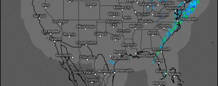
A (Mostly) Tranquil Weekend
It’s been a rather active week with heavy snow, severe storms, flash flooding, and even snow in the deserts. It has been the kind of week meteorologists all over the country need a vacation after.
And, that’s just what they’ll (mostly) get this weekend!
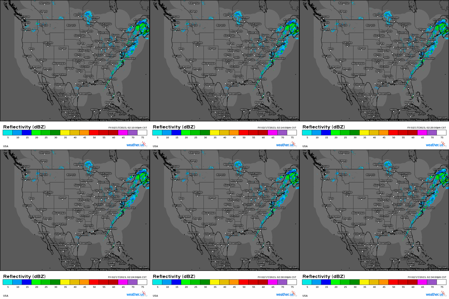
The remainder of our latest system is visible on radar and will exit eastward overnight. Aside from some leftover lake-effect snow and some very localized showers, the majority of the lower 48 is then left with very little in the way of adverse weather.
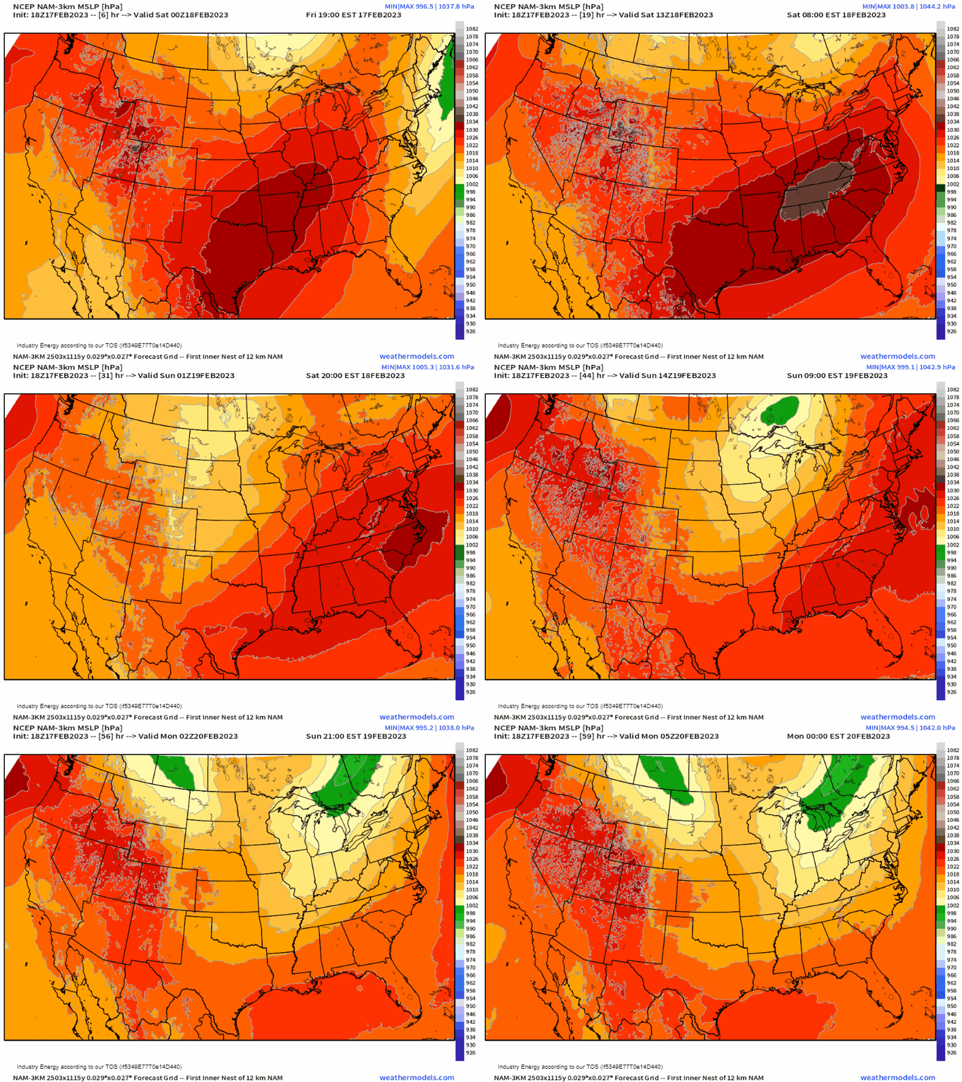
High pressure will settle in on the heels of our departing system for Saturday and, except for two weak disturbances – one pivoting across the far northern portion of the country and one rolling through the Plains on the southern branch of the jet stream – tranquil weather is in the forecast through Sunday evening.
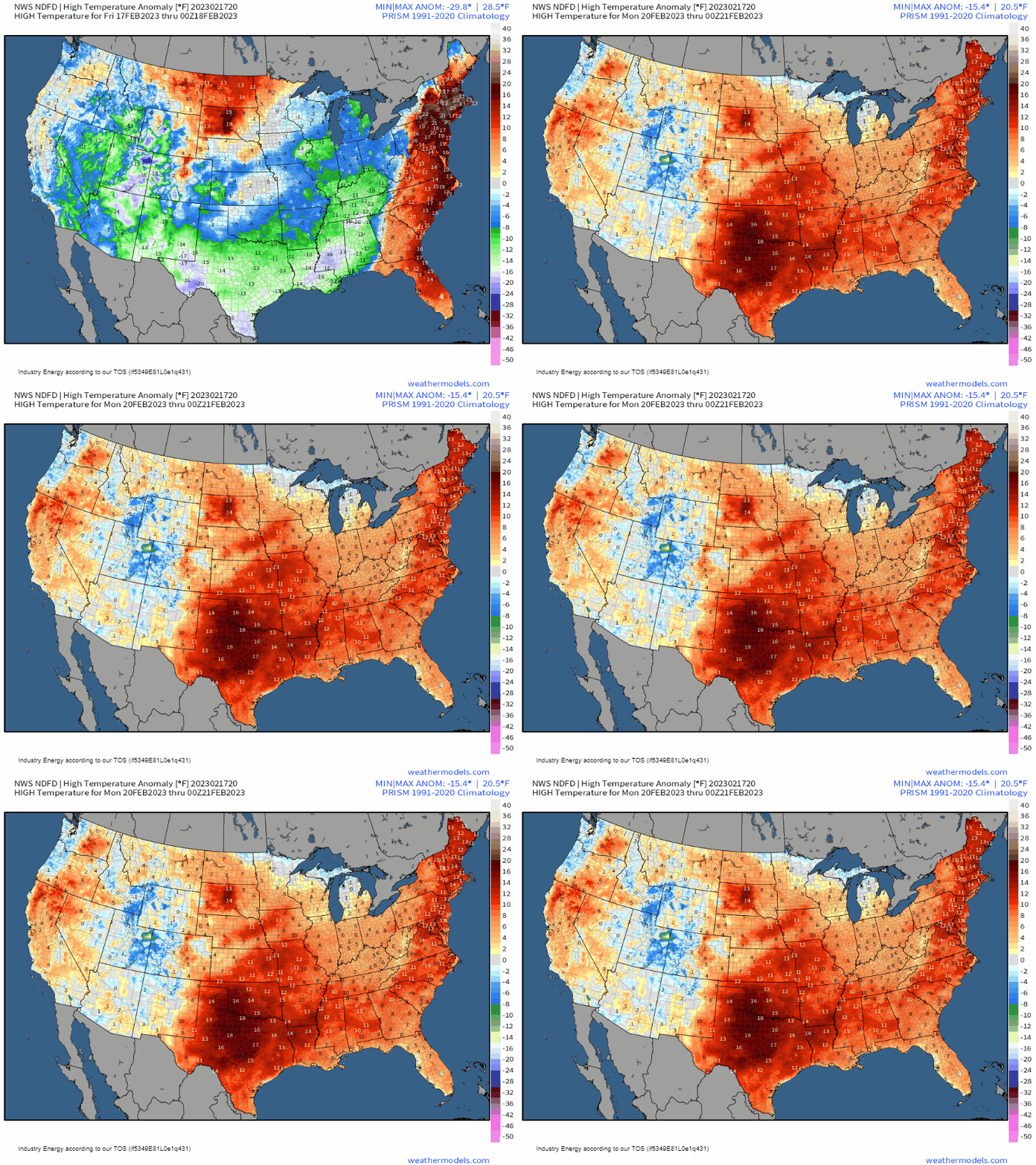
As far as temperatures go, while chilly air is in place behind the departing system, areas that are much cooler than average today will rebound quickly under sunny skies this weekend. Temperatures will once again be above average east of the Rockies by Sunday and even out to near-average west of the Rockies during the same time period.
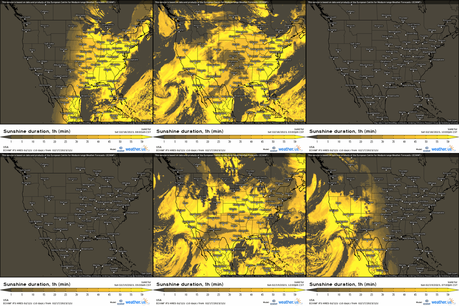
Sunshine should be fairly plentiful for many this weekend so, although Saturday may start off cold in places, get out and enjoy the warming trend and quiet weather while it lasts.
A more amplified pattern is on the way for next week as well as a return to active weather once again.
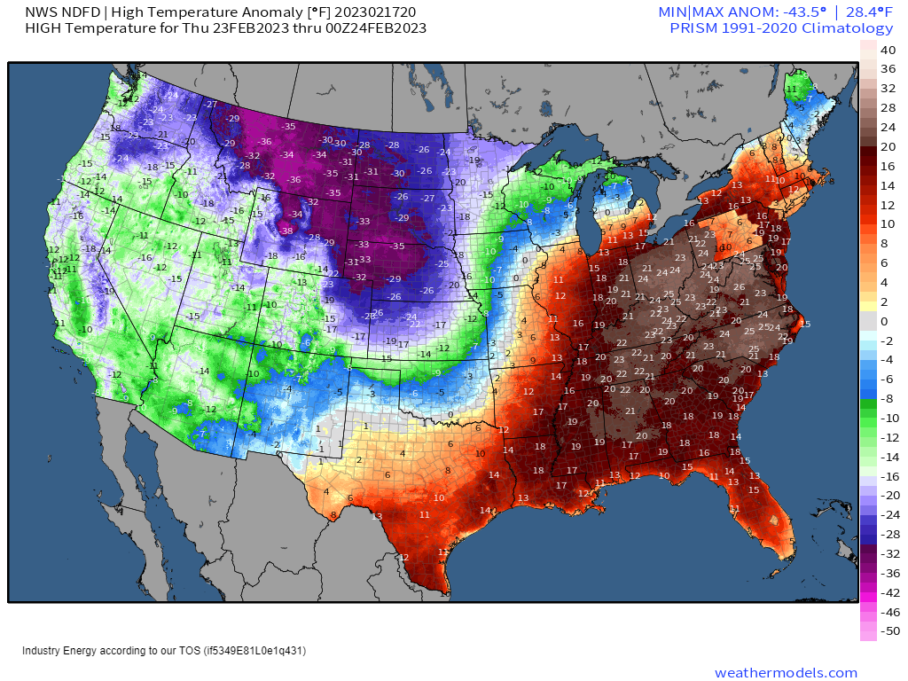
But we’ll dive into all of that at the beginning of next week. Enjoy your weekend!


