A Little Bit of Mischief in the Gulf
The Atlantic may be currently closed for business, but we can always count on the combination of warm Gulf waters and leftover frontal boundaries to try to stir up some mischief.
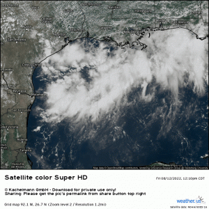
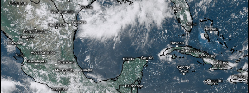
We currently have a spot to watch in Gulf in the form of a broad area of disorganized showers and thunderstorms.
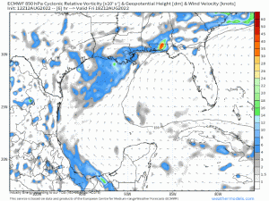
If you watch the satellite loop closely, you can identify broad low-level spin. However, this mass of showers and storms has only been given a 10% chance of development.
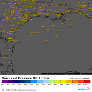
Pressure is only very slightly lowered near the “center” of our spot to watch. Plus, as mentioned, it remains very disorganized at the moment.
The beginning hints of organization this disturbance is displaying would be encouraging for hopes of development if it weren’t for a few factors: shear and limited time.
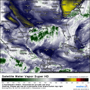
Take a quick look at our Water Vapor loop. The second front currently pulling in dry air for some lucky folks in the Eastern US can clearly be seen sinking south. While the environment surrounding the disturbance in question is very moist, dry air lurks not far away, pushing off the continent.
Notice the clouds in the disturbance streaming south-southwest. It is being sheared from the northeast by this incoming front. So, though convection is forming, it is being blown downwind of where we can estimate the broad center may be. That’s not great for developing a vertically stacked cyclone.
Given time, tropical cyclones can sometimes organize despite shear if they have a moist environment and warm ocean water to feed off of.
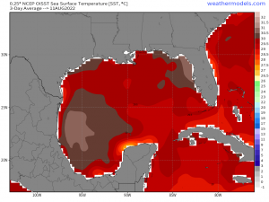
The Gulf waters are certainly that, given that they have remained untapped since Potential Tropical Cyclone One (later TS Alex) traversed the southern limits back in early June.
But time is something this disturbance does not have.
The area of interest is already fairly close to land. Over the weekend, it is forecast to meander slowly west-southwest before coming ashore in southeastern Texas near the end of the weekend.
While this may be enough time to spin up a quick depression, it seems relatively unlikely as shear works against it.
However, the likely like of a name does not mean a lack of impacts.
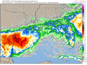
Locally heavy rainfall from this slow-moving disturbance could cause isolated flash flooding. This region has been rather dry over the last few months, so hard, sunbaked soils could have difficulty absorbing heavy rainfall.
It’s something to keep in mind if your location is vulnerable as we head into the weekend. If you’re out and about, be mindful of flooding and never drive through floodwaters!
