A Bomb Cyclone and the Longwave Pattern
A powerful storm is lurking this morning.
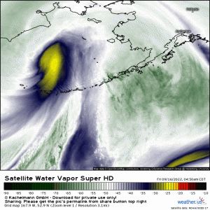
It’s not tropical, not where you’d expect it to be, and doesn’t really look like much on any of the currently available satellite imagery.
This storm, located near the Aleutian Islands of Alaska in the North Pacific, is what used to be Typhoon Merbok. Merbok underwent extratropical transition as it moved away from the Western Pacific into the Northern Pacific over the last couple of days.
It is now basically a powerful mid-latitude cyclone bringing rather rough weather to the Aleutian Islands and, later today, to western Alaska.
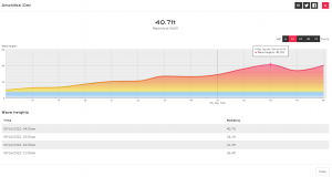
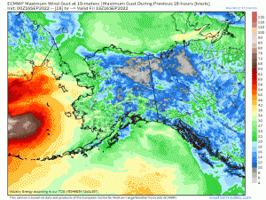
Powerful waves in excess of 40 ft have been recorded in the last 12 hours by stations along the Aleutian Islands.
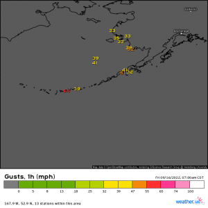
Tropical storm force gusts have been recorded, both on the islands and on the west coast of Alaska.
Over the next couple of days, high surf, heavy rain, and strong winds will be the main concerns for this region.
These winds won’t just blow down trees and powerlines on land, they’ll affect the sea level too.
It works the same way as storm surge does during a hurricane: Strong winds blow the water inland, raising the sea level and flooding the coasts. For those residing along the Norton Sound, this could equate to water levels 8 to 12 feet above normal. That’s significant storm surge!
You may be wondering why I’m discussing this storm seeing as how it’s not directly impacting the lower 48, which is much more heavily populated than the western coasts of Alaska. But, believe it or not, it will impact the lower 48, just maybe not in the way you’re thinking.
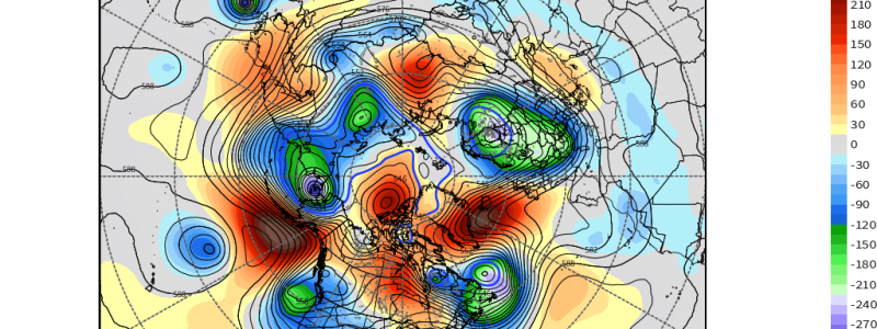
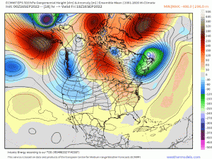
This intense cyclone will affect the longwave pattern (the troughs and ridges) downstream of it – and the lower 48 is, in fact, downstream.
By watching the above animation, we can see the cyclone digging in over the North Pacific, which causes the ridge in the northeastern Pacific to amplify. In response, a trough digs deeply over the western US. Then a ridge amplifies over the central US.
Remember, our atmosphere is a fluid. What happens in one region impacts the pattern downstream.
This deep-digging trough transitioning to cut-off low over the western US is great news for them; it will result in some much needed rain (and mountain snow) for areas currently riddled with still-burning forest fires. While this isn’t a fire season-ending event, it should go a long way toward helping to pull some fires under control. Additionally, this region is still in severe drought. Moisture is a good thing, provided it doesn’t fall too hard too fast and result in flooding.
Conversely, the amplifying ridge over the Central US isn’t such great news, unless you enjoy sweating.
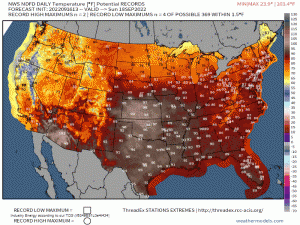
Temperatures will soar 10 to 15 degrees above average for many. Daily highs near 100 degrees F are possible for some and quite a few records could be challenged or broken.
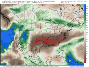
In addition to the heat, the overall pattern looks very dry for those under the ridge. This is good news for portions of the Eastern US that have seen excessive rainfall lately but not so great news for those in the Plains states still deep in drought.
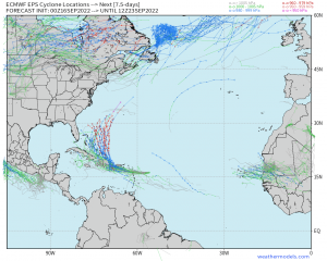
This changing longwave pattern will also have a big effect on the future path of Tropical Storm Fiona.
Uncertainties in how the longwave pattern will actually shake out still abound, resulting in a large spread of possible tracks and intensity solutions for the TC.
Though fluctuations in the pattern can really mess with even fairly short-term forecasts, it’s pretty amazing to really see how interconnected our atmosphere and resulting weather is!


great post once again! weather is cool!!