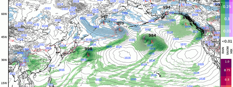
A Barrage of Low Pressure Systems: Northeast Pacific & Alaska
This winter will certainly be highly likely to be remembered for its tenacity across North America, for reoccurring patterns since winter’s start. We’re going to see several robust low pressure systems manifest from the Pacific, and impact anywhere from the Aleutians to the Pacific Northwest this week.
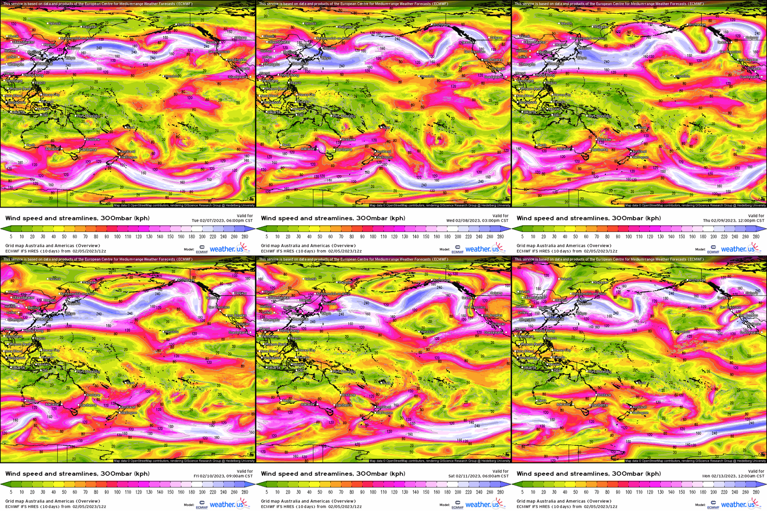
We start by showcasing the 300 mb upper level jet this week. You’ll notice how semi-zonal it’ll be, and amplified it is. Along with that, it’s allocated poleward, as divergent areas of jet streaks render continued favorable synoptic environments for strong cyclones as we’ll see once getting to the surface.
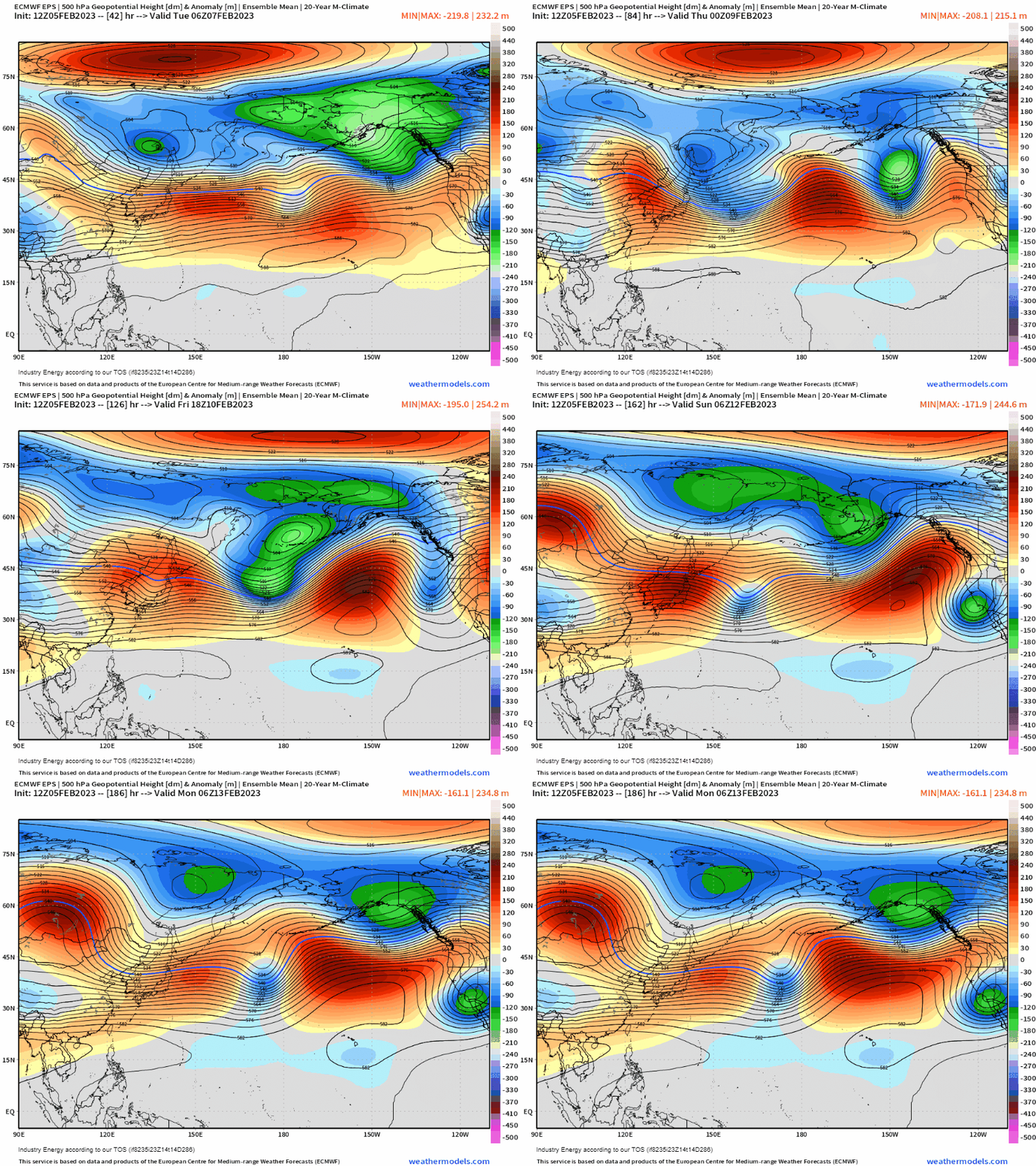
Analyzing the mid levels of 500mb, we see a familiar pattern: persistent troughiness expansive across Alaska into the Bering Sea, with flattening mid-level ridging across the Pacific. In between, you can make out the zonal nature of the pattern, as several embedded short troughs are “zooming” from west to east (or SW to NE).
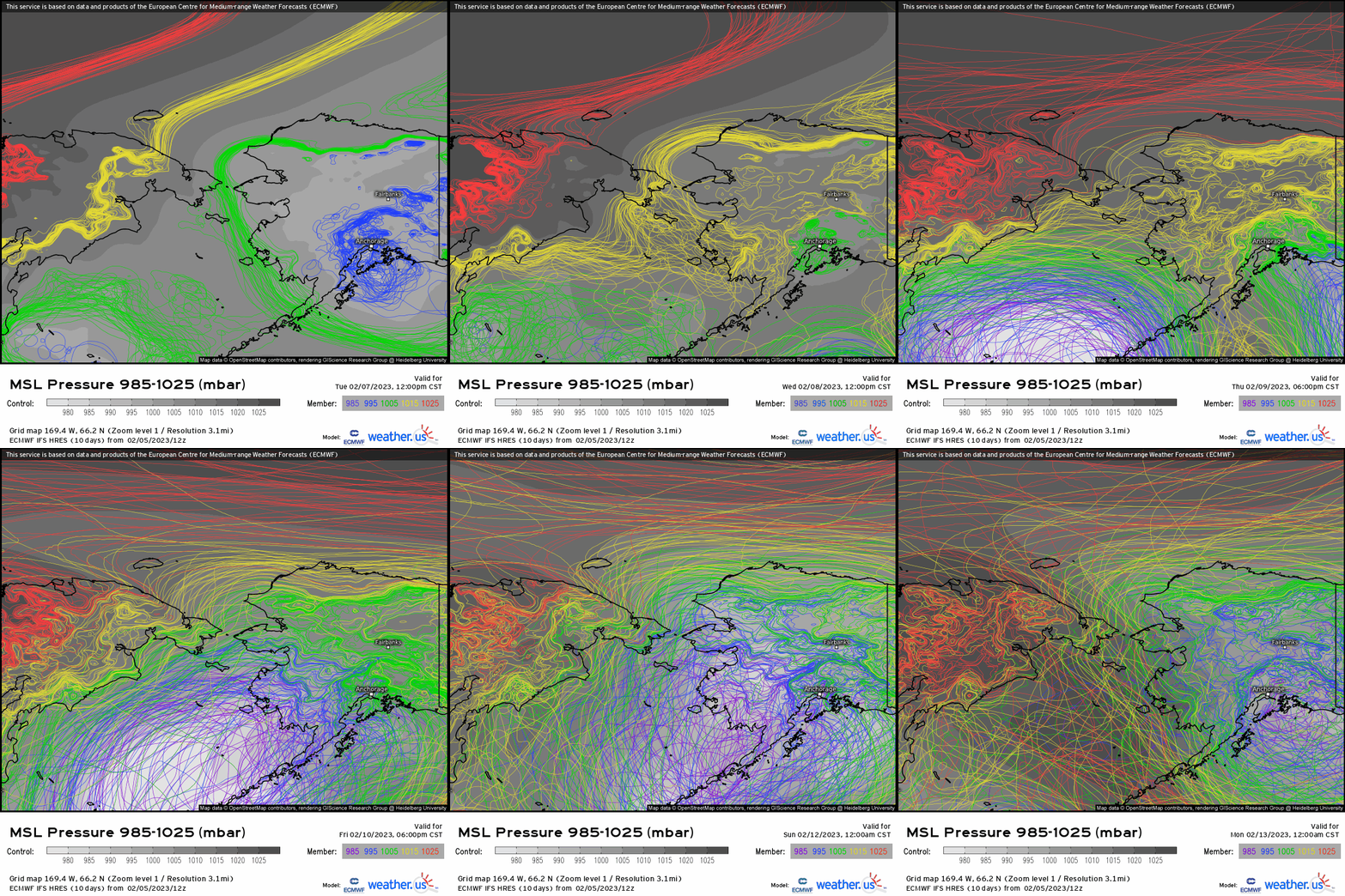
Utilizing spaghetti plots, it’s another cool visual to see relative to the ambient geography, where are the relative lower areas of pressure evident (and on the contrary, higher pressures). More so, notice the expansive amount of darker blues and purples? This is indicative of sub 995mb pressure systems, and stronger than 990mb even as some deterministic models show even lower pressures (i.e. sub 980mb).
Finally, when we zoom out looking at the entire northern Pacific, we see waves of intensifying low pressure systems barraging the coasts of Alaska and into British Columbia. This also will play into effect downstream across the West Coast, delivering yet more snow to the Intermountain West & Cascades.
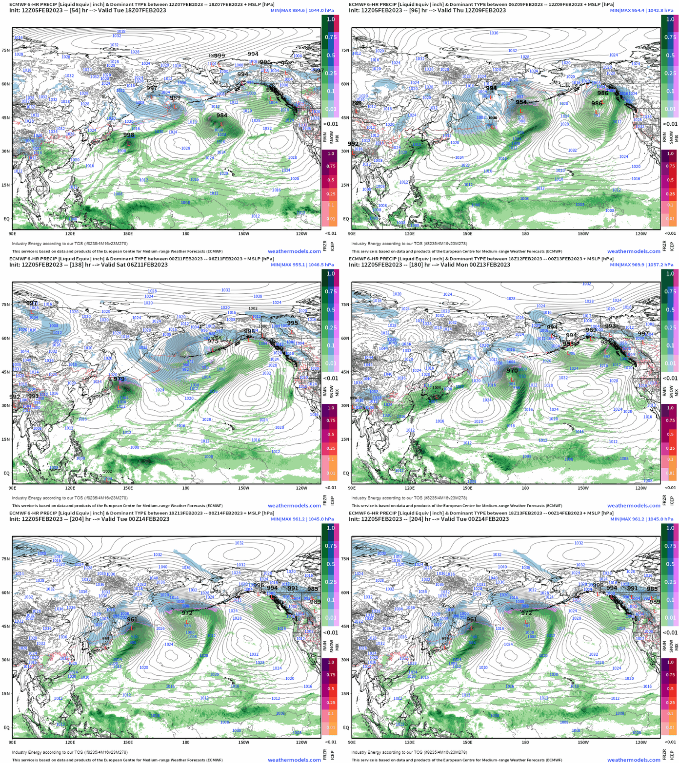
This provides feet of snow in the high elevations, with heavy rain and winds (especially gale force winds) as this active pattern continues until early next week before we see a slight relaxation.


