A Mostly Quiet Atlantic – For Now
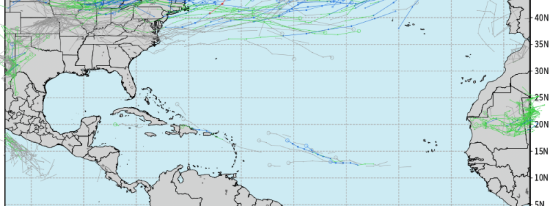
Despite very early MDR activity and ridiculously warm water, we have (so far) only managed to see four named storms so far this hurricane season. Of those four, only one (Don) reached hurricane status and none threatened land.
Can we expect any development in the medium term? In a word: no. Let me explain.
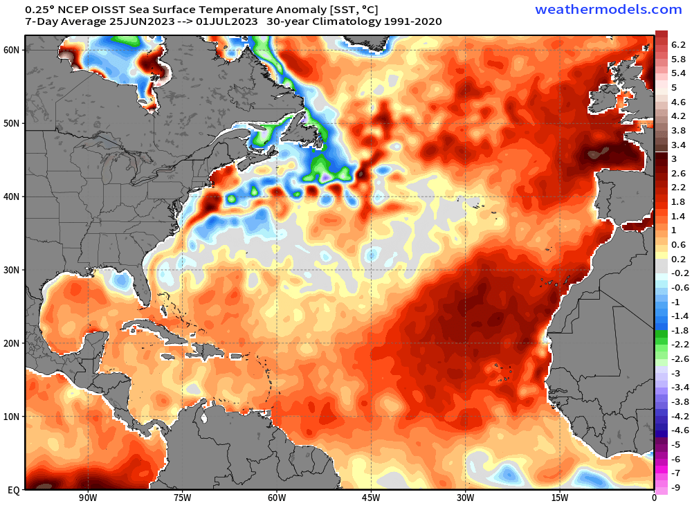
While it remains true that the water in the tropics/subtropics is still incredibly warm, we know that warm water alone won’t spark activity. It simply fuels an organizing disturbance.
According to tropical cyclone climatology, at this point in the year we can typically expect more of our tropical activity to begin originating in the MDR as African Easterly Waves, though formation off of old frontal boundaries closer to shore remains possible as well.
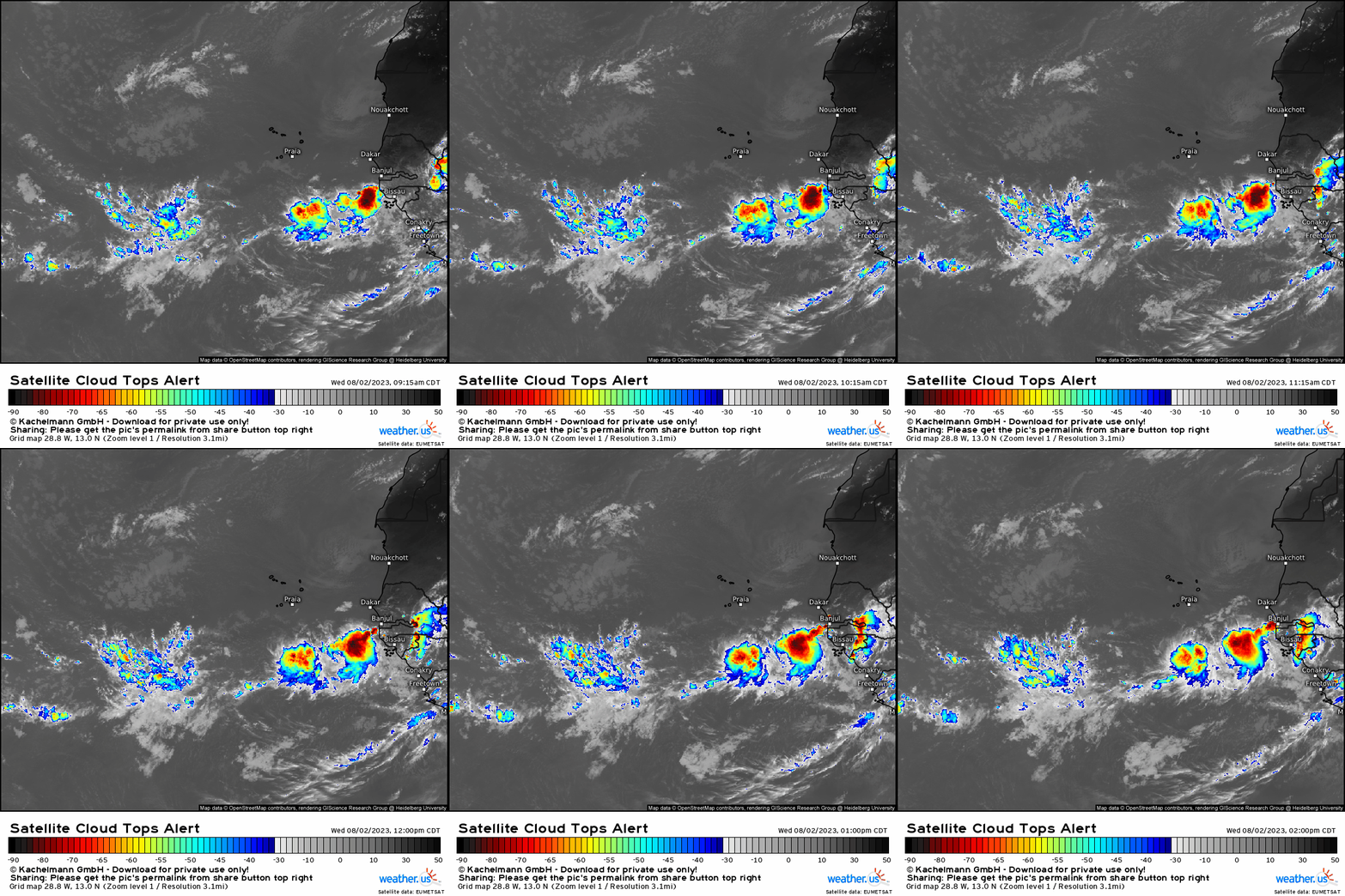
We seem to have an abundant supply of these African Easterly Waves (AEW). As seen in the satellite loop above, they are rolling off the African continent in close succession.
So what gives? Why no development?
In simple terms: the background state of the Atlantic Basin is currently unfavorable.
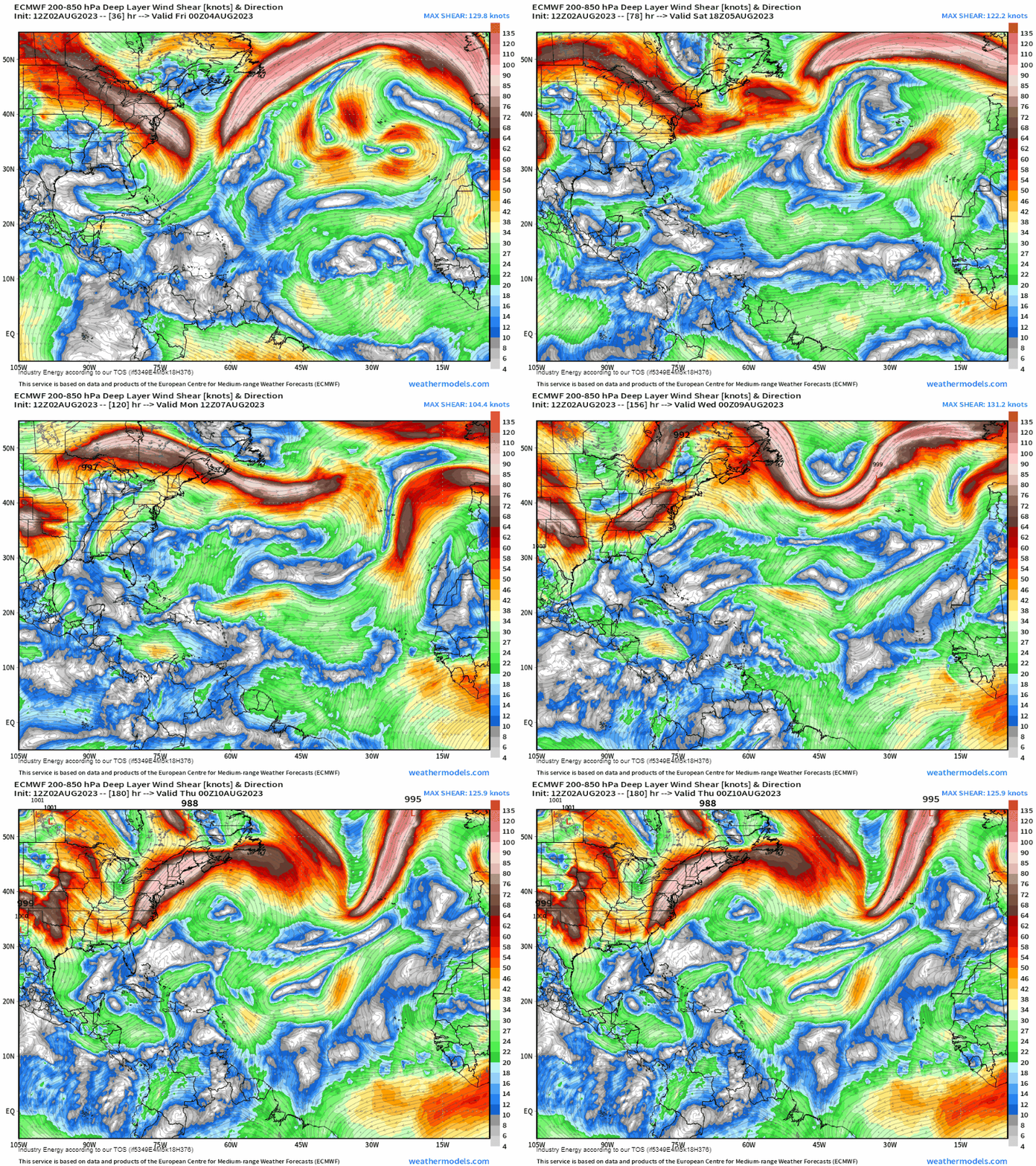
When we are in an El Nino phase, as we are now, wind shear across the Atlantic Basin typically increases as stronger westerly winds in the upper levels materialize.
Unlike the mid-latitude cyclones that routinely traverse the Lower 48, tropical cyclones must be vertically stacked. Generally, deep-layer vertical wind shear over 20 kts can tilt the structure and either prevent organization or weaken/destroy an existing cyclone.
As seen on the model run above, much of the Atlantic Basin will experience shear values over 20 kts through the next week. Sure, there are calmer regions, but their appearance is brief and transient.
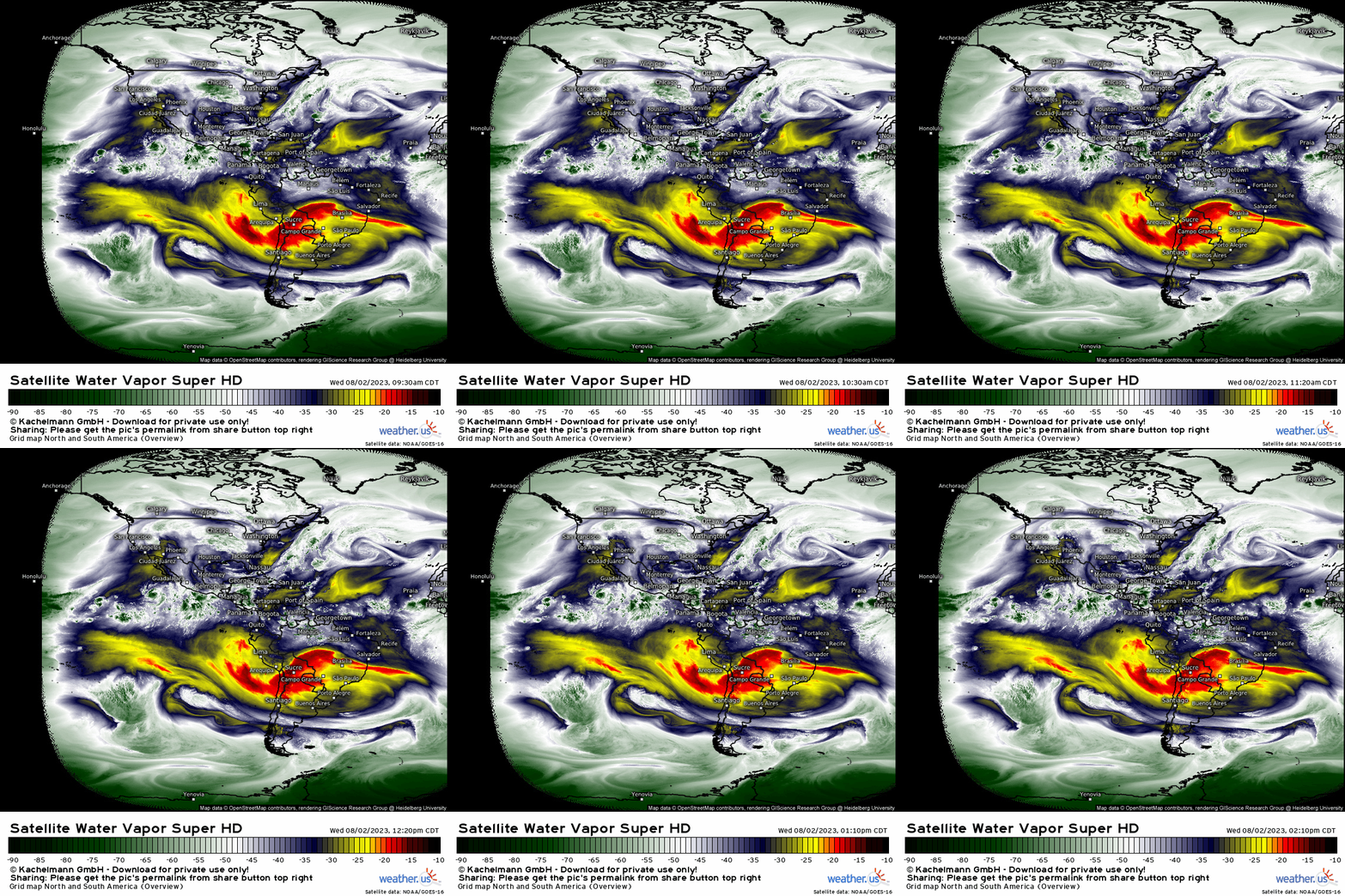
Another factor contributing the unfavorable background state is dry air. On the loop above, we can see a good bit of dry air (denoted bye the yellow/red coloring) parked over the MDR and extending into the sub-tropics.
Though we can see the AEWs by their deep moisture (darker greens), we can also see that the dry air is choking them as they progress further into the Atlantic. Note the difference in moisture content between the emerging AEW and the AEW that is further offshore.
So, while we have extremely warm water and no shortage of disturbances exiting Africa, wind shear and dry air likely won’t allow for any development over the next week.
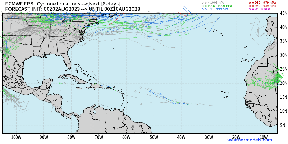
There are hints, however, that it could become more favorable closer to the middle of August. We’ll have to wait and see how that shakes out.
We will, of course, keep you updated as hurricane season rolls along.


