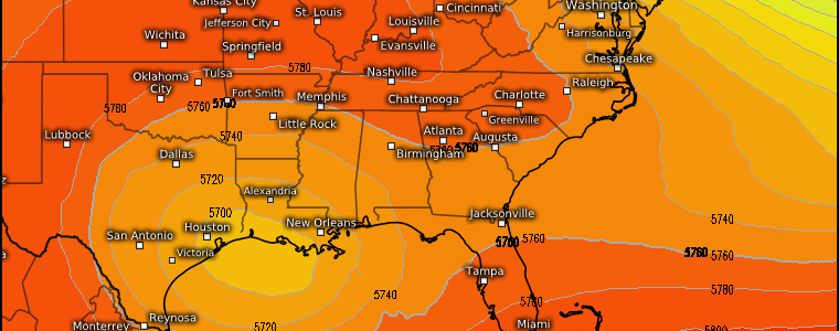
A Few Gloomy Days
It’s an A+ spring day for many as temperatures soar into the 60’s, 70’s, and even 80’s and clear blue skies reign under building high pressure.
You may have noticed I said “many” not “all.” That would be because we have a couple of notable exceptions.
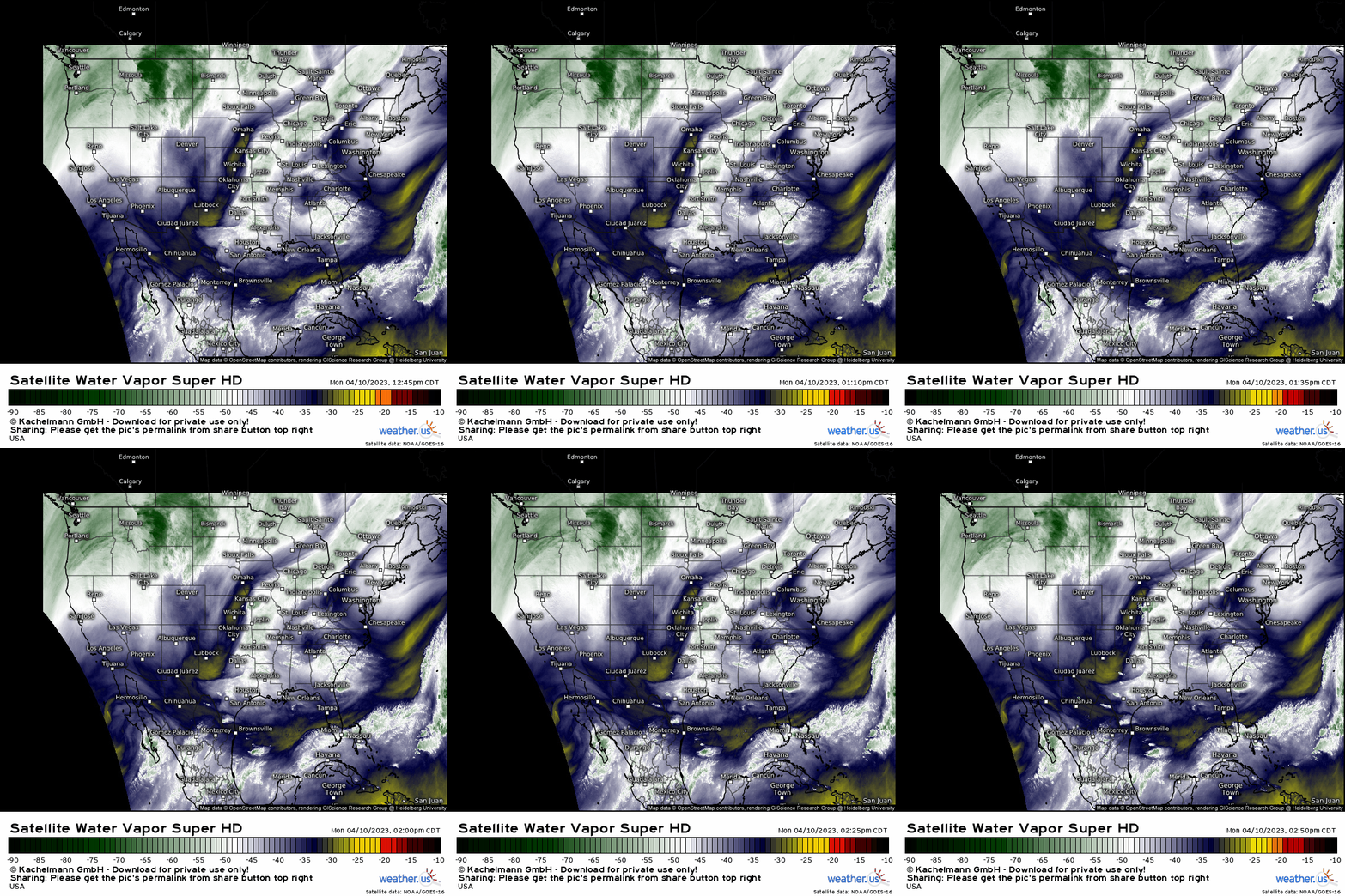
Using water vapor imagery, we can see a stream of moisture impacting the Pacific Northwest. As discussed in a blog last week, multiple systems moving through will keep this region soggy and cooler while the rest of the West (and much of the East) warms up.
Additionally, we can see a shortwave digging in over the Southern High Plains as moisture streams ahead of it into the central and southern Plains. In the very short term, this feature will make a few severe thunderstorms possible over the Central Plains today. In the days ahead, it will move south and become a bit of a nuisance for the Gulf Coast.
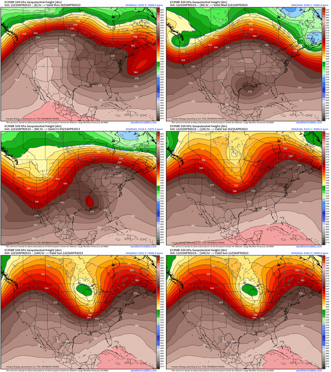
Once it moves south, this feature will become cut off from the jet stream. It will then linger over the northern Gulf of Mexico until the it is picked up by the next incoming trough later this week.
So, while much of the country is enjoying blue skies and warm temperatures, those along the Gulf Coast will experience a few days of cooler, cloudier, wetter weather.
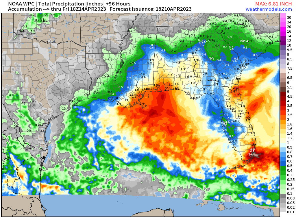
A few days of a lingering low could easily add up to an inch or more of rain for most of the coastal Southeast.
Some of the most notable totals could be seen on the Atlantic side of the Florida Peninsula as onshore flow keeps the showers and downpours coming. As all of the Florida Peninsula remains in drought, this could be good news – provided it doesn’t all come at once. Where the most persistently heavy rainfall is seen, flash flooding could become an issue.
However, long-duration onshore flow has less desirable consequences as well.
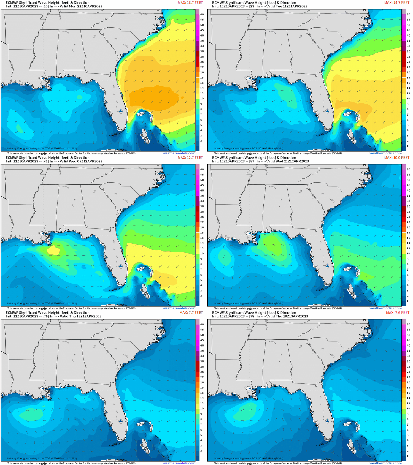
Those consequences come in the form of coastal flooding. Winds will push the water toward the shore, enhancing high tides and potentially flooding vulnerable coastal locations.
We’ve seen this happen more and more often as sea levels creep up over the years. In fact, coastal flood warnings are in effect for the northeastern part of the peninsula/southeastern Georgia this afternoon. As winds continue to shift, different areas of the Peninsula/parts of the Central Gulf Coast will be under threat of coastal flooding in the upcoming couple of days. If your property is waterfront and vulnerable to coastal flooding events, plan ahead to protect it if at all possible.
Enjoy a couple days of much-needed rain and slightly cooler temperatures. The heat will be back on by the weekend.


