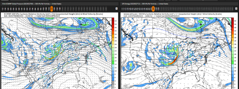
Rinse, Repeat: The Next Thursday/Friday Severe Threat
It’s been a wild and, unfortunately, fatal weekend as severe weather has plagued the South since Friday.
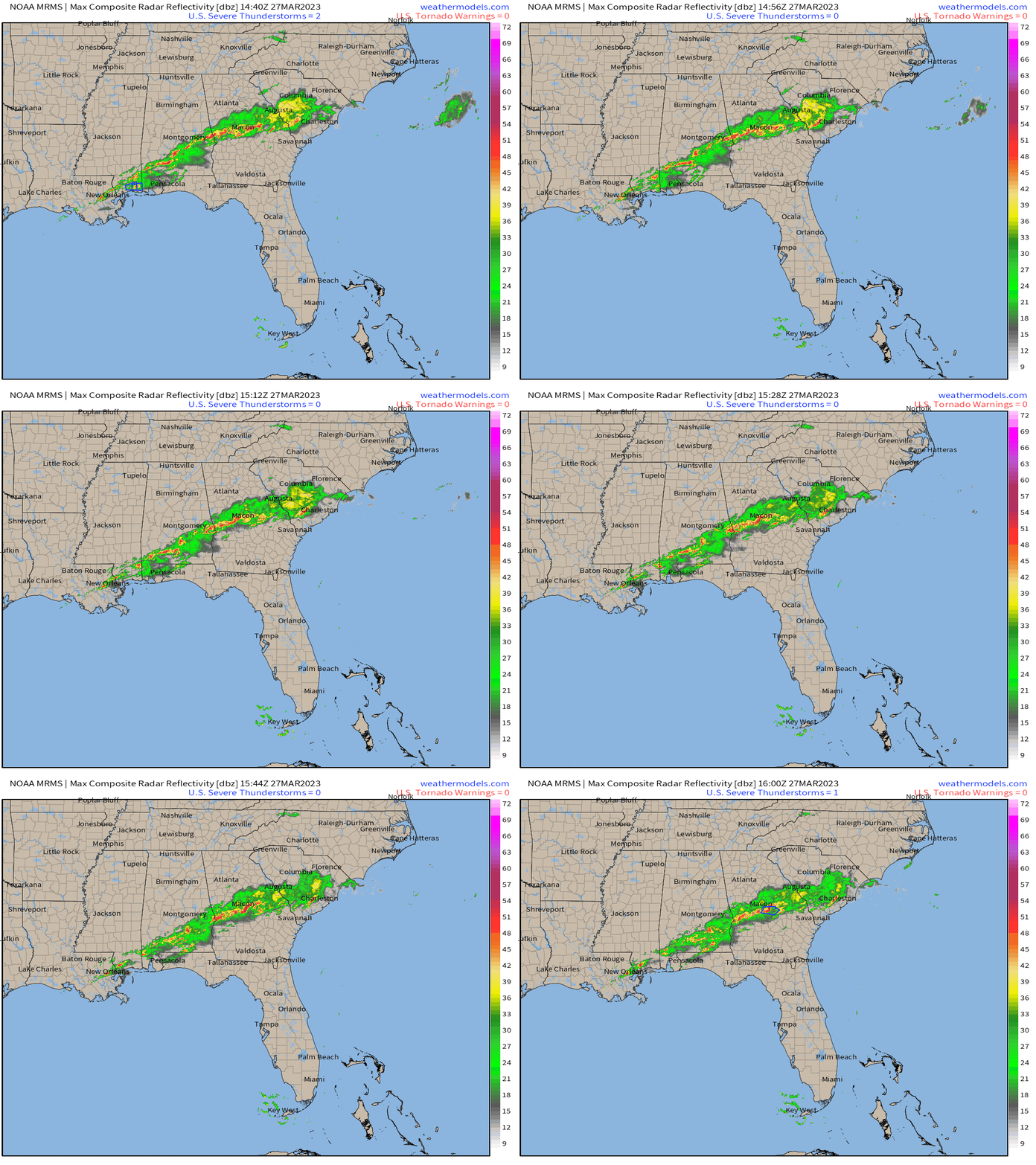
At the noon hour, things are somewhat more quiet as a line of storms works its way across the Southeast. The one exception would be a severe thunderstorm warning for part of middle Georgia near Macon.
Conditions will begin to trend downward later tonight, after a risk of isolated severe storms in the afternoon/early evening hours comes to a close.
The frontal boundary that was essentially stalled over the Southeast this weekend and helped to facilitate the rounds of severe weather we saw will finally get moving.
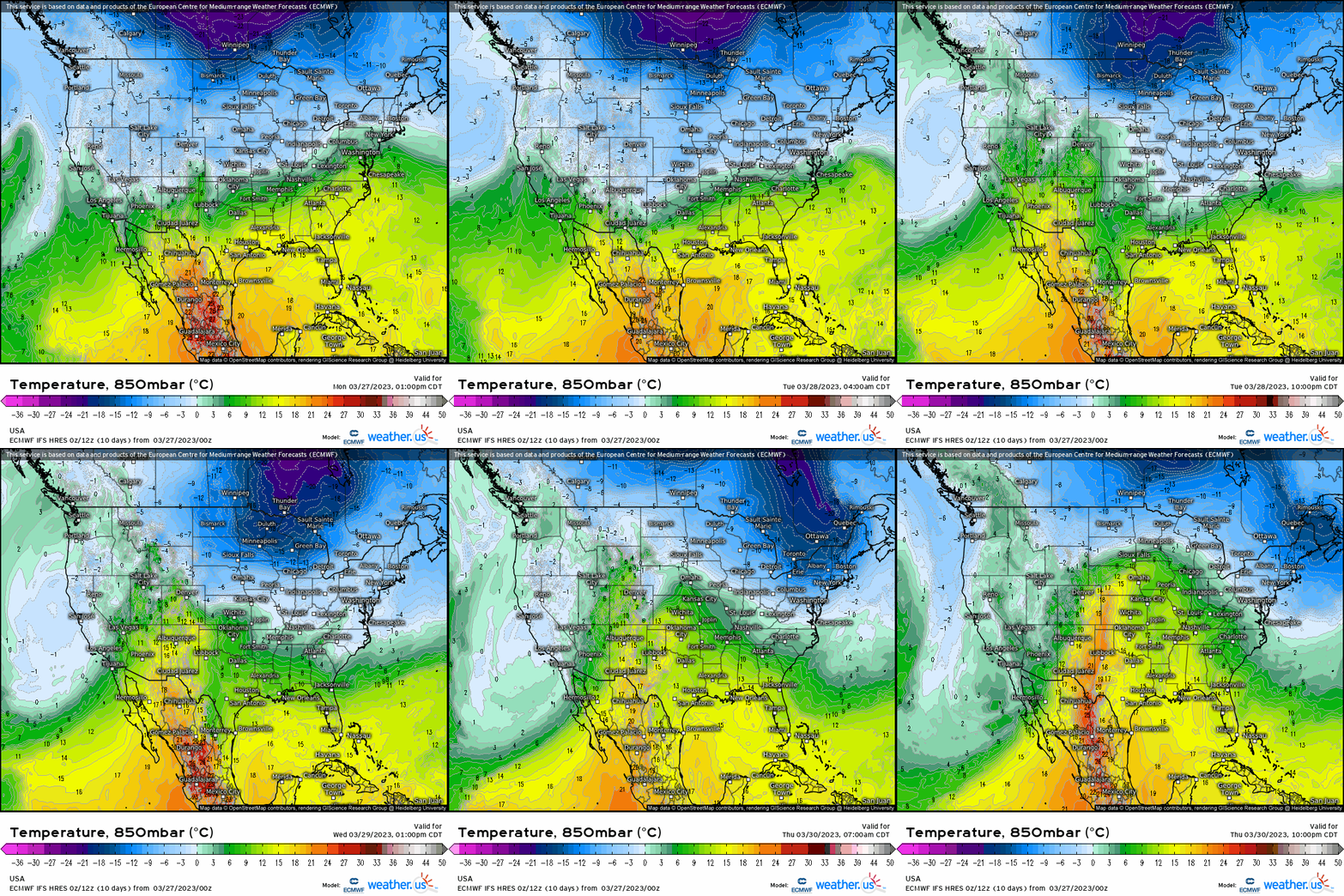
This will allow for some slightly cooler air to slide in behind the front, effectively squashing any widespread severe threat for the next couple of days. This won’t be truly cold air, but just cool enough to bring many slightly below average for a day or two.
However, direct your attention to the last few frames of the loop above. You’ll see that by later Wednesday, the tables turn once again. A southerly flow returns and so does warmer temps and Gulf moisture.
By the latter half of the week, we’ll once again be expecting multiple rounds of severe weather.
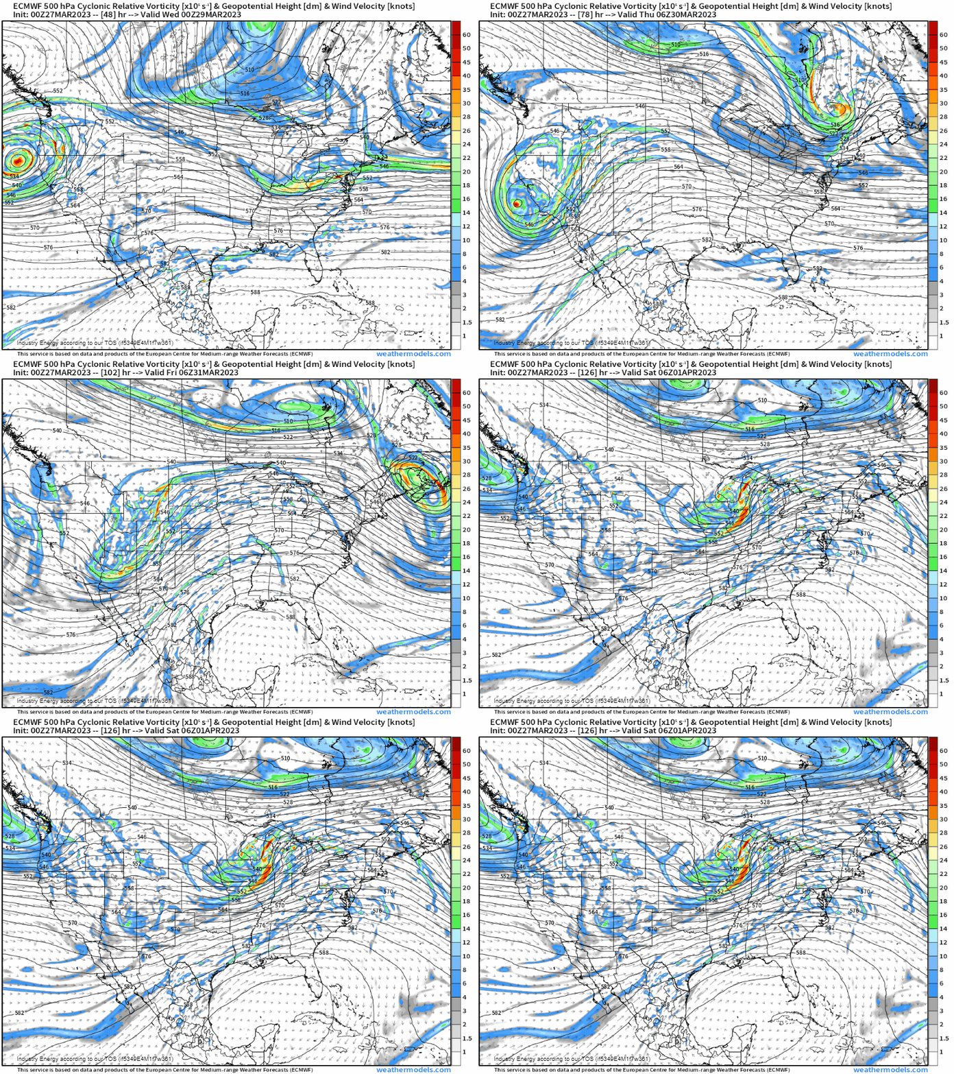
A strong system will roll into the West Coast early this week. Armando wrote about it in his Saturday blog if you’re curious about the details. The energy associated with this storm will continue east in the following days.
By Thursday, it passes over the Rockies and encounters a warm, moist airmass over the Plains and eventually the mid-Mississippi Valley.
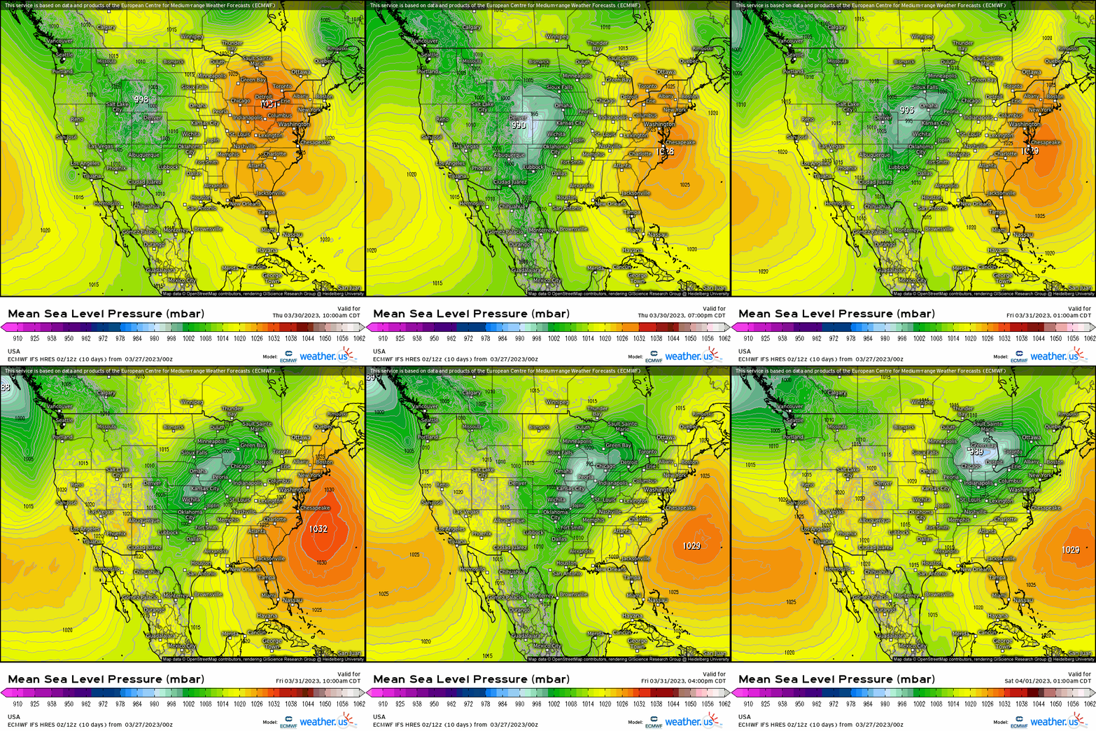
Unlike last week’s event, the budding surface low will begin to deepen quickly as descends the Rockies and moves out over the Plains. Also unlike last week, this low will be located somewhat farther north. This places the “bullseye” over regions that weren’t under threat during the last event.
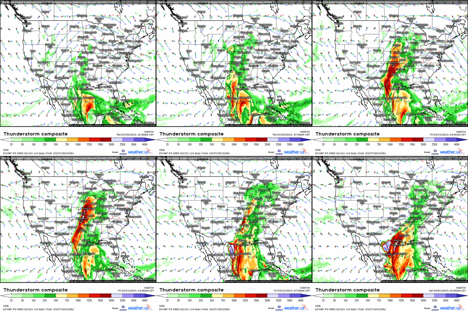
The current thinking is that severe weather will be favored over the Southern Plains on Thursday (similar to last week) and then shift north and east to the mid-Mississippi Valley (roughly Arkansas/Mississippi to Wisconsin/Iowa) on Friday.
Some minor disagreement exists between models on the exact track of the low at this time. Therefore, we should expect the risk areas to shift a bit over the next two days or so while we really fine-tune the forecast.
As far as expected hazards go: While it’s a little early in the forecast process to be overly specific, it seems that the ingredients in place will foster an all-hazards possible severe event – especially on Friday. Thursday seems more conditional as a strong cap is currently modeled, but has the potential to be an all-hazards event if the cap can be broken.
What You Need To Know/Do:
- Severe weather seems likely for both Thursday and Friday this week, with Friday having more potent, widespread potential.
- Forecast details are still coming into focus, so closely monitor the evolution of the forecast as it could still see some changes.
- If you are in the potential risk areas for either Thursday or Friday, start reviewing your severe weather plan and make sure all your supplies are in place. An abundance of caution never hurt anyone.
- Alert family or friends in the risk areas to the possibility of severe weather and make sure they are prepared and aware.
We’ll update this forecast later in the week as it becomes more certain.


