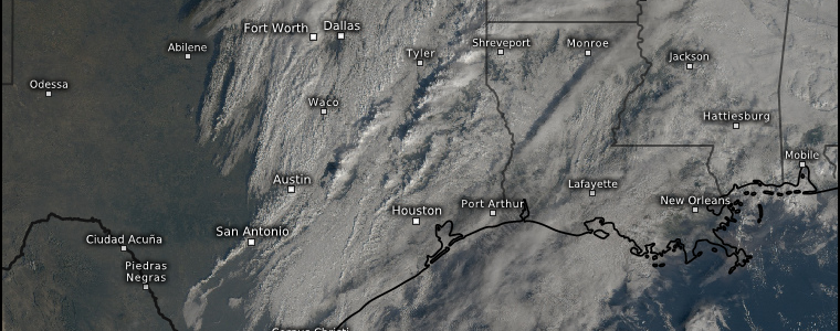
Another January Severe Threat
Another week, another winter severe threat for the Mid/Deep South.
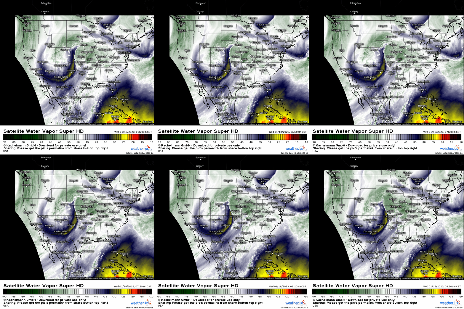
This morning’s water vapor imagery clearly shows a mid-level trough pushing eastward with moisture streaming northward ahead of it.
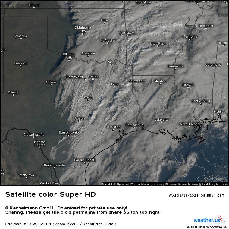
Ahead of a forming line of convection, we can see broken cloud cover. Daytime heating combined with moisture streaming northward is already providing energy to the atmosphere ahead of the blossoming line. According to mesoanalysis (available via the SPC), 1000 J/kg of CAPE is already in place over NW Louisiana and SW Arkansas, where broken cloud cover has been most prevalent.

An observed sounding from Shreveport, LA valid at 12Z gives us a glimpse at what our environment may be capable of today.
- A cap was in place at 12Z. According to mesoanalysis, this cap has been eroded away and a fair amount of CAPE is now available to incoming forcing.
- Low-level directional shear is good, with winds at the surface backing from the SSE before turning SW in the mid-levels.
- Speed shear is also good. Winds at 10 kts at the surface steadily increase to 40 or 50 kts by the mid-levels. This is enough to organize updrafts.
- Lapse rates aren’t great. Storms could have trouble strengthening quickly.
- Dry air is available in the mid-levels and may be able to entrain into updrafts, posing a damaging wind threat.
So the threats we’re expecting, based on the 12Z sounding and current mesoanalysis are damaging winds and a few tornadoes. Hail is also possible, but likely with only the stronger storms, if they materialize.
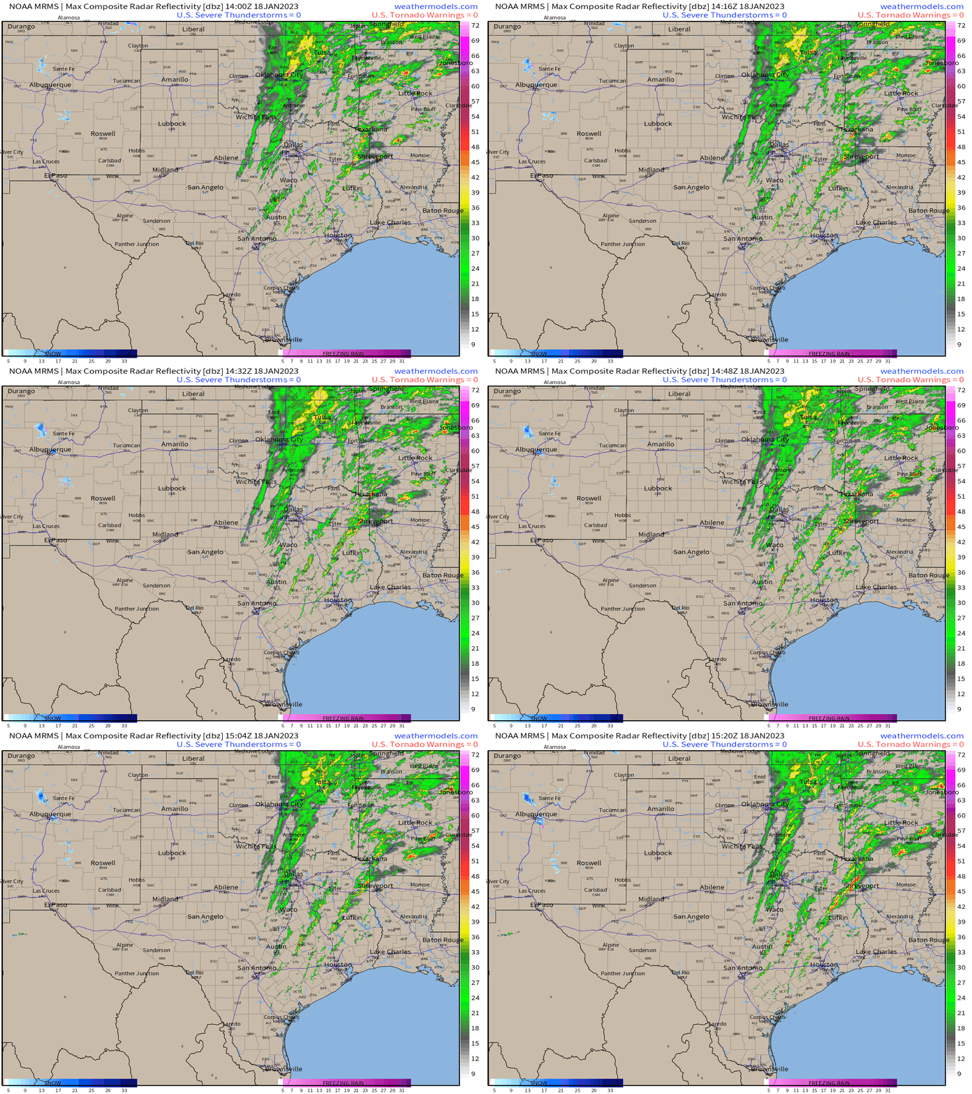
As we can surmise from current radar, a linear mode with damaging winds is favored for today. However, if any discrete cells can form and persist ahead of the line, they would be capable of posing a tornado threat – with the potential for a strong tornado if they are able to strengthen as well.
As I type this at 10 AM Eastern, a new tornado watch has been issued for the region in question suggesting the NWS does in fact consider discrete cells a possibility.
Later in the event, however, the convection will become mainly linear with damaging winds being the main threat. Of course, a tornado or two will remain possible within the line.
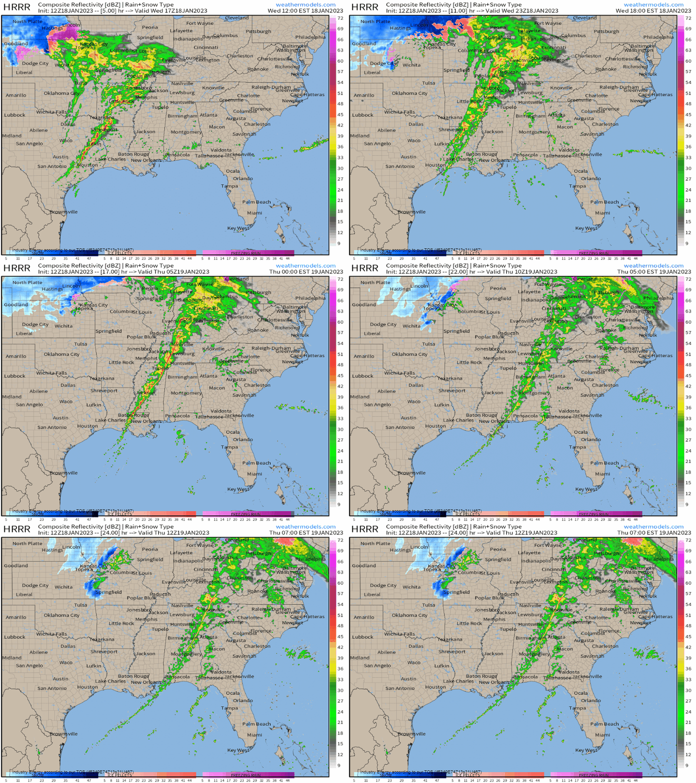
The severe threat should persist through the evening hours before the line enters more a more stable environment later tonight and weakens.
Either way, be weather aware today with multiple ways to receive warnings and a plan to shelter ready to use if necessary!


