California Rains End, Soggy Pattern Heads East
At long last an end is in sight to the relentless stream of moisture that has been inundating California.
While the moisture was no doubt needed, breaks between events during which the moisture could be absorbed and rivers could recover without dire consequences would have been appreciated. But, we get what we get and now we move on to a drier pattern.

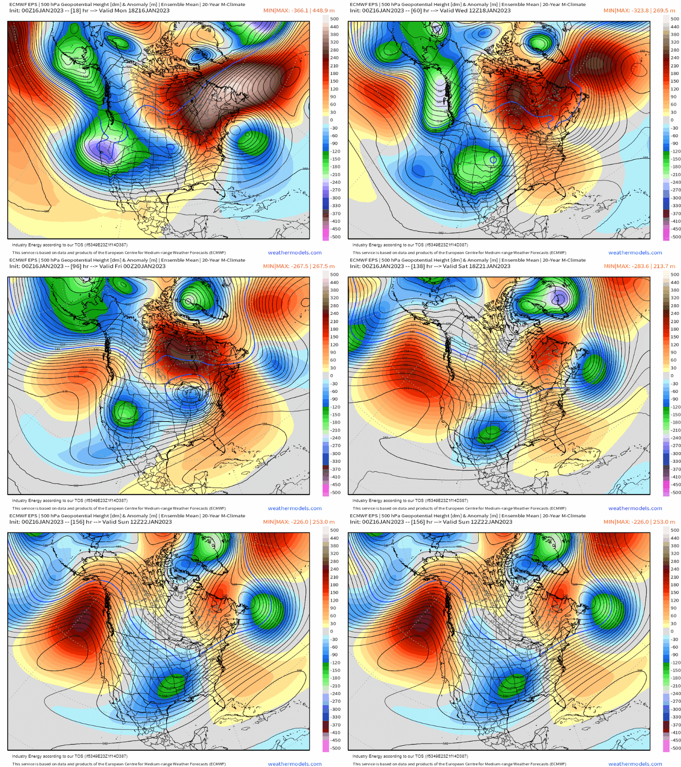
As we move through the week, ridging will slowly build in off of the Pacific and into the West. This will effectively shut off the stream of moisture to or, more specifically, redirect it away from California.
After tomorrow, any disturbances entering the US will filter in off the Pacific from western Canada before diving down into lower 48.
Modeling suggests that, over on the other side of the country, a southeast ridge will materialize. This allows an active storm track to set up as disturbances roll down the Rockies into the Central US and ride along the ridge into the Northeast.
So what does this mean for those east of the Rockies?

In the cold sector, of each system, there will be multiple chances for accumulating snowfall.
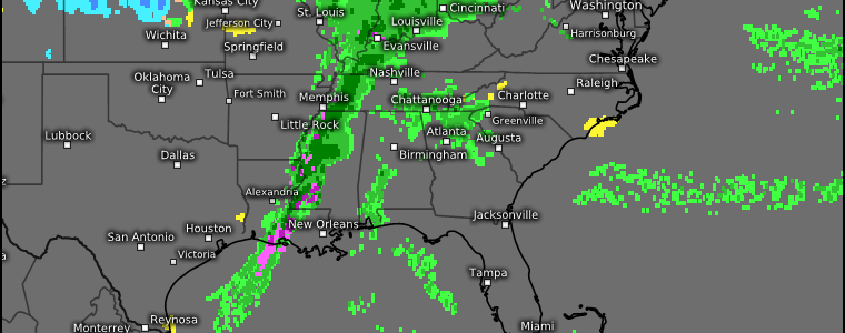
In the warm sector, heavy rain with the threat of flash flooding is possible along with at least one shot for severe weather in the Mid/Deep South.

As for temperatures, we’ll keep with the “winter torch” theme for a while longer in the East. Temperatures are expected to be (much) above average for many with no real cooldown in the near-term.
So, for snow-lovers in the Eastern US: sorry, but you’re out of luck as no big snowstorm is in the forecast for this upcoming week. For now, it’s simply above average temperatures and more rain.
Speaking of colder air, there is a possibility that colder air will filter into the region east of the Rockies later next week as the EPO goes negative. However, the continued presence of the Southeast ridge may prevent that cold air from progressing too far south and east. We’ll have to watch the evolution of the forecast in the coming days as it is still over a week out.
For now, get ready for rounds of rain (and snow for those far north), continued above average temps, and the possibility of severe weather on Wednesday. I’ll have a blog out early Wednesday discussing the severe set up for the day.


