An Update To Thursday Night’s Severe Threat
I’m going to take a few minutes in today’s blog to revisit the severe weather potential we talked about for Thursday night in yesterday’s blog.
The severe threat has trended down a little bit in the last 24 hours. Now, what does that mean in terms of the forecast?
Well, it generally means that, while the threat is not off the table, it seems to be a little less potent. Can that trend back in the other direction in the next 24 hours? It’s not completely out of the question. That’s why you should always keep up with an evolving forecast!
Let’s look at what has changed.

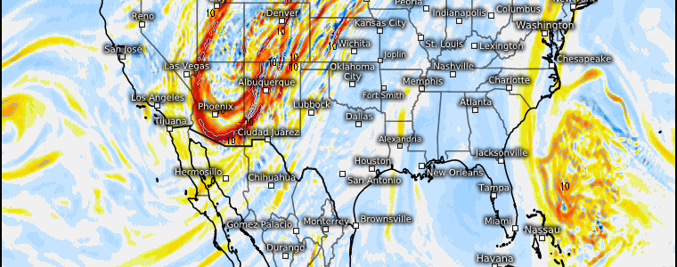
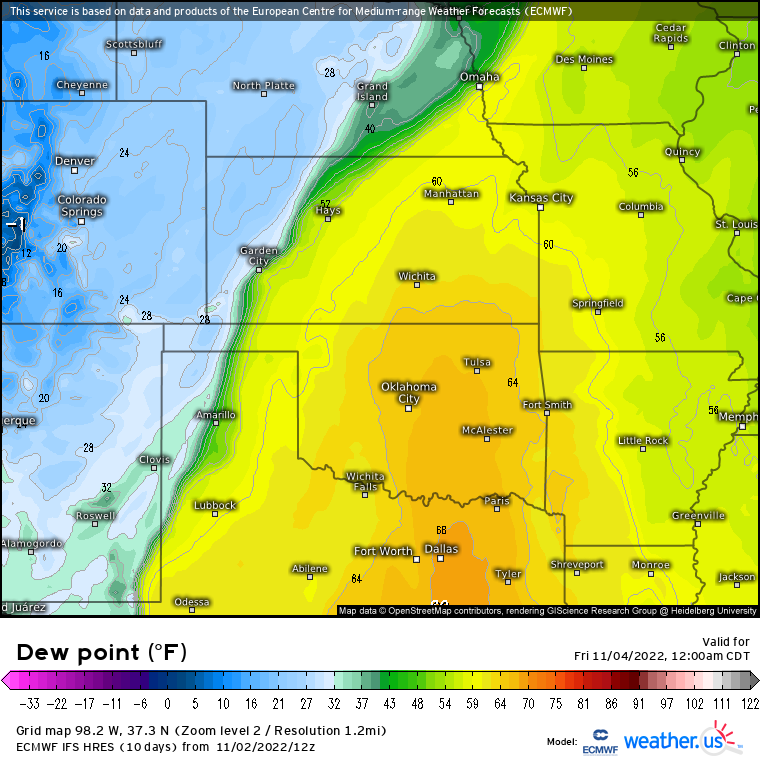
While we’re still expecting an influx of moisture in the evening hours as the LLJ ramps up, the location of the quality moisture has shifted some. The higher dewpoints can now be found further east than yesterday’s run. With better moisture now displaced eastward, only isolated severe weather is expected rather than the more widespread possibilities we looked at yesterday.
Timing is starting to shake out as well.

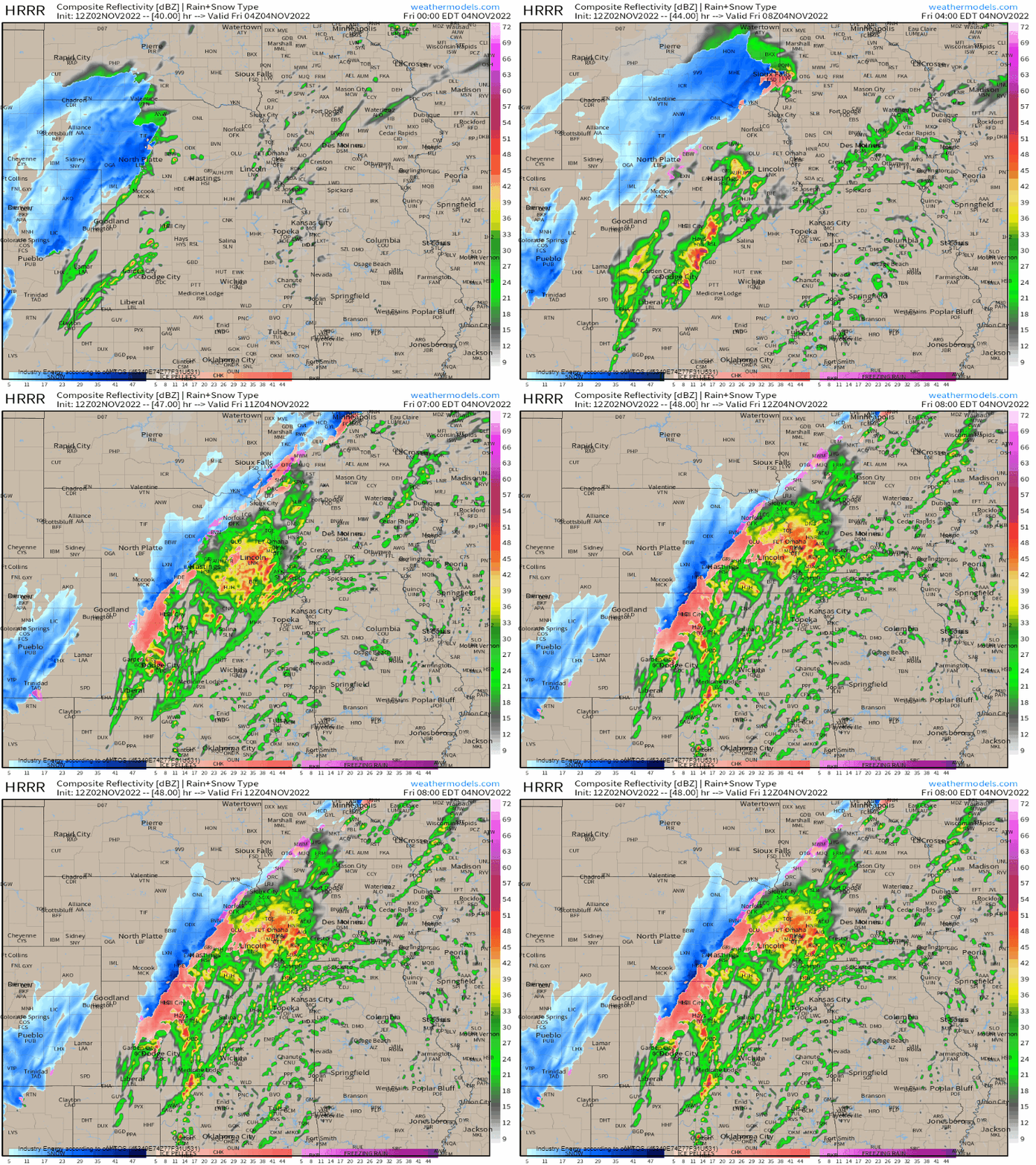
Ignoring intensities depicted or exact details/placement for the moment, most of the models are honing in on convective initiation after midnight or maybe even closer to 2 am before anything really gets going.
At the current time, there seems to be a very brief window for more potent severe weather – not long after initiation – before everything grows upscale and becomes sloppy as we approach sunrise.
Severe storms still remain possible from roughly Northwest Texas through far Southeastern Nebraska, but the bullseye, so to speak, appears to be from just south of Lubbock, TX, through the Dodge City area of Kansas. That’s valid for the current forecast, anyway.
What You Need To Know:
- The severe threat has trended downward a bit toward more isolated severe weather than widespread possibilities. That said, all hazards remain on the table.
- Have a plan to shelter ready to go and multiple ways to receive warnings, including one that is guaranteed to wake you, as this remains an overnight event.
- Keep an eye on the evolution of the forecast through your local TV meteorologists and NWS offices as new data continues to come in. Further changes may be required.
Though Thursday night’s threat seems a little lackluster right now, we’ll see a renewed threat a little further east from the same system later on Friday.
Armando will have a blog tomorrow addressing the forecast and it’s possibilities. Stay tuned!


