Gray and Gloomy Through Mid-Week
What was Hurricane Ian has dissipated, but that doesn’t necessarily mean an immediate transition to blue skies and warming temperatures for some of us.
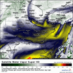
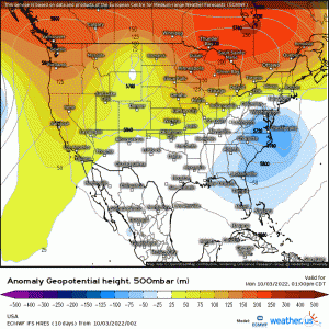
An upper-level low aloft lingers just offshore of the Mid-Atlantic region. And, unfortunately for those underneath, its going to linger a bit longer.
But this could add up to more than just gray skies and showery periods.
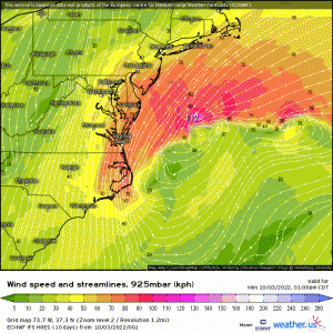
Persistent onshore flow, especially from roughly New Jersey to the coastal regions of North Carolina, may result in coastal flooding, especially on top of high tides. Conditions will remain breezy as well with winds gusting to 30+ mph, especially along the coast. Not exactly apple-picking weather, is it?
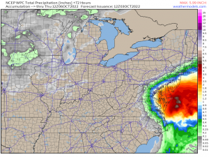
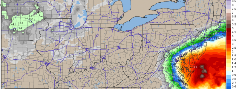
Rainfall amounts over the next 3 days could be fairly heavy as waves of showers persist. The Delmarva and southern New Jersey will likely catch the bulk of the rainfall with decreasing amounts further inland.
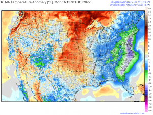
Additionally, temperatures will remain well below average as cloud cover persists.
In fact, at this hour, much of the East Coast is 10 to 20 degrees below average. If you’re a lover of chilly, cloudy, blustery fall days – this forecast is for you! Personally, I’m all about a hot coffee, cloudy day, falling leaves, blanket, and a good book. And I know I’m not the only one.
But dreary, cooler weather must come to an end at some point.
Our nearly-stationary upper-level low will be kicked out to sea around mid-week by the next incoming trough. This will allow for some temporary clearing and warming before the next system slides in and brings more showers and chilly weather for the weekend.
Hey, you wanted sweater weather, right?
