Wet Pattern Inbound For the 4-Corner States
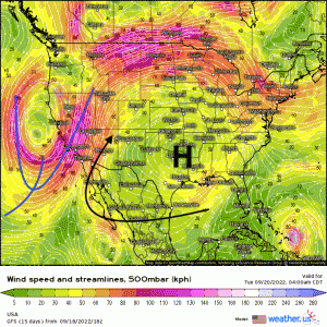
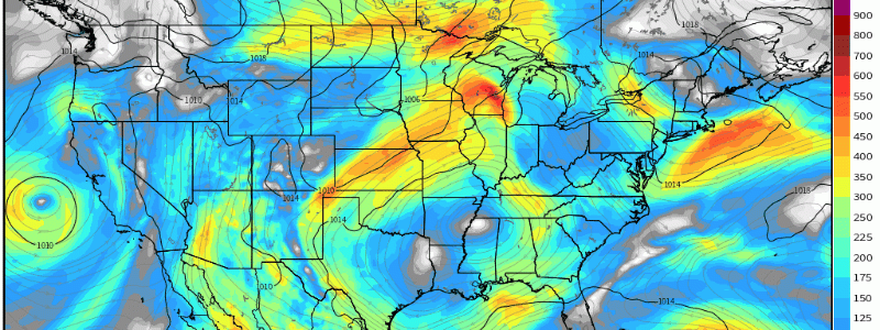
A “squeeze-play” synoptic configuration, between a relatively strong cut-off mid/upper-level trough off the West Coast and a large-scale anticyclone over the lower Plains/Deep South, will facilitate a wet pattern for portions of Southwest, southern Rockies, and Central Plains. As the trough begins to propagate eastward and lift, tropical moisture will stream in between the trough-ridge pattern. Using the GFS z500mb geopotential height product, you can specifically see where the mid-upper level winds are being directed from.
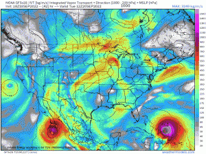
To further supplement the geopotential height pattern, utilizing a product coined “Integrated Vapor Transport” (IVT) allows one to trace water vapor in the atmosphere, here below displays vividly where the “bulk” of atmospheric moisture is stemming from. Through this week, notice the advection of moisture from the Eastern Pacific, where tropical storm “Madeline” is seen churning southwest of Mexico. This tropical cyclone, while it’ll curve out to sea, will still be responsible for allowing its moisture to get caught within the synoptic flow between the trough and aforementioned ridge.
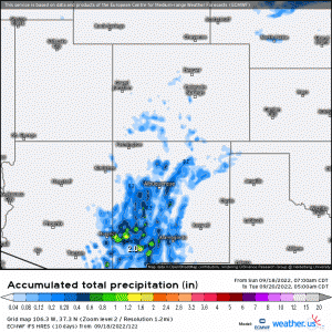
Through Friday, it’s expected that over several inches will fall with daily rates exceeding 1”/hr across localized areas across the four-corner states – especially terrain sensitive to flooding, where flash flooding will be the biggest concern.
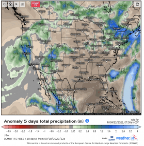
Verbatim the ECMWF EPS, this product represents an aggregate of five days of where the most anomalous precipitation will manifest. As you can see, the Southwest and southern Rockies will see above average total precipitation with a “bullseye” right across the four corner states.
By Friday, the trough will finally lift out toward the north and behind it, higher pressure and drier air advect in cutting off the moisture transport and risks for heavy rainfall along with flash flooding.
