Record Heat and Stormy Weather
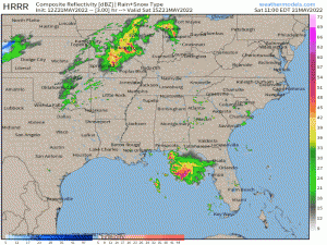
Potential record heat and severe storms are all on the menu today for some of the Eastern US.
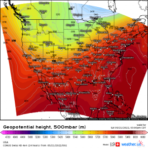
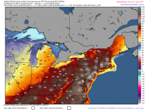
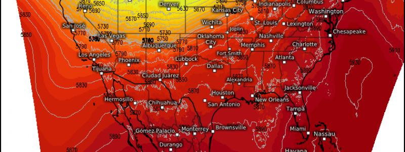
As we discussed in Wednesday’s blog, a digging trough over the northwestern US is forcing a ridge to amplify eastward. This results in record or near-record heat for the Northeast and Mid-Atlantic today.
In the zone where the ridge meets the trough, roughly running from the Mexican/US border in southern Texas to the Canadian/US border in Maine (roughly 2000 miles long), severe storms are possible as a front moves eastward.
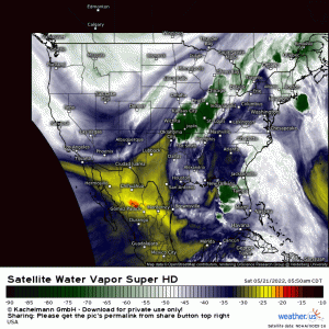
As usual, water vapor imagery gives us the best visualization of our current scenario. We can clearly see the dipping trough along with convection firing ahead of it. As this pushes east later in the day into air warmed and moistened by the weak southwesterly flow under the ridge, severe weather becomes possible.
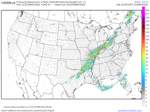
For most, damaging winds and/or some larger hail will be the main threats these storms have to offer. However, an isolated tornado or two is also possible where better lift, shear, instability and surface convergence meet.
These ingredients are forecast to be maximized along the Ohio Valley and the Ozarks ahead of the cold front and then into western Maine along the Canadian border.
Elsewhere in the Eastern US, pop-up style showers are expected this afternoon as daytime heating reaches its peak in the Southeast.
These will be pulse thunderstorms – the kind that appear quickly and rain themselves out just as quickly. However, if any are able to strengthen briefly, damaging winds in the form of downbursts are possible – especially as the storm collapses.
These will be widely scattered and random, driven by the best heating and moisture. Convergence along a boundary such as a sea breeze will also help focus where these storms form. Orographic lift also helps out here as warm, moist air is forced over the Appalachians and given a boost to strengthen upward into a storm.
Not everyone will see storms today. If you’ve lived in the southeast long enough, you know pop-ups are truly random. They soak one part of town but 2 or 3 miles away its bone dry. As it is the weekend and people are no doubt outside enjoying the warmth, pay attention to the weather and get inside if you see something coming your way. Remember that if you can hear thunder, you’re close enough to be struck by lightning. Don’t risk it!
Enjoy your weekend – stay weather aware, cool, and drink plenty of water if you’re out and about outside today!
