More Than Rain For the Pacific Northwest
As it is Spring, we expect potential severe weather from the Plains states (where there is a fairly conditional risk today involving mainly large hail), to the South, and even sometimes into the Mid-Atlantic/Northeast.
But there is another severe weather risk today, quite different from the Plains set-up. It’s in a region that, when thought of, doesn’t often go hand-in-hand with severe weather: the Pacific Northwest.
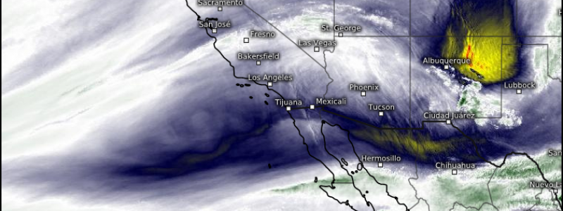
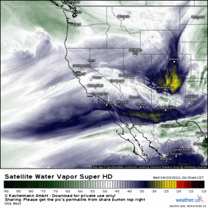
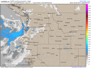
A trough digging in to the West Coast will bring beneficial rain and mountain snow to the Pacific Northwest and parts of California. However, ahead of the cold front and west of the Cascades, relatively weak destabilization will take place – especially where the clouds clear after the morning round of rain.
This is by no means forecast to be a particularly widespread or potent event, however…
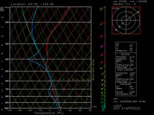
…weak instability, steep mid-level lapse rates, and good speed shear could be enough to organize a few storms.
You’ll note I said “speed shear” and not “directional shear.” The wind does not really change direction with height in this sounding. So, while a brief tornado is possible for today, the chance for one may be based on topographical influences or mesoscale components that aren’t easily seen by models.
For example: a subtle turning in the wind in one area (especially in the lower levels) while the surrounding areas are still experiencing unidirectional winds may make the difference between a quick spin up and a regular thunderstorm.
Given the surface temperatures and forecast weak destabilization, this amounts to only a very marginal threat. However, if any storms are able to organize as they come onshore, wind, hail, and a spin-up are possible.
Again, not a potent threat – but an interesting one, given the region.
Stay tuned for tomorrow’s blog when I’ll discuss a more widespread potential event forecast for Friday.


