New Week, New Severe Threat
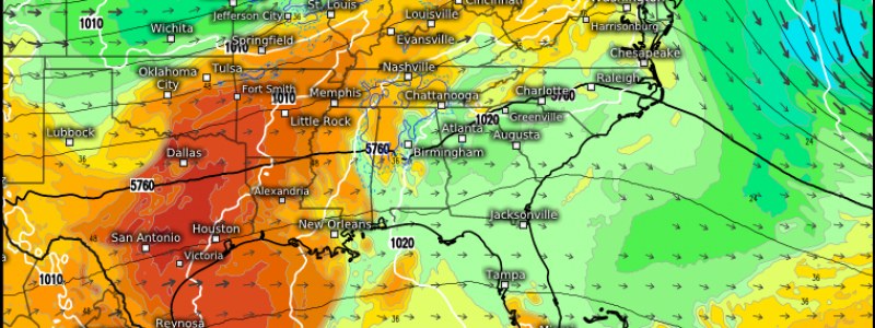
A new week, a new severe threat. Unlike the previous weeks where the focus was on the southeast, however, this threat will linger in the Central US for a few days before a strong cold front pushes it further east.
Today’s threat is not quite as widespread or as potent as tomorrow’s is expected to be. However, where convective initiation does occur, conditions will be supportive of somewhat significant severe weather.
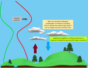
Before we go any further, I’m going to share an explainer for capping inversions. Caps will play a part in this week’s severe weather, especially tomorrow. So, for those who don’t know:
Hopefully my homemade graphic helps you visualize this process.
A capping inversion occurs when a layer of warmer air is present aloft. Warm air rises from the surface and undergoes condensation – if moisture is present, at least.
This rising air eventually hits the capping inversion, which is warmer than the rising air. Air cannot rise into another layer of air warmer than it, so it is forced to sink. This process continues until either enough instability is added or a lifting mechanism (like a cold front) comes along to force the air through the cap. Additionally, the air below the cap can warm to a temperature greater than the air aloft and the cap will disappear. Either way, deep convection can now occur.
In situations where there isn’t enough instability added or there is no forcing mechanism, the cap remains in place and no deep convection occurs.
A capping inversion will play a role in today’s severe weather set-up.
The focus for today’s event lies across the Mid-South – from northeastern Texas to far southern Illinois. A cold front that is sinking southeast this morning will return north as a warm front this afternoon/evening as a much stronger system begins forming to its west.
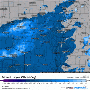
While there is a capping inversion in place this morning, the cap is expected to slowly erode as moisture is brought in from the south throughout the day. However, enough of a cap is expected to remain to sort of focus the storms, allowing discrete cells to form instead of a big, multicellular mess.
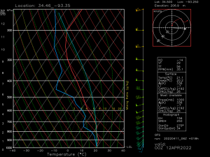
Usual disclaimers apply to this sounding: It’s the GFS and therefore a lower resolution – but we can still gather information on the state of the atmosphere.
- Very steep mid-level lapse rates will not only allow for the strengthening of any storms that form, but a large hail threat as well.
- Good shear (both speed and directional) is adequate for organizing and sustaining supercells as well as a tornado threat.
- Slight dry layer aloft with winds ~35 kts within it is enough to translate to a damaging wind threat for some, especially if upscale growth occurs later in the event.
- Enough of a cap exists to only allow stronger updrafts through. This lends to a more discrete mode than multicellular or linear.
As far as timing goes:
Expect storms to begin forming in the late afternoon and early evening.
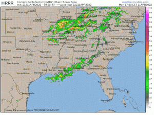
Outflow boundaries from the morning showers and storms will be key here. They can help provide a little extra lift to get things going over where ever they lie.
Since this event is a late starter and will continue into the after-dark hours, be sure to have multiple ways to receive warnings including at least one that will wake you. Be ready to enact your plan to shelter if you should need to do so.
Severe weather threats continue on Tuesday, but we’ll look at that in tomorrow’s blog.


Thank you!